MyTopo
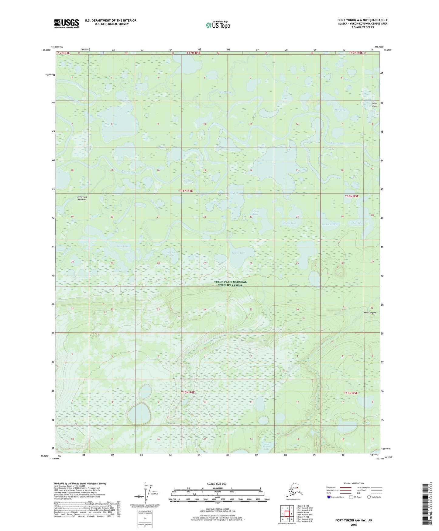
Fort Yukon A-6 NW Alaska US Topo Map
Couldn't load pickup availability
2018 topographic map quadrangle Fort Yukon A-6 NW in the state of Alaska. Scale: 1:25000. Print Size: 24" x 29"
Based on the newly updated USGS 7.5' US Topo series, this map has UTM / MGRS grids and is in the following counties: Yukon-Koyukuk (CA).
The map contains contour data, water features, and other items you are used to seeing on U.S. Geological Survey maps, but also has updated roads and other features. This is the next generation of topographic maps. Printed on high-quality waterproof paper with UV fade-resistant inks.
Contains the following named places: Beaver Lake, Clam Lake, Jefferson Creek, Jefferson Lake, Jefferson Meadows, John Roberts Lake, Long Lake, Long Lakes, Long Slough, Loon Lakes, Michel Lake, Mud Canyon, Olaf Lake, Stinking Lake, Swede Boys Camp, Victor Lake, Willow Lake