MyTopo
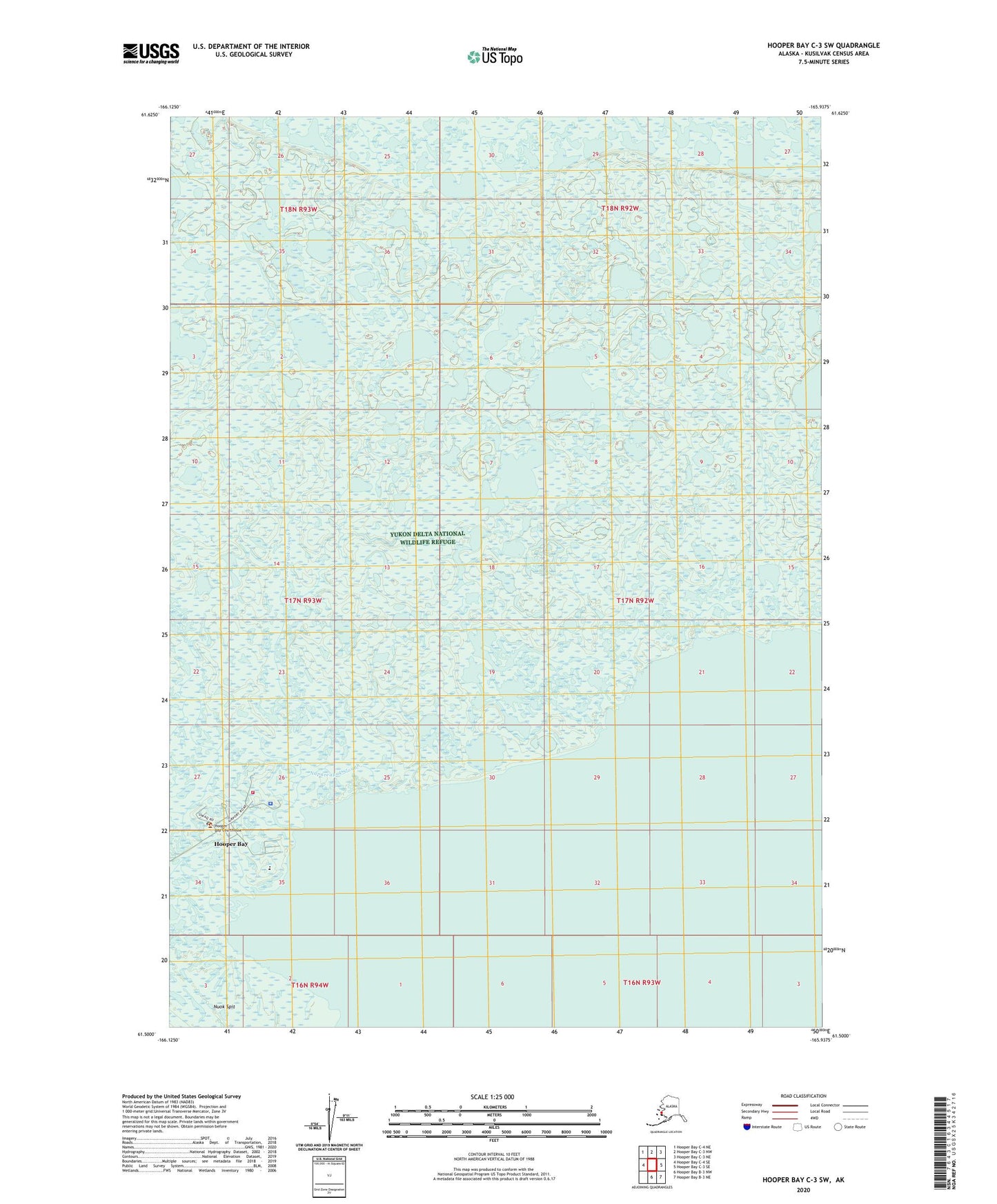
Hooper Bay C-3 SW Alaska US Topo Map
Couldn't load pickup availability
2020 topographic map quadrangle Hooper Bay C-3 SW in the state of Alaska. Scale: 1:25000. Print Size: 24" x 29"
Based on the newly updated USGS 7.5' US Topo series, this map has UTM / MGRS grids and is in the following counties: Kusilvak (CA).
The map contains contour data, water features, and other items you are used to seeing on U.S. Geological Survey maps, but also has updated roads and other features. This is the next generation of topographic maps. Printed on high-quality waterproof paper with UV fade-resistant inks.
Contains the following named places: Hooper Bay, Napareayak Slough, Kuskunuk (historical), Hooper Bay Alaska Native Village Statistical Area, City of Hooper Bay, Hooper Bay Volunteer Fire Department, Yukon Kuskokwim Health Hooper Bay Subregional Clinic, Hooper Bay Police Department, Hooper Bay City Jail, Hooper Bay Post Office