MyTopo
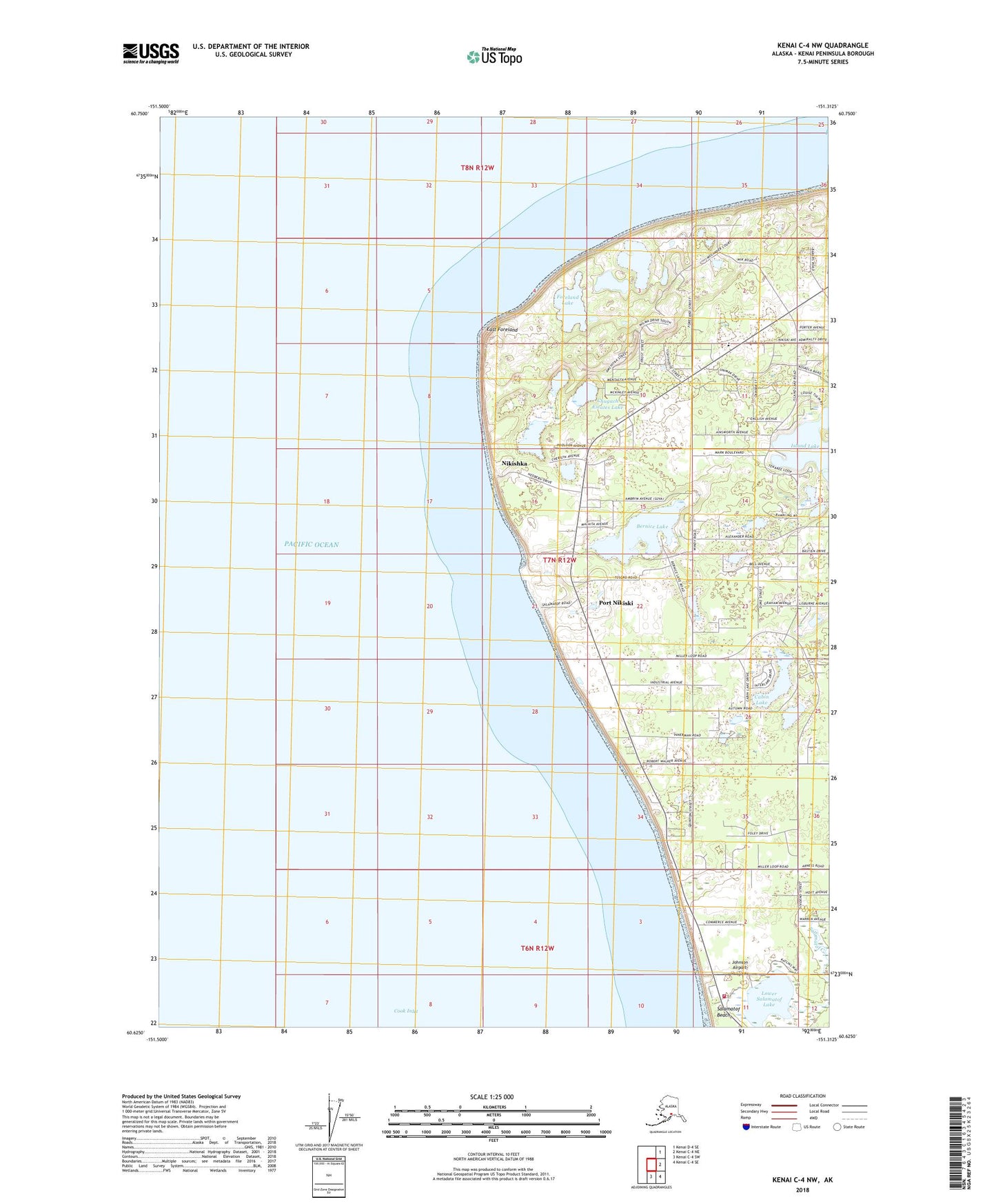
Kenai C-4 NW Alaska US Topo Map
Couldn't load pickup availability
2018 topographic map quadrangle Kenai C-4 NW in the state of Alaska. Scale: 1:25000. Print Size: 24" x 29"
Based on the newly updated USGS 7.5' US Topo series, this map has UTM / MGRS grids and is in the following counties: Kenai Peninsula.
The map contains contour data, water features, and other items you are used to seeing on U.S. Geological Survey maps, but also has updated roads and other features. This is the next generation of topographic maps. Printed on high-quality waterproof paper with UV fade-resistant inks.
Contains the following named places: Bernice Lake, Cabin Lake, East Foreland, East Foreland Lighthouse Reserve, Foreland Lake, Lower Salamatof Lake, Salamatof Beach, Port Nikiski, Johnson Airport, Nikishka, Nikishka Number Two, Nikiski Fire Department Station 1, Chugach Estates Lake