MyTopo
Ketchikan B-3 NW Alaska US Topo Map
Couldn't load pickup availability
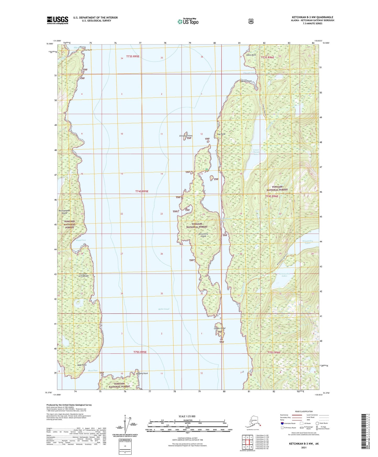
2021 topographic map quadrangle Ketchikan B-3 NW in the state of Alaska. Scale: 1:25000. Print Size: 24" x 29"
Based on the newly updated USGS 7.5' US Topo series, this map has UTM / MGRS grids and is in the following counties: Prince of Wales-Hyder (CA), Ketchikan Gateway.
The map contains contour data, water features, and other items you are used to seeing on U.S. Geological Survey maps, but also has updated roads and other features. This is the next generation of topographic maps. Printed on high-quality waterproof paper with UV fade-resistant inks.
Contains the following named places: Shoalwater Pass, Short Pass, Slag Point, Wasp Cove, Wasp Point, Winstanley Creek, Winstanley Island, Winstanley Island Cabin, Candle Island, Checats Cove, Checats Creek, Checats Point, Edith Point, Ella Creek, Ella Point, Entrance Island, Harding Point, Lower Checats Lake