MyTopo
Kiska C-2 NE Alaska US Topo Map
Couldn't load pickup availability
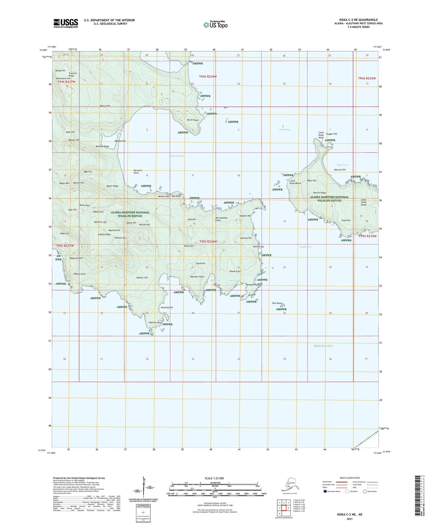
2021 topographic map quadrangle Kiska C-2 NE in the state of Alaska. Scale: 1:25000. Print Size: 24" x 29"
Based on the newly updated USGS 7.5' US Topo series, this map has UTM / MGRS grids and is in the following counties: Aleutians West (CA).
The map contains contour data, water features, and other items you are used to seeing on U.S. Geological Survey maps, but also has updated roads and other features. This is the next generation of topographic maps. Printed on high-quality waterproof paper with UV fade-resistant inks.
Contains the following named places: Amos Cove, Hammer Point, Harpoon Point, Hatchet Point, Kiska Harbor, Little Kiska Head, Little Kiska Island, Maiden Lake, Major Creek, Monsoon Lake, Moose Creek, Tiger Cove, Neck Lake, New Lakes, North Head, North Pass, Salmon Lagoon, Sargeant Cove, South Pass, Sub Point, Trout Lagoon, Twin Rocks, Yug Point, Andy Cove, Alfalfa Ridge, Barnacle Point, Bear Hill, Bubbling Brook, Cooper Creek, Fish Creek, Hatch Creek, Hood Hill, Hoosier Hill, Howard Hill, Howling Hill, Little Kiska Beach, Magic Mountain, Magician Creek, Magician Hill, Maiden Mountain, Major Ridge, Majority Creek, Malay Hill, Male Hill, Maniac Hill, Map Hill, Marble Hill, Mason Hill, Mastoid Hill, Mattress Hill, Max Hill, Menu Hill, Merchandise Peaks, Mercy Hill, Metal Hill, Meteor Hill, Middle Hill, Mike Creek, Mike Hill, Militia Hill, Milton Creek, Mimosa Hill, Minor Creek, Minute Hill, Mission Hill, Monkey Ridge, Monument Hill, Mucker Hill, Natural Hill, Newlin Ridge, Nugget Hill, Rainy Pass, Tropical Ridge, Whale Point, Japanese Occupation Site-Kiska Island


