MyTopo
Kiska D-2 SE Alaska US Topo Map
Couldn't load pickup availability
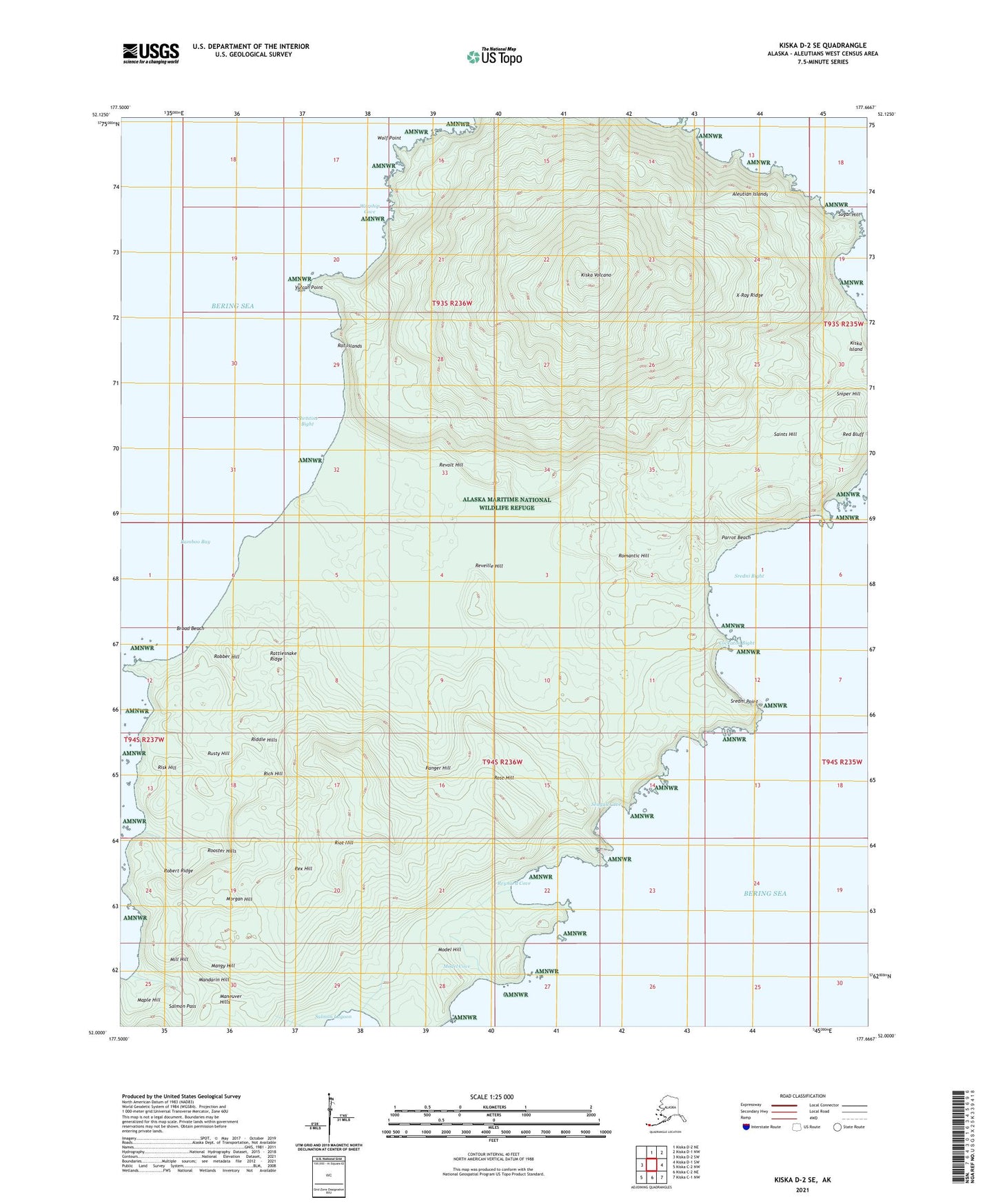
2021 topographic map quadrangle Kiska D-2 SE in the state of Alaska. Scale: 1:25000. Print Size: 24" x 29"
Based on the newly updated USGS 7.5' US Topo series, this map has UTM / MGRS grids and is in the following counties: Aleutians West (CA).
The map contains contour data, water features, and other items you are used to seeing on U.S. Geological Survey maps, but also has updated roads and other features. This is the next generation of topographic maps. Printed on high-quality waterproof paper with UV fade-resistant inks.
Contains the following named places: Christine Lake, East Kiska Lake, Kiska Volcano, Model Cove, Moron Lake, Rat Lake, Red Bluff, Reynard Cove, Robin Creek, Sredni Bight, Sredni Point, Vulcan Point, West Kiska Lake, Wolf Point, Bamboo Bay, Broad Beach, Christine Bight, Cockatoo Bight, Mandarin Hill, Maneuver Hills, Mangy Hill, Manila Creek, Maple Hill, Maylay Creek, Menace Creek, Middle Kiska Lake, Mill Hill, Model Creek, Model Hill, Morgan Hill, Parrot Beach, Raft Creek, Rag Lake, Rainbow Creek, Rake Lake, Random Creek, Ranger Hill, Rapid Creek, Rapid Lake, Rattlesnake Lake, Rattlesnake Ridge, Restless Lake, Reveille Hill, Revolt Hill, Rex Hill, Rich Creek, Rich Hill, Riddle Hills, Riddle Lake, Ring Lake, Riot Hill, Risk Hill, Robber Hill, Robber Lake, Robert Ridge, Rocket Lake, Romantic Hill, Rookie Lake, Rooster Hills, Rose Hill, Round Lake, Rusty Hill, Saints Hill, Salmon Pass, Seagull Cove, Sniper Hill, Sugar Hill, Worship Cove, X Creek, X-Ray Creek, X-Ray Ridge, X-Wave Creek


