MyTopo
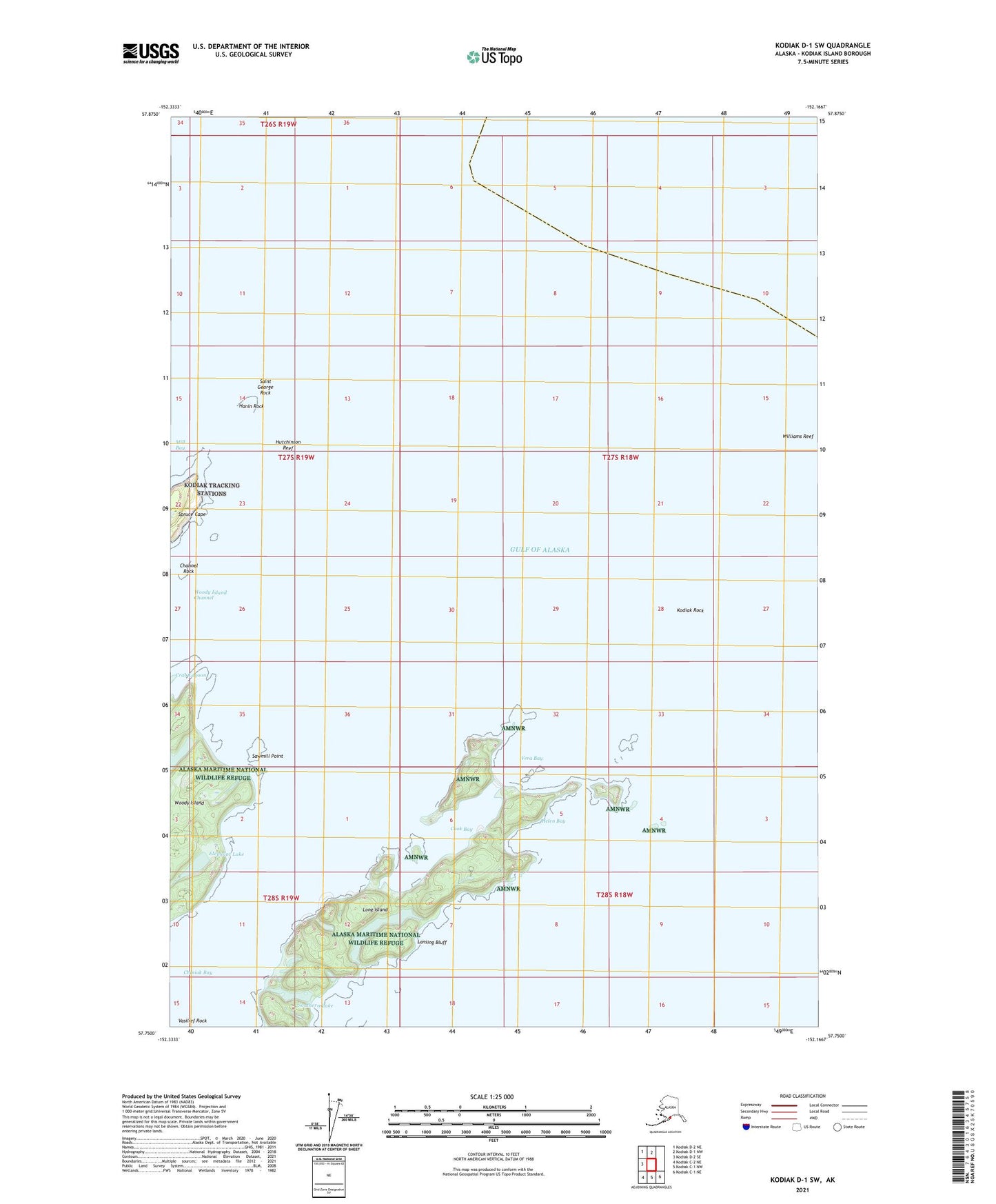
Kodiak D-1 SW Alaska US Topo Map
Couldn't load pickup availability
2021 topographic map quadrangle Kodiak D-1 SW in the state of Alaska. Scale: 1:25000. Print Size: 24" x 29"
Based on the newly updated USGS 7.5' US Topo series, this map has UTM / MGRS grids and is in the following counties: Kodiak Island.
The map contains contour data, water features, and other items you are used to seeing on U.S. Geological Survey maps, but also has updated roads and other features. This is the next generation of topographic maps. Printed on high-quality waterproof paper with UV fade-resistant inks.
Contains the following named places: Cook Bay, Dolgoi Lake, Elephant Lake, Hanin Rocks Light, Helen Bay, Hutchinson Reef, Kodiak Rock, Lansing Bluff, Long Island, Long Lake, Saint George Rock, Sawmill Point, Spruce Cape, Vasilief Rock, Vera Bay, Williams Reef, Woody Island, Crab Lagoon, Southern Lake, Hanin Rock, Woody Island, Channel Rock, Fort Tidball (historical)