MyTopo
Nome C-1 NW Alaska US Topo Map
Couldn't load pickup availability
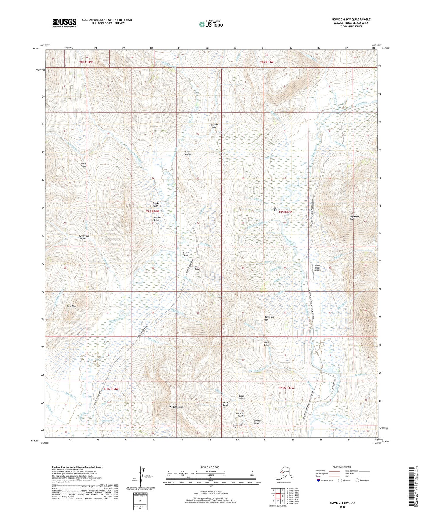
2017 topographic map quadrangle Nome C-1 NW in the state of Alaska. Scale: 1:25000. Print Size: 24" x 29"
Based on the newly updated USGS 7.5' US Topo series, this map has UTM / MGRS grids and is in the following counties: Nome (CA).
The map contains contour data, water features, and other items you are used to seeing on U.S. Geological Survey maps, but also has updated roads and other features. This is the next generation of topographic maps. Printed on high-quality waterproof paper with UV fade-resistant inks.
Contains the following named places: Abbe Gulch, Balto Creek, Bangor Creek, Banner Creek, Barr Creek, Basin Creek, Blatchford Creek, Borg Creek, Boulder Creek, Mount Brynteson, Burns Gulch, Butterfield Canyon, Canyon Creek, Cold Creek, Dewey Creek, Divining Creek, Eureka Gulch, Goldbottom Creek, Goodluck Gulch, Grouse Creek, Grub Gulch, Hatch Creek, Hazel Gulch, Hilda Creek, Hobson Creek, Ice Gulch, Irish Gulch, Iron Creek, Jorosa Creek, Last Chance Creek, Manila Creek, Mineral Creek, Miocene Ditch, North Fork Snake River, Pioneer Gulch, Prospect Creek, Richmond Gulch, Rudolph Creek, Sampson Creek, Scotch Gulch, Seattle Creek, Shepard Creek, Silver Creek, Slate Creek, Slate Creek, Sparkle Creek, Steep Creek, Trout Creek, Twin Mountain, Willow Creek, Engstrom Field, Engstrom Mountain, Covina Gulch, Dewey Creek, Gold Creek, Goose Creek, Hunter Creek, Left Fork Slate Creek, Madison Gulch, Magnolia Gulch, Paradise Camp, Ptarmigan Rock, Queen Creek, Right Fork Slate Creek, River, Slate Gulch, Warren, Windy Camp


