MyTopo
Sitka B-5 NW Alaska US Topo Map
Couldn't load pickup availability
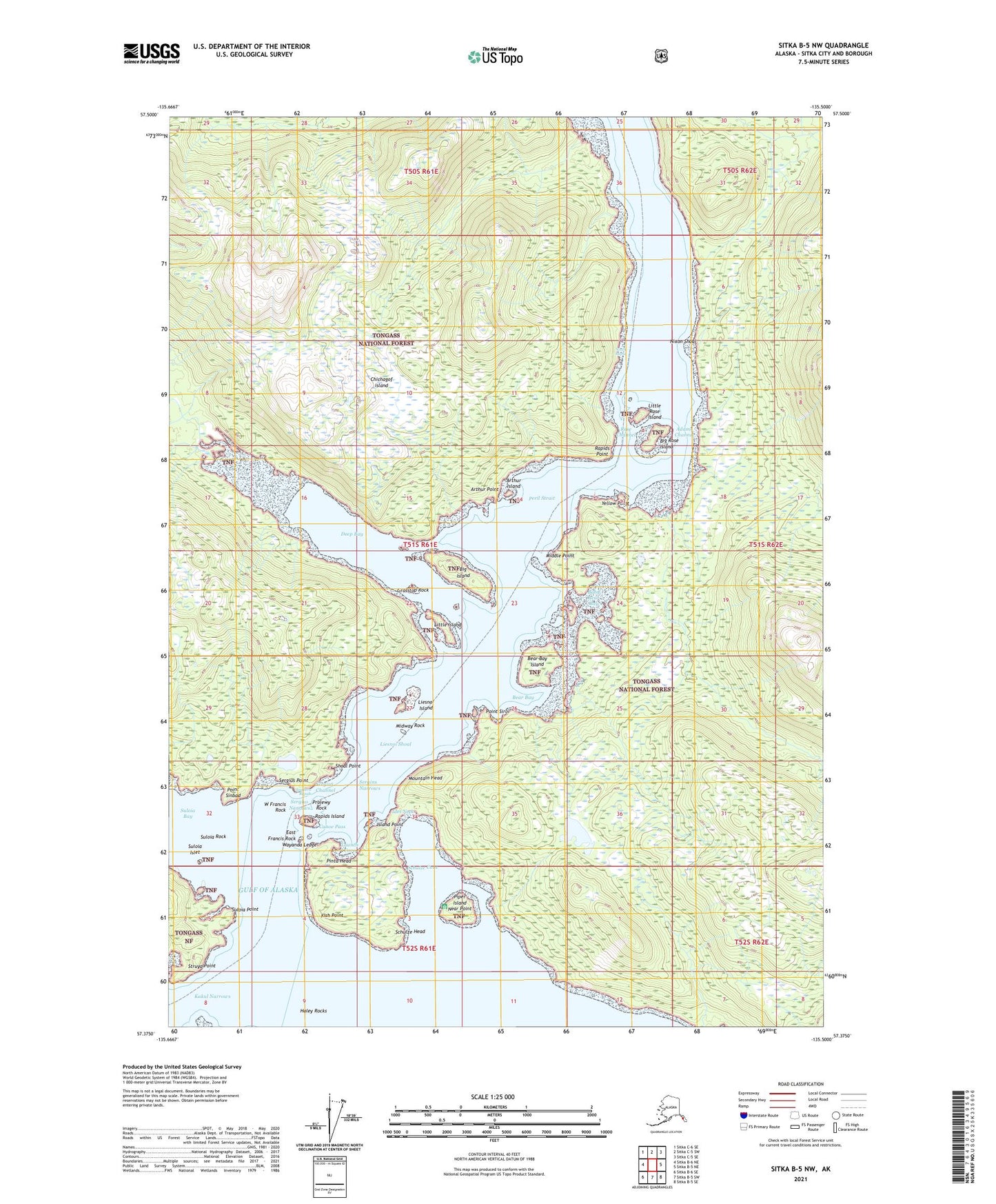
2021 topographic map quadrangle Sitka B-5 NW in the state of Alaska. Scale: 1:25000. Print Size: 24" x 29"
Based on the newly updated USGS 7.5' US Topo series, this map has UTM / MGRS grids and is in the following counties: Sitka.
The map contains contour data, water features, and other items you are used to seeing on U.S. Geological Survey maps, but also has updated roads and other features. This is the next generation of topographic maps. Printed on high-quality waterproof paper with UV fade-resistant inks.
Contains the following named places: Schulze Cove, Schulze Head, Sergins Narrows, Sergius Point, Shoal Point, Struya Point, Suloia Bay, Suloia Islet, Suloia Point, Suloia Rock, W Francis Rock, Yellow Point, Haley Rocks, Adams Channel, Arthur Island, Arthur Point, Bear Bay, Bear Bay Island, Big Rose Island, Canoe Pass, Deep Bay, E Francis Rock, Fish Point, Grasstop Rock, Ides Neck, Island Point, Launch Cove, Liesnoi Island, Liesnoi Shoal, Little Island, Little Rose Island, Middle Point, Midway Rock, Mountain Head, Near Point, Nixon Shoal, Pinta Head, Piper Island, Point Sinbad, Point Siroi, Range Creek, Rapids Island, Rapids Point, Rose Channel, Wayanda Ledge, Baby Bear Bay, Big Island, East Francis Rock, Little Rapids Island, North Rapid, Prolewy Rock, Sergius Channel, Sergius Narrows, Southern Rapids, Big Bear - Baby Bear State Marine Park


