MyTopo
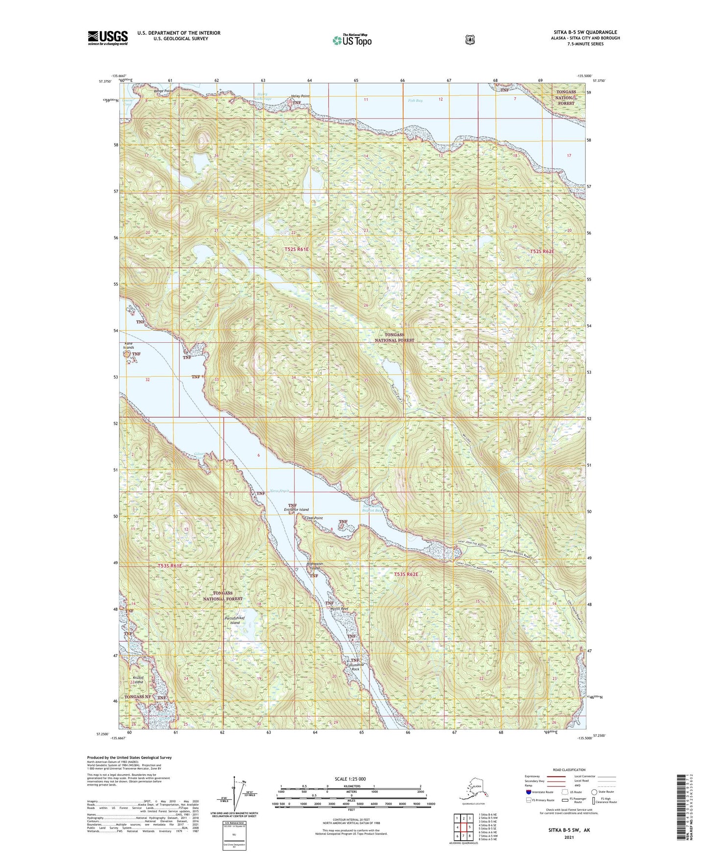
Sitka B-5 SW Alaska US Topo Map
Couldn't load pickup availability
2021 topographic map quadrangle Sitka B-5 SW in the state of Alaska. Scale: 1:25000. Print Size: 24" x 29"
Based on the newly updated USGS 7.5' US Topo series, this map has UTM / MGRS grids and is in the following counties: Sitka.
The map contains contour data, water features, and other items you are used to seeing on U.S. Geological Survey maps, but also has updated roads and other features. This is the next generation of topographic maps. Printed on high-quality waterproof paper with UV fade-resistant inks.
Contains the following named places: Zeal Point, Sukon Strait, Saint John Baptist Bay, Wyvill Reef, Columbine Rock, Entrance Island, Fish Bay, Gilmer Cove, Haley Anchorage, Haley Point, Highwater Island, Kane Islands, Krestof Sound, Neva Strait, Partofshikof Island, Range Point