MyTopo
Sitka D-8 SE Alaska US Topo Map
Couldn't load pickup availability
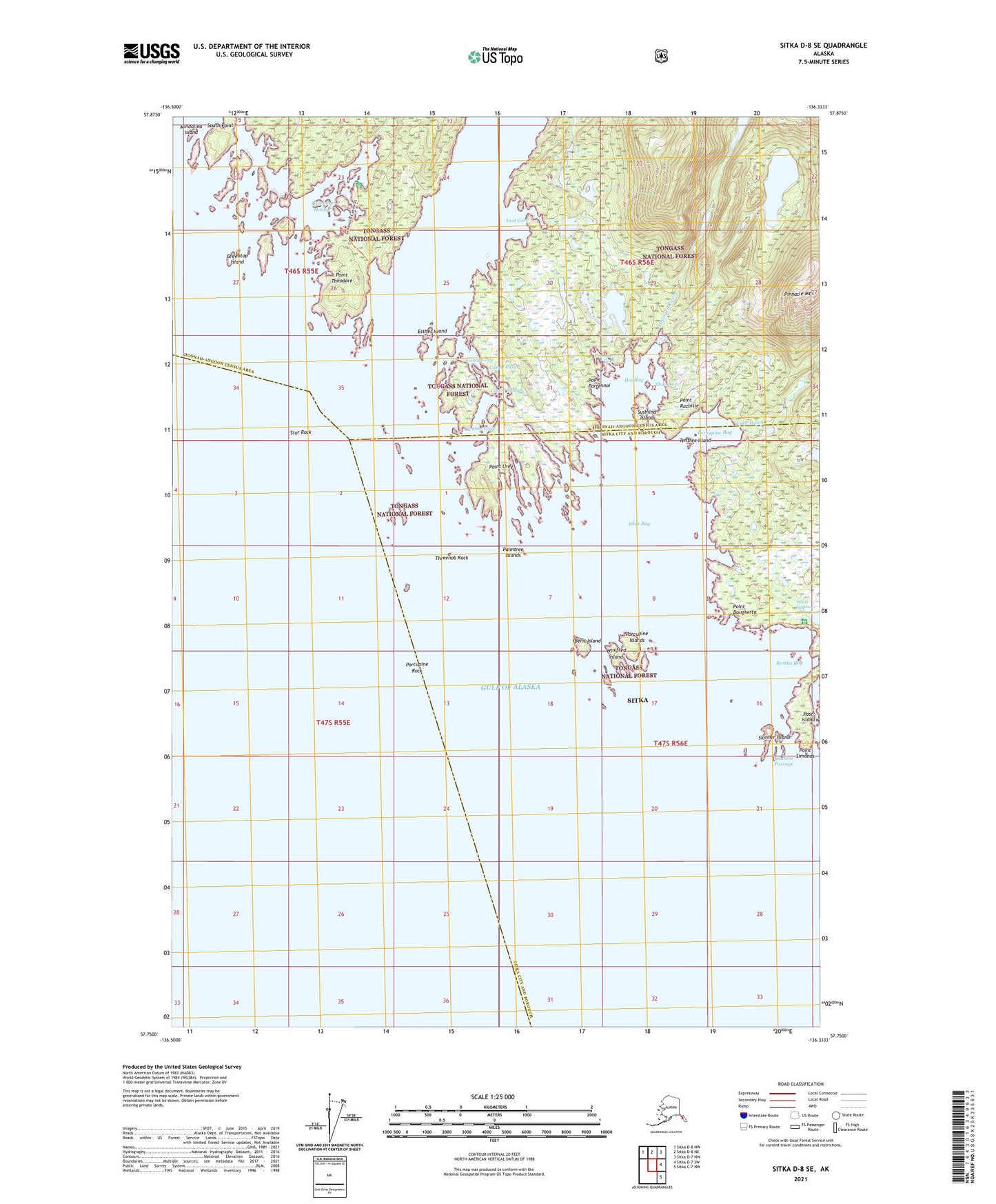
2021 topographic map quadrangle Sitka D-8 SE in the state of Alaska. Scale: 1:25000. Print Size: 24" x 29"
Based on the newly updated USGS 7.5' US Topo series, this map has UTM / MGRS grids and is in the following counties: Sitka, Hoonah-Angoon (CA).
The map contains contour data, water features, and other items you are used to seeing on U.S. Geological Survey maps, but also has updated roads and other features. This is the next generation of topographic maps. Printed on high-quality waterproof paper with UV fade-resistant inks.
Contains the following named places: Greentop Harbor, Mindalina Island, Skinner Island, Star Rock, Stranger River, Sushilna Island, Tentree Island, Threenob Rock, Urey Rocks, White Sulphur Springs, Winifred Island, Zhilo Cove, White Sulphur Springs Cabin, Green Top Cabin, Beric Island, Bertha Bay, Canoe Pass, Caution Passage, Constantine Cove, Esther Island, Lake Helen, Ilin Bay, Islas Bay, Lost Cove, Lumber Cove, Palmtree Islands, Point Dougherty, Point Partennoi, Point Razbitie, Point Simonds, Point Theodore, Point Urey, Porcupine Bay, Porcupine Islands, Porcupine River, Porcupine Rock, Post Island, Canoe Cove, Canoe Slough, Greentop Island, South Point, Wild Rice Lake


