MyTopo
Solomon C-5 NW Alaska US Topo Map
Couldn't load pickup availability
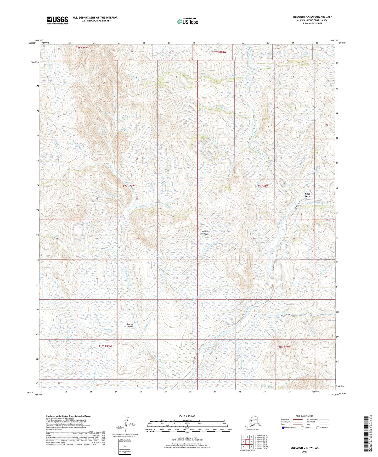
2017 topographic map quadrangle Solomon C-5 NW in the state of Alaska. Scale: 1:25000. Print Size: 24" x 29"
Based on the newly updated USGS 7.5' US Topo series, this map has UTM / MGRS grids and is in the following counties: Nome (CA).
The map contains contour data, water features, and other items you are used to seeing on U.S. Geological Survey maps, but also has updated roads and other features. This is the next generation of topographic maps. Printed on high-quality waterproof paper with UV fade-resistant inks.
Contains the following named places: Adams Creek, Ball Creek, Big Hurrah Creek, Boston Creek, Butte Creek, Cadillac Creek, Cheyenne Creek, Coal Creek, Coarse Gold Creek, Davison Gulch, Doverspike Creek, East Fork, East Fork Solomon River, Fish Creek, Fox Creek, Harlem Creek, Johns Creek, Jones Creek, Kasson Creek, Linda Vista Creek, Lost Creek, Minnesota Creek, Mystery Creek, Nobhill Creek, Oro Fino Creek, Penny Creek, Problem Creek, Puzzle Creek, Quartz Creek, Quigleys Camp, Rock Creek, Shovel Creek, South Fork, Sweetbrier Creek, Topnotch Creek, Trilby Creek, Victoria Creek, Vinegar Creek, Virginia Creek, West Creek, Willow Creek, Winston Creek, Bear Creek, Emerald Creek, George Creek, Lone Creek, Meddler Creek, Mile Creek, Sapphire Creek, South Fork Butte Creek


