MyTopo
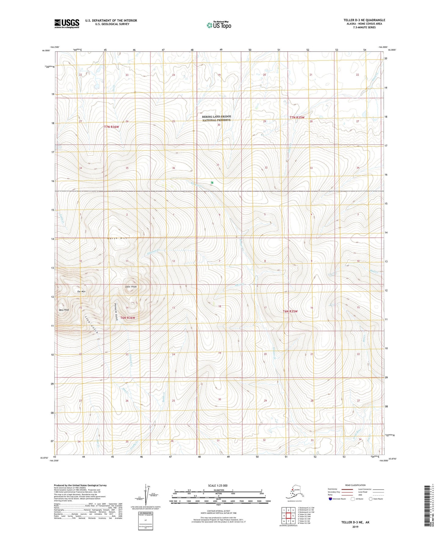
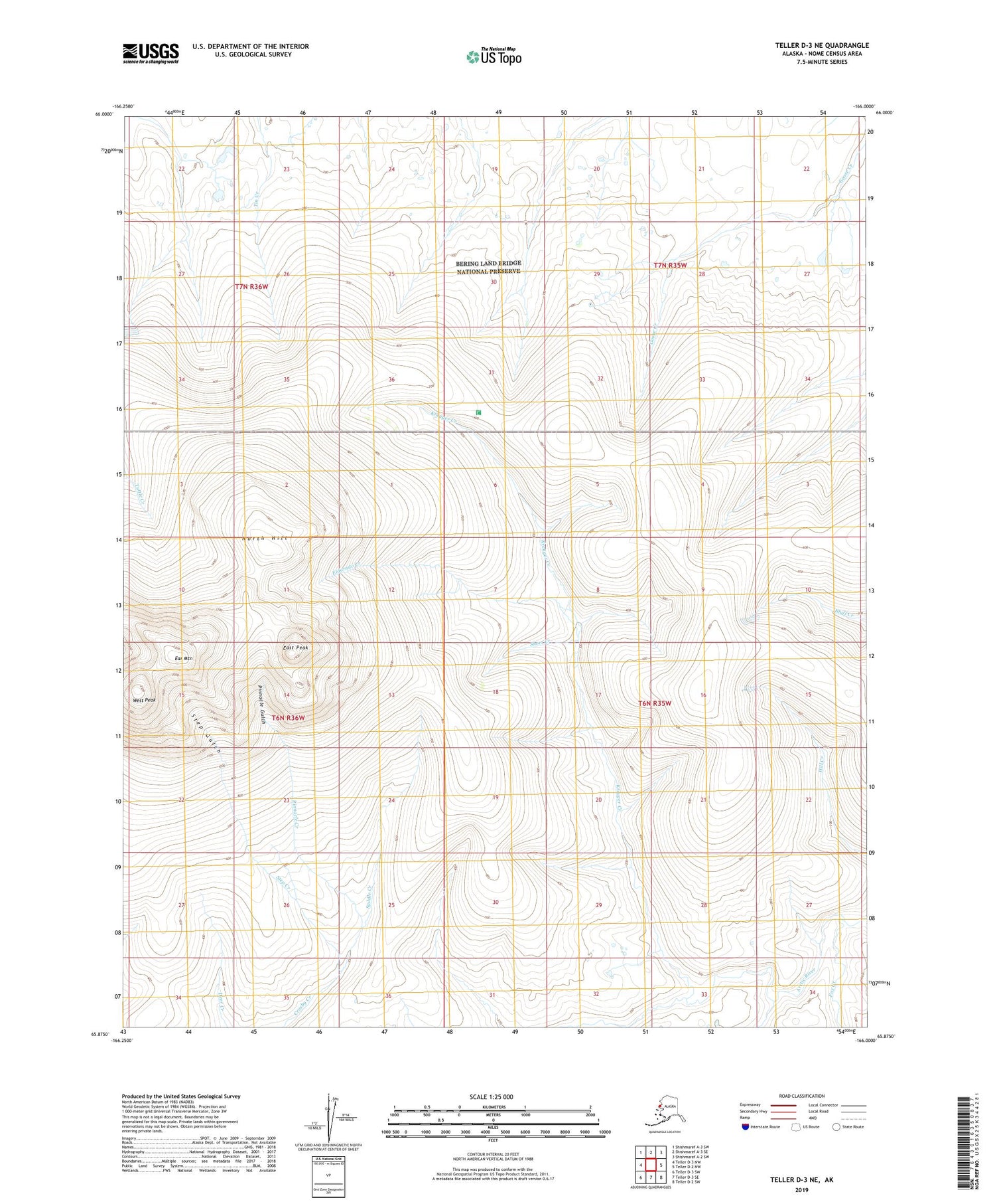
Teller D-3 NE Alaska US Topo Map
Couldn't load pickup availability
2019 topographic map quadrangle Teller D-3 NE in the state of Alaska. Scale: 1:25000. Print Size: 24" x 29"
Based on the newly updated USGS 7.5' US Topo series, this map has UTM / MGRS grids and is in the following counties: Nome (CA).
The map contains contour data, water features, and other items you are used to seeing on U.S. Geological Survey maps, but also has updated roads and other features. This is the next generation of topographic maps. Printed on high-quality waterproof paper with UV fade-resistant inks.
Contains the following named places: Ear Mountain, East Peak, Eldorado Creek, Fox Creek, Kreuger Creek, North Hill, Pinnacle Creek, Pinnacle Gulch, Saddle Creek, Short Creek, Step Creek, Step Gulch, West Peak, Middle Fork Eldorado Creek, South Fork Eldorado Creek, Cabin Gully, Ear Mountain Landing Strip, Ears Peak, The Ears, Shaft Gully