MyTopo
Unalaska C-2 NW Alaska US Topo Map
Couldn't load pickup availability
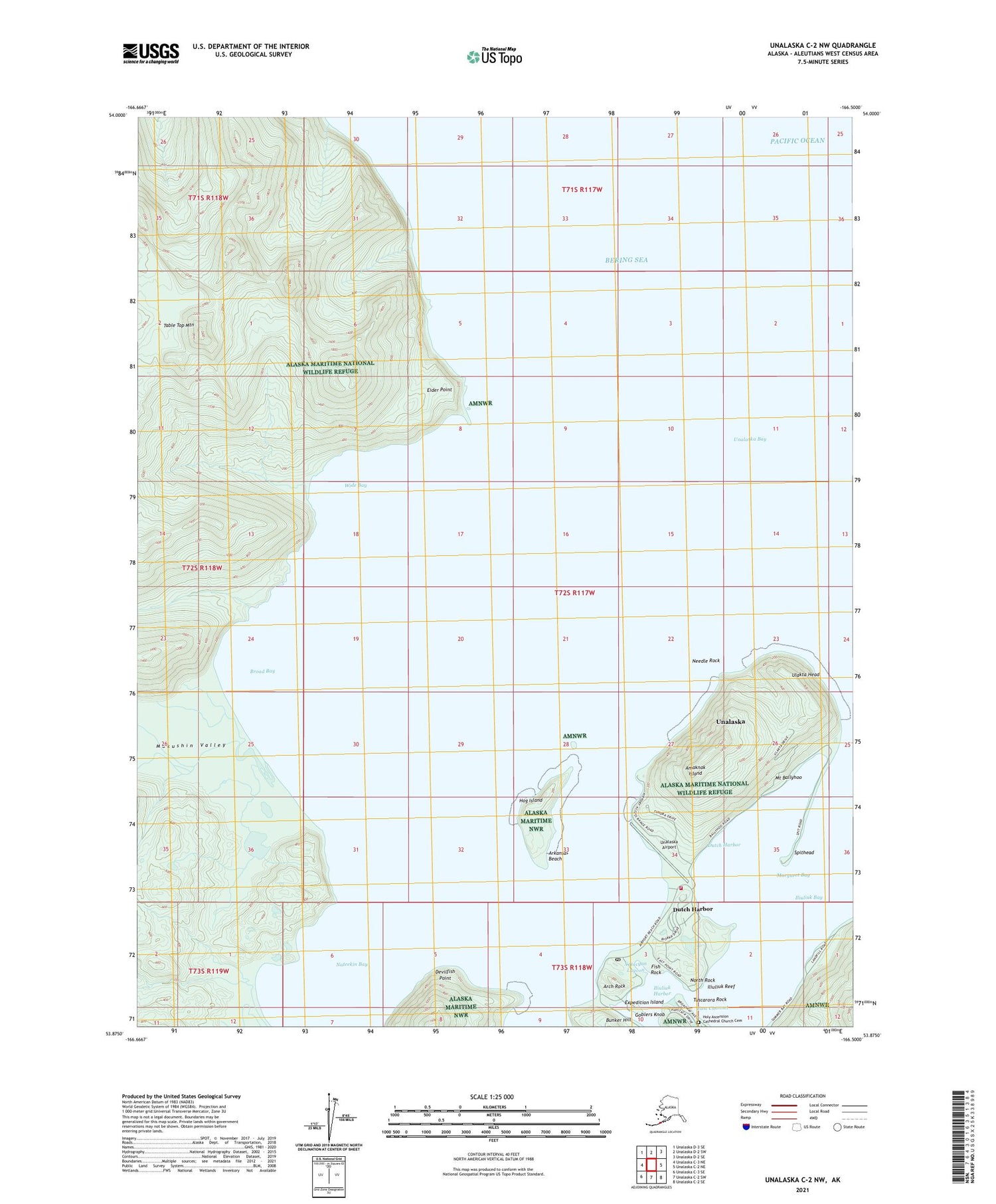
2021 topographic map quadrangle Unalaska C-2 NW in the state of Alaska. Scale: 1:25000. Print Size: 24" x 29"
Based on the newly updated USGS 7.5' US Topo series, this map has UTM / MGRS grids and is in the following counties: Aleutians West (CA).
The map contains contour data, water features, and other items you are used to seeing on U.S. Geological Survey maps, but also has updated roads and other features. This is the next generation of topographic maps. Printed on high-quality waterproof paper with UV fade-resistant inks.
Contains the following named places: Unalaska Airport, Amaknak Island, Broad Bay, Devilfish Point, Dutch Harbor, Eider Point, Hog Island, Iliuliuk Bay, Makushin Valley, Nateekin Bay, Needle Rock, Table Top Mountain, Ulakta Head, Wide Bay, Margaret Bay, Dutch Harbor, Mount Ballyhoo, Arch Rock, Arkansas Beach, Unalaska Bay, East Channel, Expedition Island, Fish Rock, Iliuliuk Harbor, Iliuliuk Reef, North Rock, Spithead, Tuscarora Rock, Uknodok (historical), Xatacyan Lagoon, Fort Mears (historical), Bunker Hill, Goblers Knob, City of Unalaska, Fort Learnard (historical), Fort Schwatka (historical), Church of the Holy Ascension, Dutch Harbor Naval Operating Base (historical), Sitka Spruce Plantation, The Museum of the Aleutians, Guardian Flight - Air Ambulance, Dutch Harbor Post Office, Holy Ascension Cathedral Church Cemetery


