MyTopo
Cedar Tree Bench Arizona US Topo Map
Couldn't load pickup availability
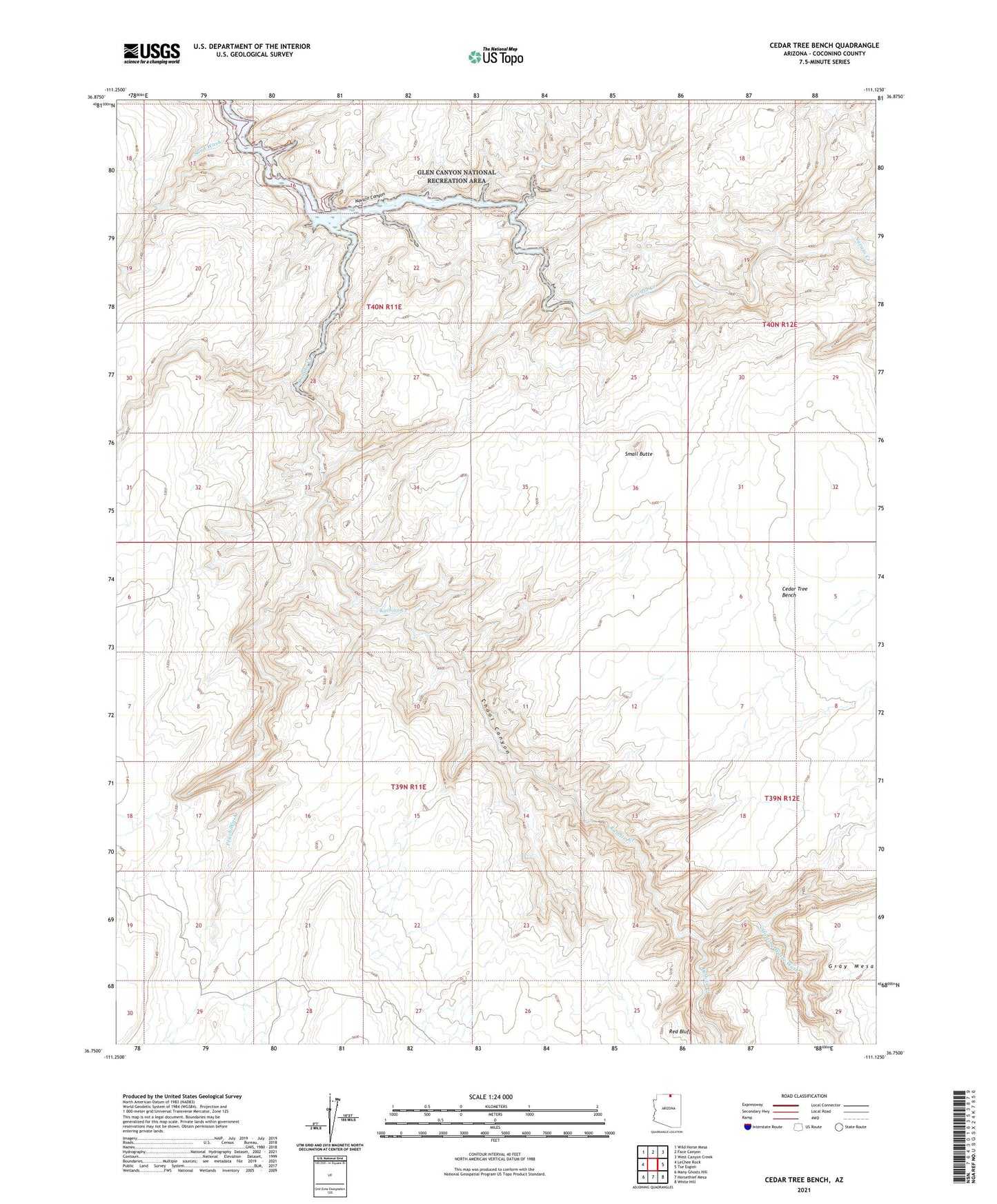
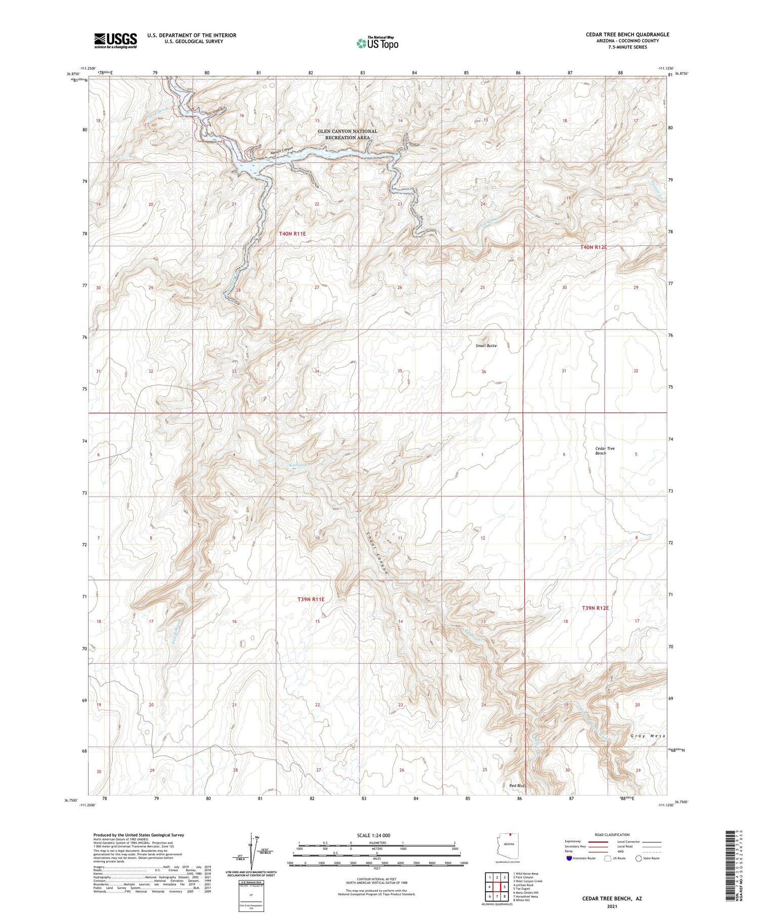
2021 topographic map quadrangle Cedar Tree Bench in the state of Arizona. Scale: 1:24000. Based on the newly updated USGS 7.5' US Topo map series, this map is in the following counties: Coconino. The map contains contour data, water features, and other items you are used to seeing on USGS maps, but also has updated roads and other features. This is the next generation of topographic maps. Printed on high-quality waterproof paper with UV fade-resistant inks.
Quads adjacent to this one:
West: LeChee Rock
Northwest: Wild Horse Mesa
North: Face Canyon
Northeast: West Canyon Creek
East: Tse Esgizii
Southeast: White Hill
South: Horsethief Mesa
Southwest: Many Ghosts Hill
This map covers the same area as the classic USGS quad with code o36111g2.
Contains the following named places: Cedar Tree Bench, Chaol Canyon, Kaibito Creek, Peach Wash, Sand Wash, Small Butte, Starting Water Wash