MyTopo
Church Rock Arizona US Topo Map
Couldn't load pickup availability
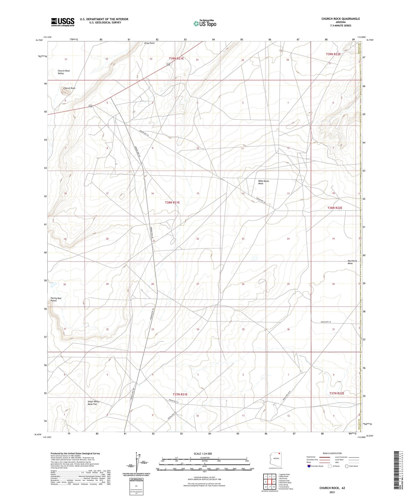
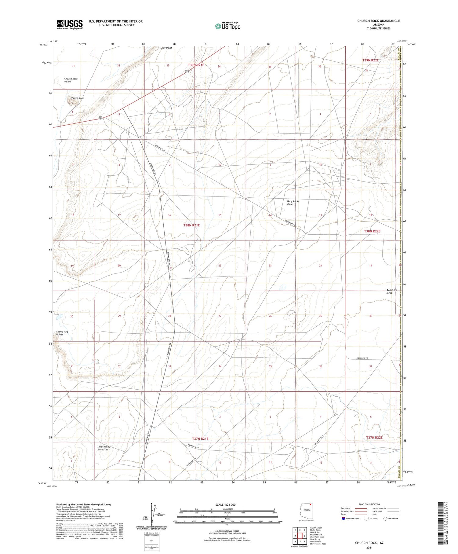
2021 topographic map quadrangle Church Rock in the state of Arizona. Scale: 1:24000. Based on the newly updated USGS 7.5' US Topo map series, this map is in the following counties: Navajo, Apache. The map contains contour data, water features, and other items you are used to seeing on USGS maps, but also has updated roads and other features. This is the next generation of topographic maps. Printed on high-quality waterproof paper with UV fade-resistant inks.
Quads adjacent to this one:
West: Kayenta East
Northwest: Agathla Peak
North: Baby Rocks
Northeast: Red Point
East: Red Point Mesa
Southeast: Sweetwater Mesa
South: Chilchinbito
Southwest: Owl Spring
This map covers the same area as the classic USGS quad with code o36110f1.
Contains the following named places: Baby Rocks Mesa, Church Rock, Church Rock Valley, Facing Red Points