MyTopo
Dike Tank Arizona US Topo Map
Couldn't load pickup availability
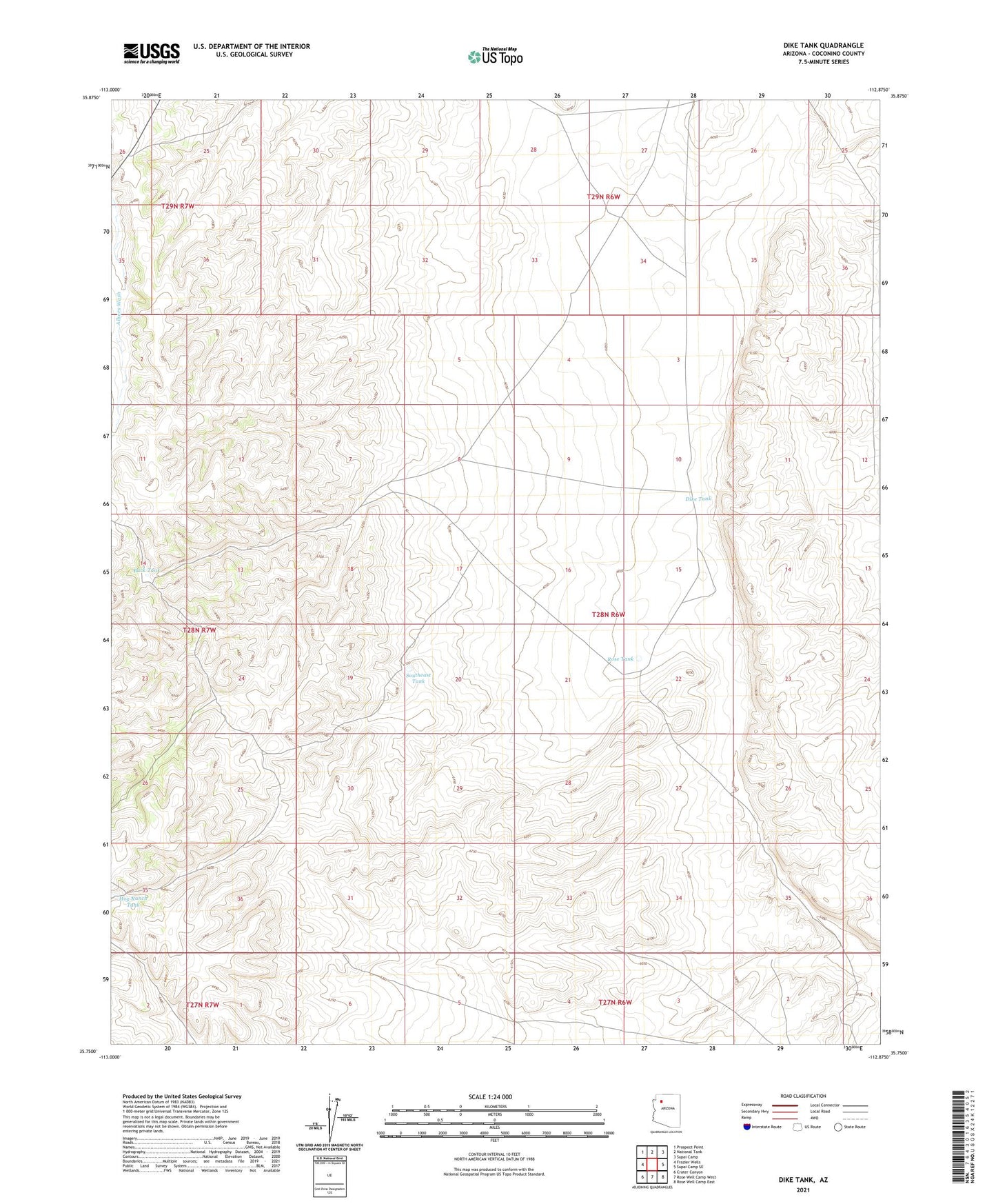
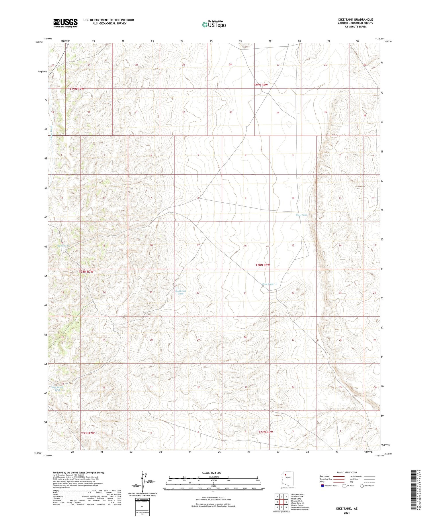
2021 topographic map quadrangle Dike Tank in the state of Arizona. Scale: 1:24000. Based on the newly updated USGS 7.5' US Topo map series, this map is in the following counties: Coconino. The map contains contour data, water features, and other items you are used to seeing on USGS maps, but also has updated roads and other features. This is the next generation of topographic maps. Printed on high-quality waterproof paper with UV fade-resistant inks.
Quads adjacent to this one:
West: Frazier Wells
Northwest: Prospect Point
North: National Tank
Northeast: Supai Camp
East: Supai Camp SE
Southeast: Rose Well Camp East
South: Rose Well Camp West
Southwest: Crater Canyon
This map covers the same area as the classic USGS quad with code o35112g8.
Contains the following named places: Buck Tank, Dike Tank, Hog Ranch Tank, Rose Tank, Southeast Tank