MyTopo
Garces Mesas NE Arizona US Topo Map
Couldn't load pickup availability
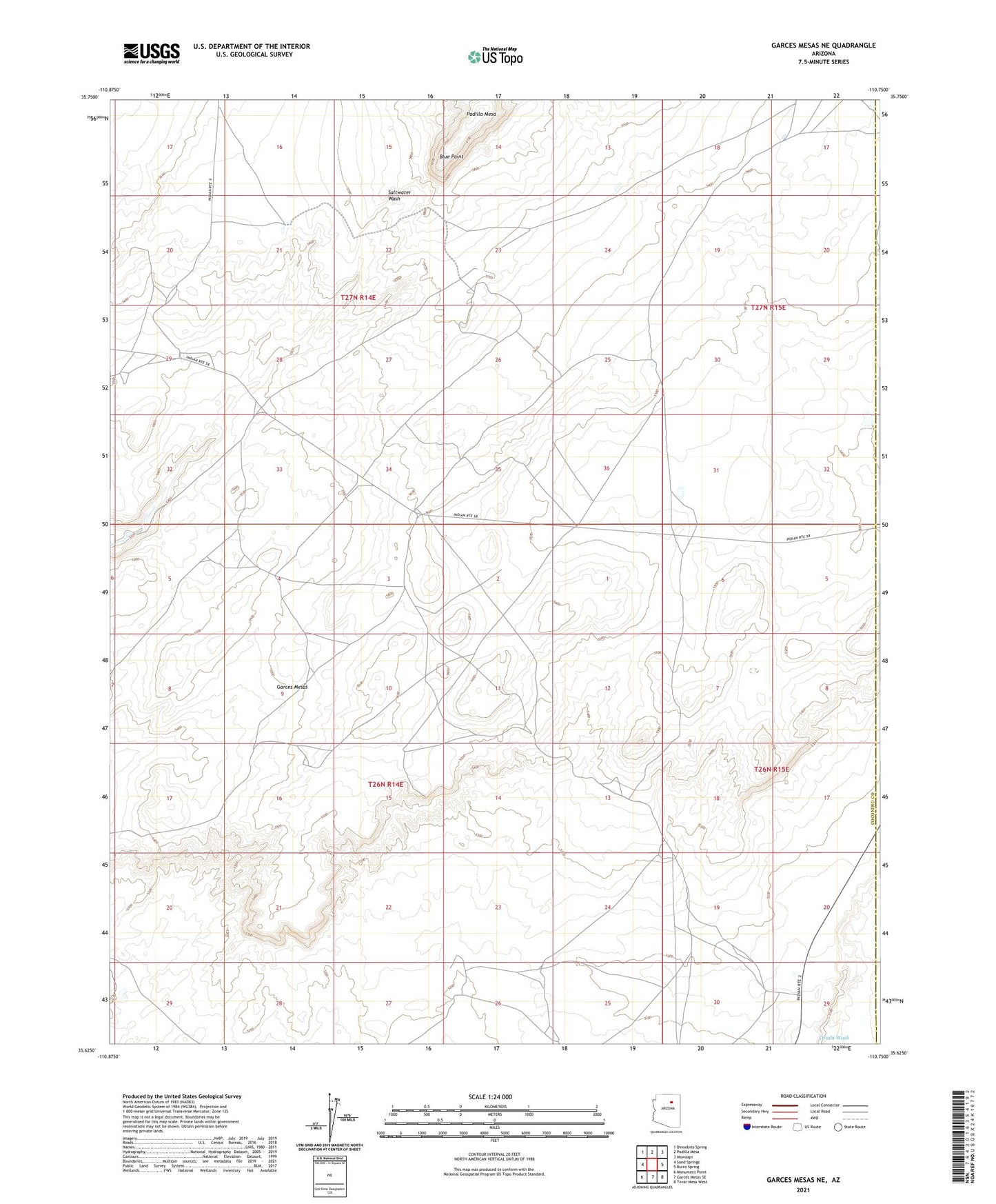
2021 topographic map quadrangle Garces Mesas NE in the state of Arizona. Scale: 1:24000. Based on the newly updated USGS 7.5' US Topo map series, this map is in the following counties: Coconino, Navajo. The map contains contour data, water features, and other items you are used to seeing on USGS maps, but also has updated roads and other features. This is the next generation of topographic maps. Printed on high-quality waterproof paper with UV fade-resistant inks.
Quads adjacent to this one:
West: Sand Springs
Northwest: Dinnebito Spring
North: Padilla Mesa
Northeast: Mowaapi
East: Burro Spring
Southeast: Tovar Mesa West
South: Garces Mesas SE
Southwest: Monument Point
This map covers the same area as the classic USGS quad with code o35110f7.
Contains the following named places: Blue Point, Redrock Spring Well, RU553, Salt Well, Shonto District, Sweet Water Well