MyTopo
Grand Canyon Caverns Arizona US Topo Map
Couldn't load pickup availability
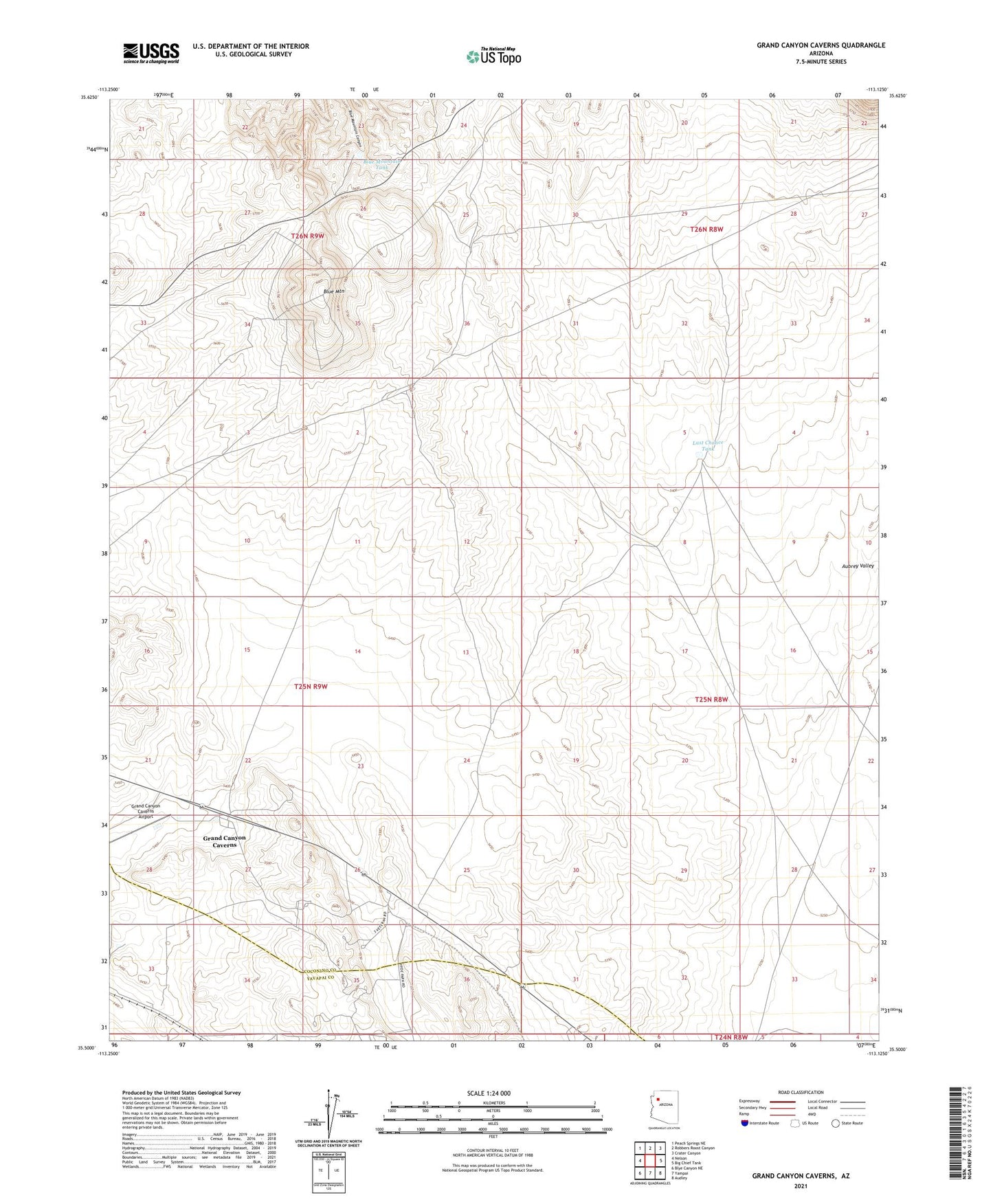
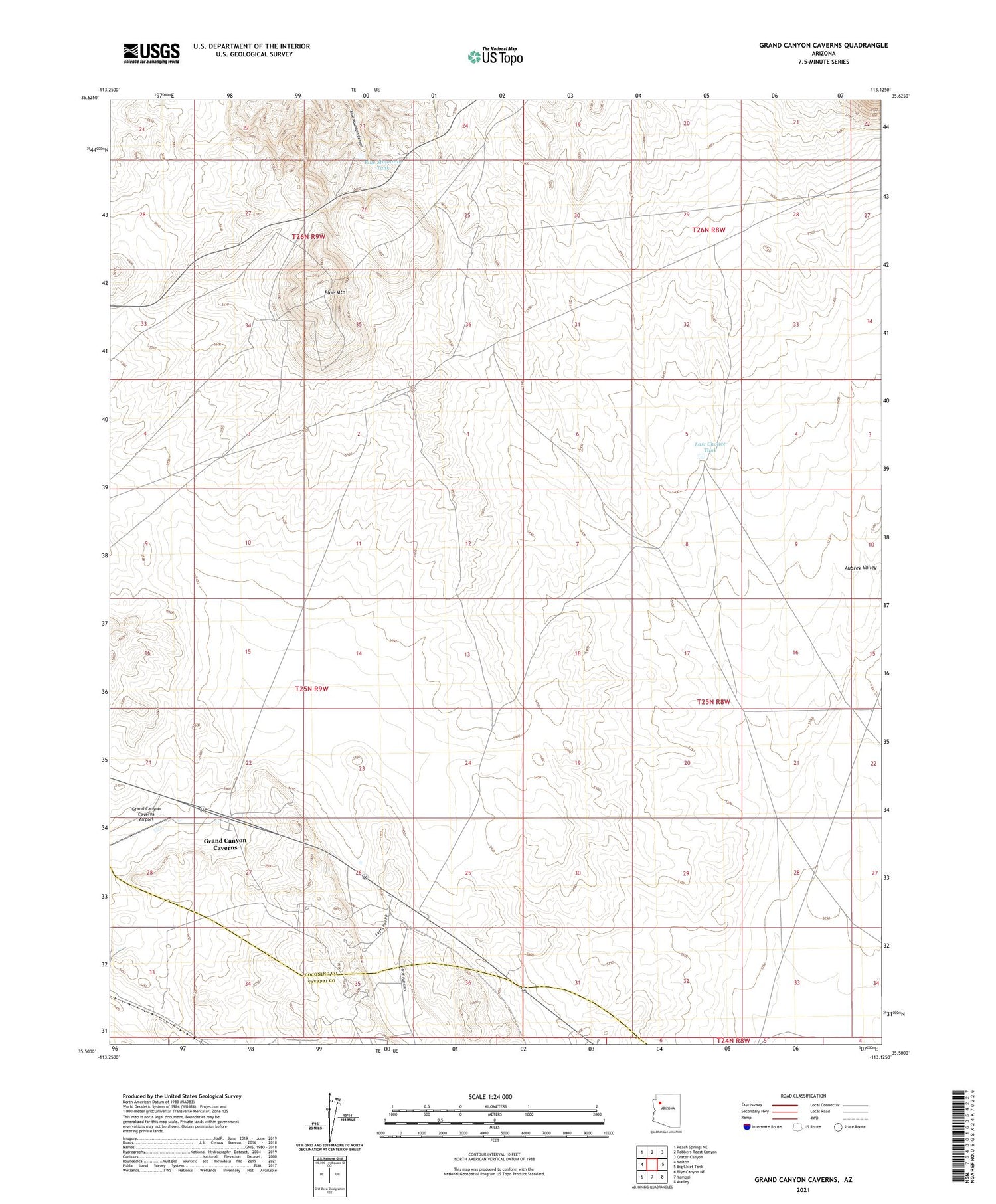
2021 topographic map quadrangle Grand Canyon Caverns in the state of Arizona. Scale: 1:24000. Based on the newly updated USGS 7.5' US Topo map series, this map is in the following counties: Coconino, Yavapai. The map contains contour data, water features, and other items you are used to seeing on USGS maps, but also has updated roads and other features. This is the next generation of topographic maps. Printed on high-quality waterproof paper with UV fade-resistant inks.
Quads adjacent to this one:
West: Nelson
Northwest: Peach Springs NE
North: Robbers Roost Canyon
Northeast: Crater Canyon
East: Big Chief Tank
Southeast: Audley
South: Yampai
Southwest: Blye Canyon NE
This map covers the same area as the classic USGS quad with code o35113e2.
Contains the following named places: Blue Mountain, Blue Mountain Tank, Deer Lodge, Grand Canyon Caverns, Grand Canyon Caverns Airport, Hyde Park, Last Chance Tank