MyTopo
Grapevine Canyon Arizona US Topo Map
Couldn't load pickup availability
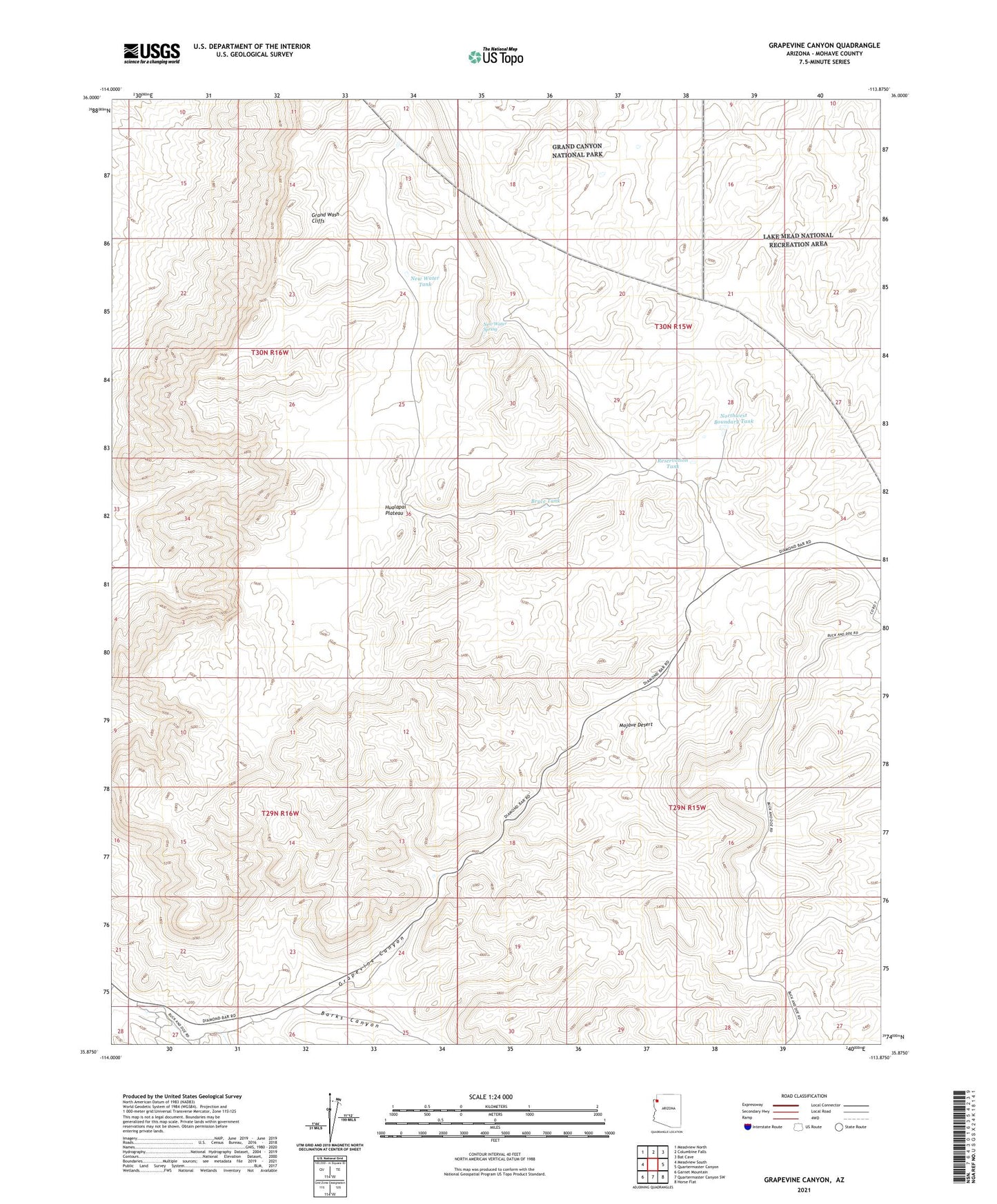
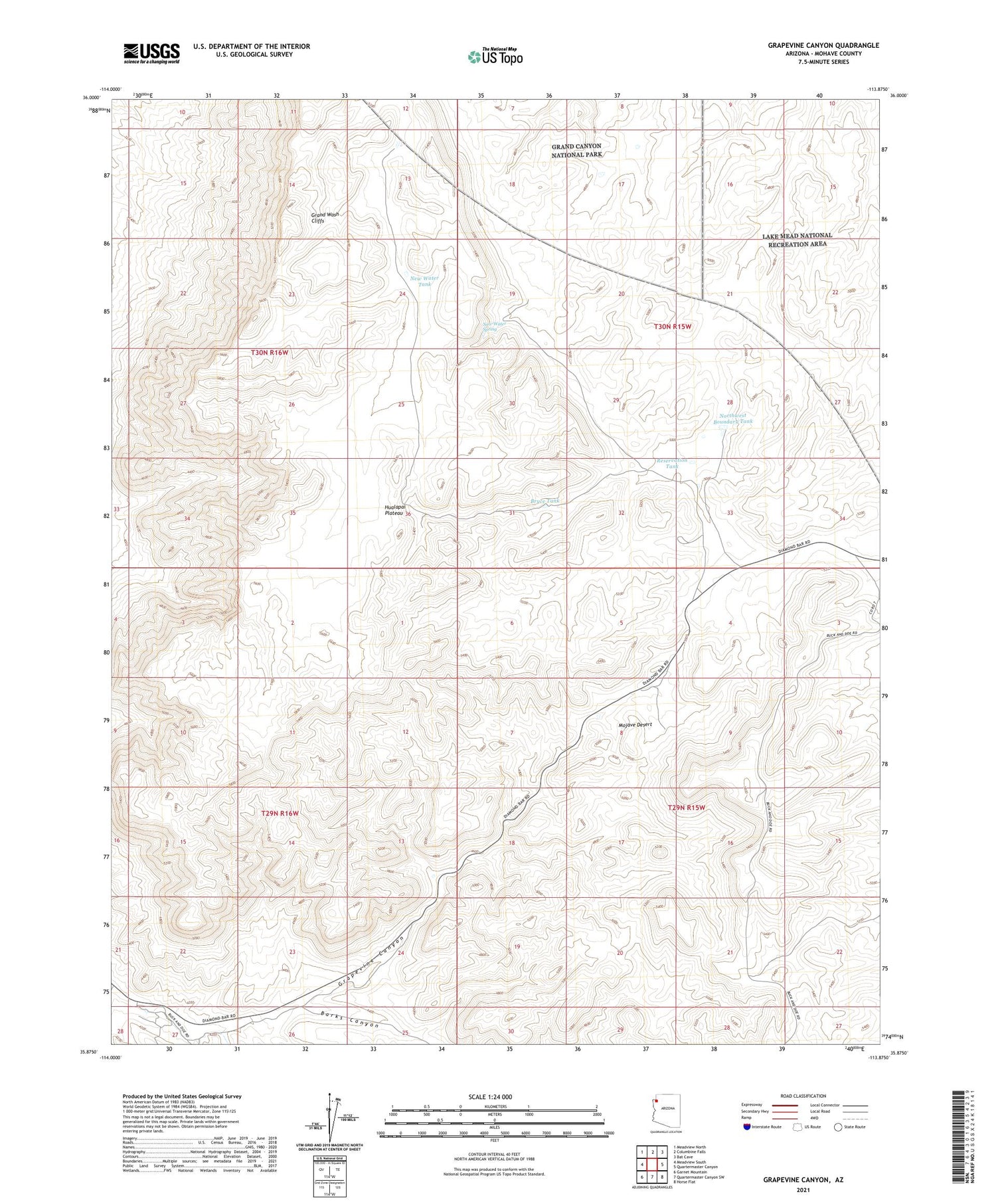
2021 topographic map quadrangle Grapevine Canyon in the state of Arizona. Scale: 1:24000. Based on the newly updated USGS 7.5' US Topo map series, this map is in the following counties: Mohave. The map contains contour data, water features, and other items you are used to seeing on USGS maps, but also has updated roads and other features. This is the next generation of topographic maps. Printed on high-quality waterproof paper with UV fade-resistant inks.
Quads adjacent to this one:
West: Meadview South
Northwest: Meadview North
North: Columbine Falls
Northeast: Bat Cave
East: Quartermaster Canyon
Southeast: Horse Flat
South: Quartermaster Canyon SW
Southwest: Garnet Mountain
This map covers the same area as the classic USGS quad with code o35113h8.
Contains the following named places: Barks Canyon, Bryce Tank, Diamond Bar Ranch, Grand Wash Cliffs, Grapevine Canyon, Hualapai Valley Joshua Trees, Iron Spring Wash, New Water Spring, New Water Tank, Northwest Boundary Tank, Reservation Tank