MyTopo
Greasewood Spring Arizona US Topo Map
Couldn't load pickup availability
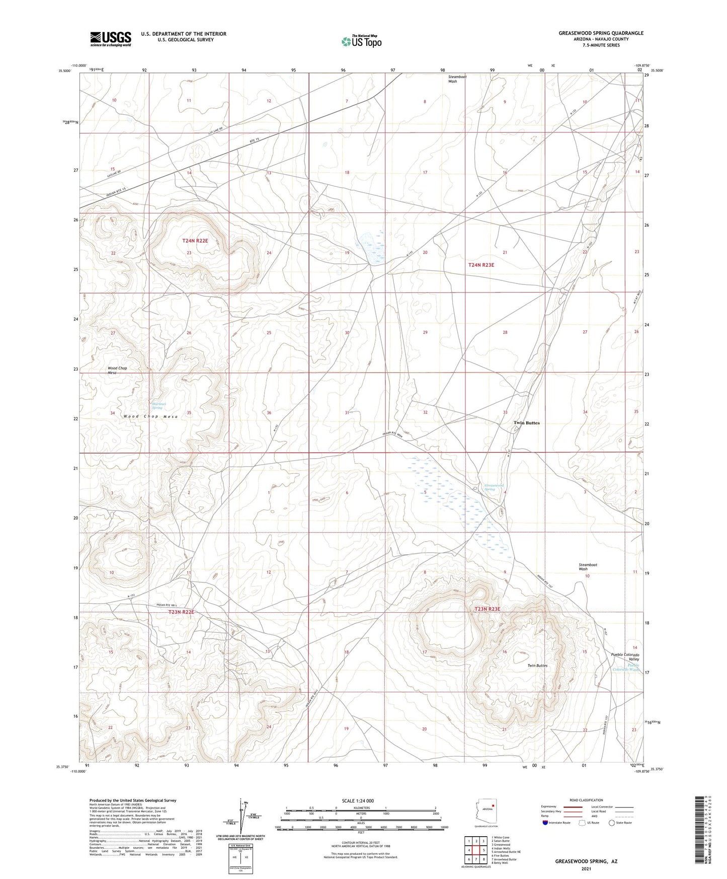
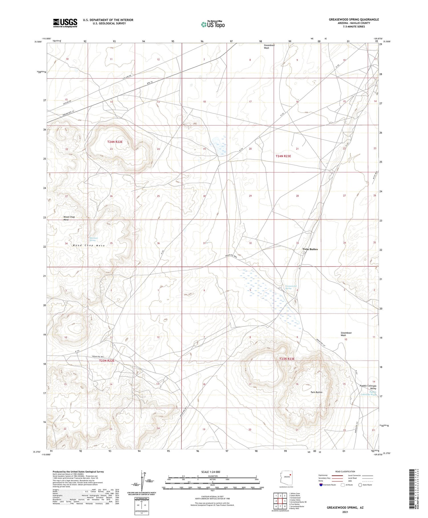
2021 topographic map quadrangle Greasewood Spring in the state of Arizona. Scale: 1:24000. Based on the newly updated USGS 7.5' US Topo map series, this map is in the following counties: Navajo. The map contains contour data, water features, and other items you are used to seeing on USGS maps, but also has updated roads and other features. This is the next generation of topographic maps. Printed on high-quality waterproof paper with UV fade-resistant inks.
Quads adjacent to this one:
West: Indian Wells
Northwest: White Cone
North: Satan Butte
Northeast: Greasewood
East: Arrowhead Butte NE
Southeast: Betty Well
South: Arrowhead Butte
Southwest: Five Buttes
This map covers the same area as the classic USGS quad with code o35109d8.
Contains the following named places: Greasewood Chapter, Greasewood Spring, Martinez Spring, Mennonite Mission School, Steamboat Wash, Twin Buttes