MyTopo
Mesa Parada Arizona US Topo Map
Couldn't load pickup availability
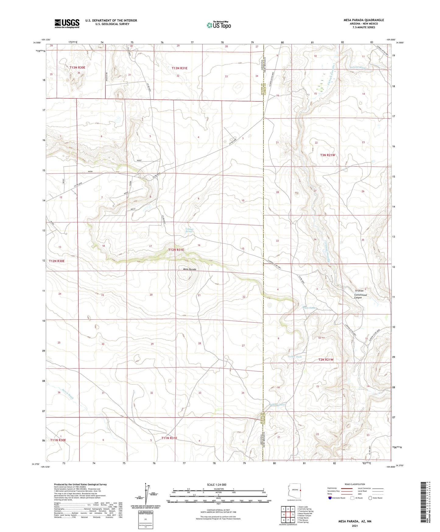
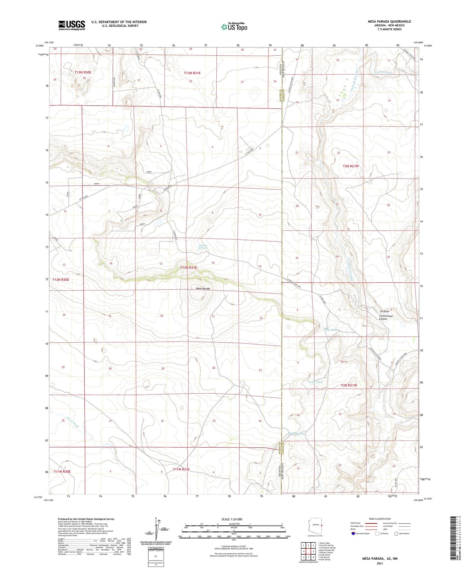
2021 topographic map quadrangle Mesa Parada in the states of Arizona, New Mexico. Scale: 1:24000. Based on the newly updated USGS 7.5' US Topo map series, this map is in the following counties: Apache, Catron. The map contains contour data, water features, and other items you are used to seeing on USGS maps, but also has updated roads and other features. This is the next generation of topographic maps. Printed on high-quality waterproof paper with UV fade-resistant inks.
Quads adjacent to this one:
West: Mesa Parada NW
Northwest: Kearn Lake
North: Carrisito Spring
Northeast: Twentytwo Spring
East: Salazar Canyon
Southeast: Goat Spring
South: The Rincon
Southwest: Voigt Ranch
Contains the following named places: Chavez Well, Cienega Amarilla, Cottonwood Canyon, Gallegos Springs, Gallegos Well, Kelhnne Tank, La Draw, Little Electric Well, Mayes Wash, Mesa Parada, Tucker Tank, White Tank