MyTopo
Red Pockets Arizona US Topo Map
Couldn't load pickup availability
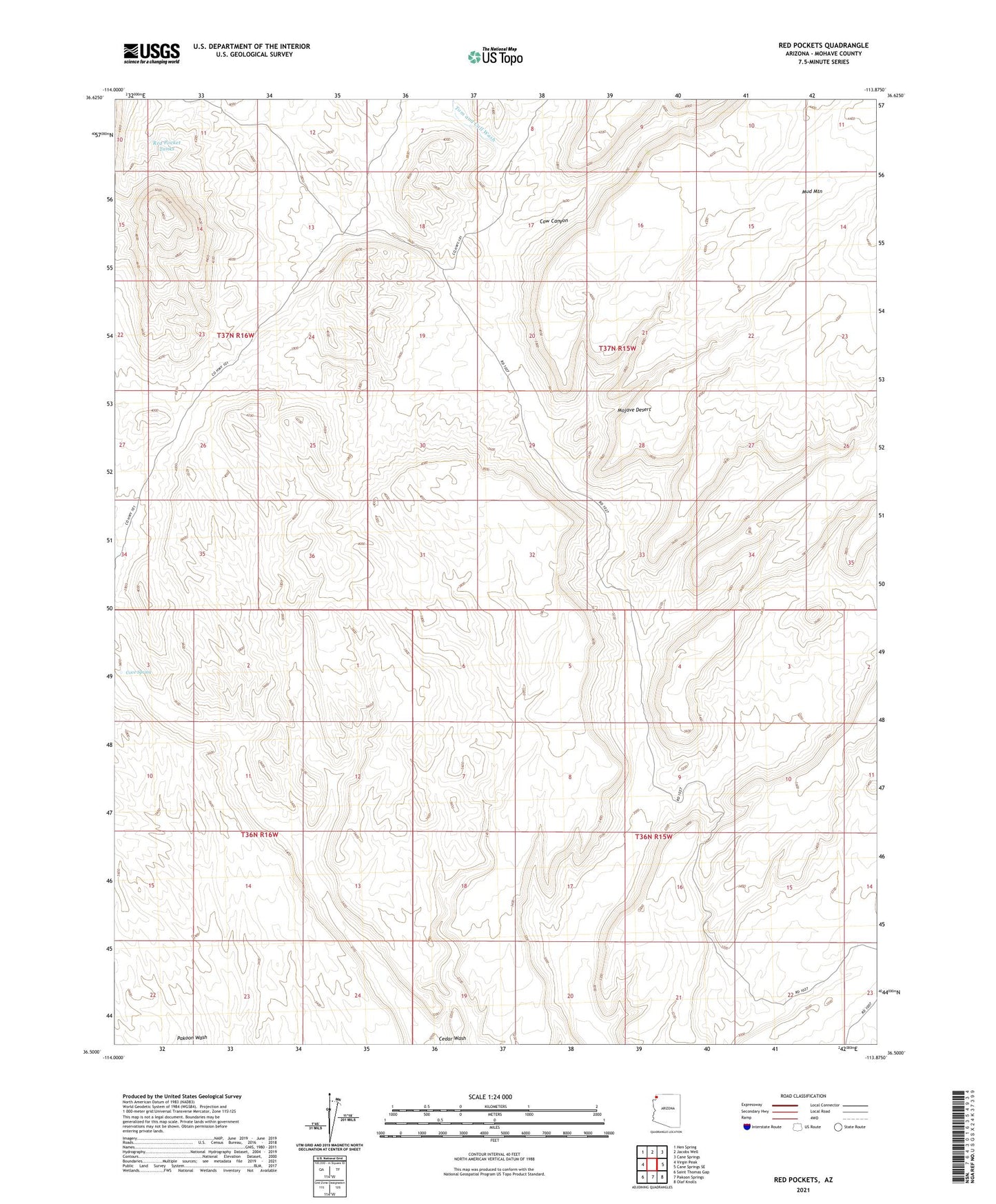
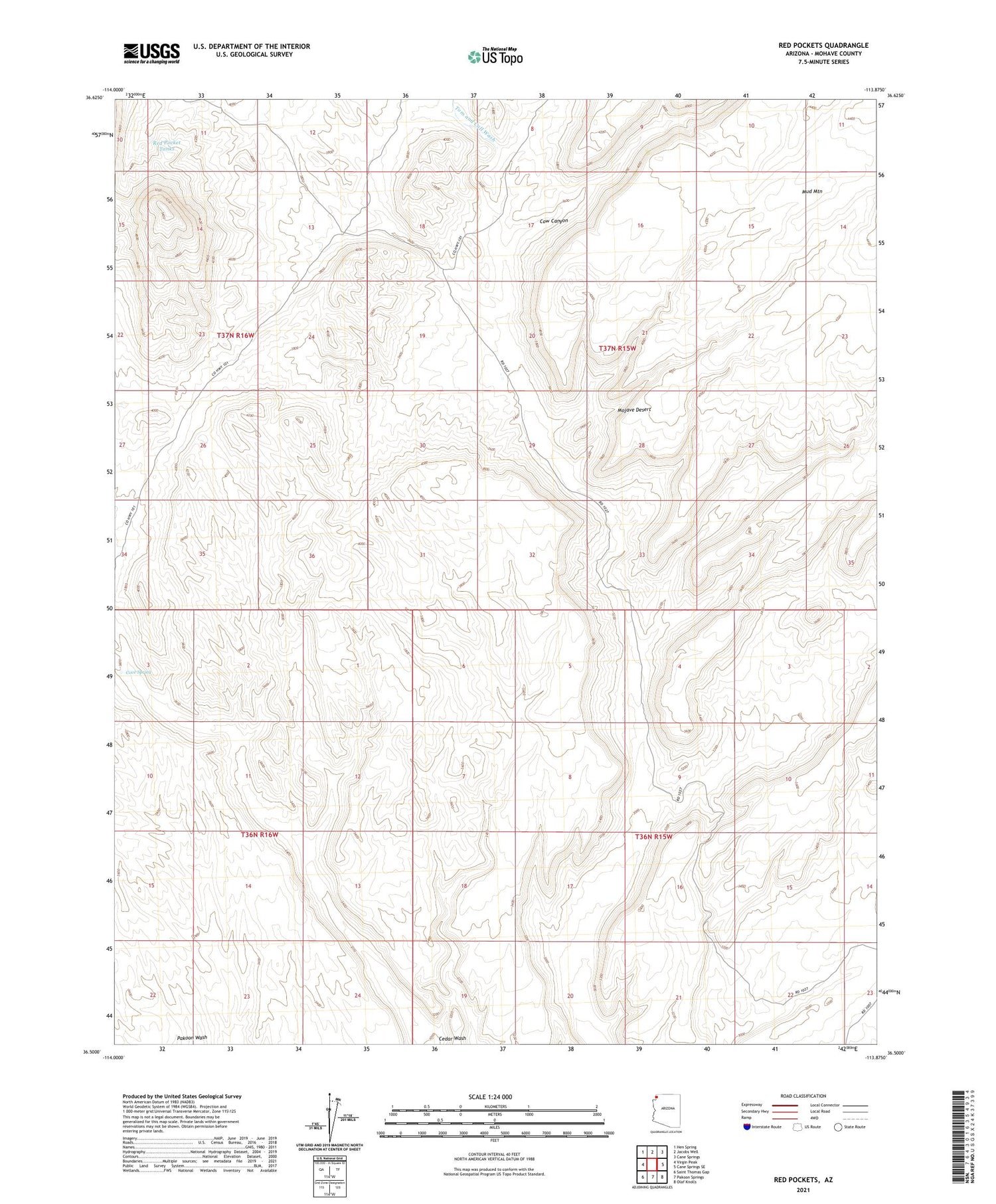
2021 topographic map quadrangle Red Pockets in the state of Arizona. Scale: 1:24000. Based on the newly updated USGS 7.5' US Topo map series, this map is in the following counties: Mohave. The map contains contour data, water features, and other items you are used to seeing on USGS maps, but also has updated roads and other features. This is the next generation of topographic maps. Printed on high-quality waterproof paper with UV fade-resistant inks.
Quads adjacent to this one:
West: Virgin Peak
Northwest: Hen Spring
North: Jacobs Well
Northeast: Cane Springs
East: Cane Springs SE
Southeast: Olaf Knolls
South: Pakoon Springs
Southwest: Saint Thomas Gap
This map covers the same area as the classic USGS quad with code o36113e8.
Contains the following named places: Cove Spring, Cow Canyon, Red Pocket Tanks, Tom and Cull Wash