MyTopo
Rhodes Canyon Arizona US Topo Map
Couldn't load pickup availability
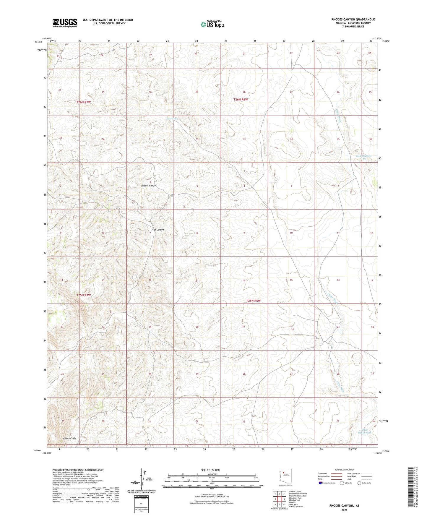
2021 topographic map quadrangle Rhodes Canyon in the state of Arizona. Scale: 1:24000. Based on the newly updated USGS 7.5' US Topo map series, this map is in the following counties: Coconino. The map contains contour data, water features, and other items you are used to seeing on USGS maps, but also has updated roads and other features. This is the next generation of topographic maps. Printed on high-quality waterproof paper with UV fade-resistant inks.
Quads adjacent to this one:
West: Big Chief Tank
Northwest: Crater Canyon
North: Rose Well Camp West
Northeast: Rose Well Camp East
East: Big Bud Tank
Southeast: Trinity Mountain
South: Red Mesa
Southwest: Audley
This map covers the same area as the classic USGS quad with code o35112e8.
Contains the following named places: Big E Tank, D Tank, Deer Tank, Jack Stephens Tank, Keseha Ranch, Kesena Dam, Little E Tank, Pine Canyon, Pine Canyon Dam, Rhodes Canyon Dam, Sheep Ranch Tank