MyTopo
Tecolote Ranch Arizona US Topo Map
Couldn't load pickup availability
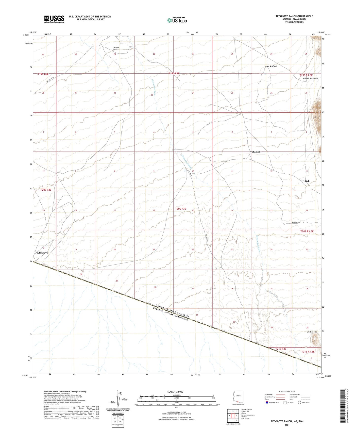
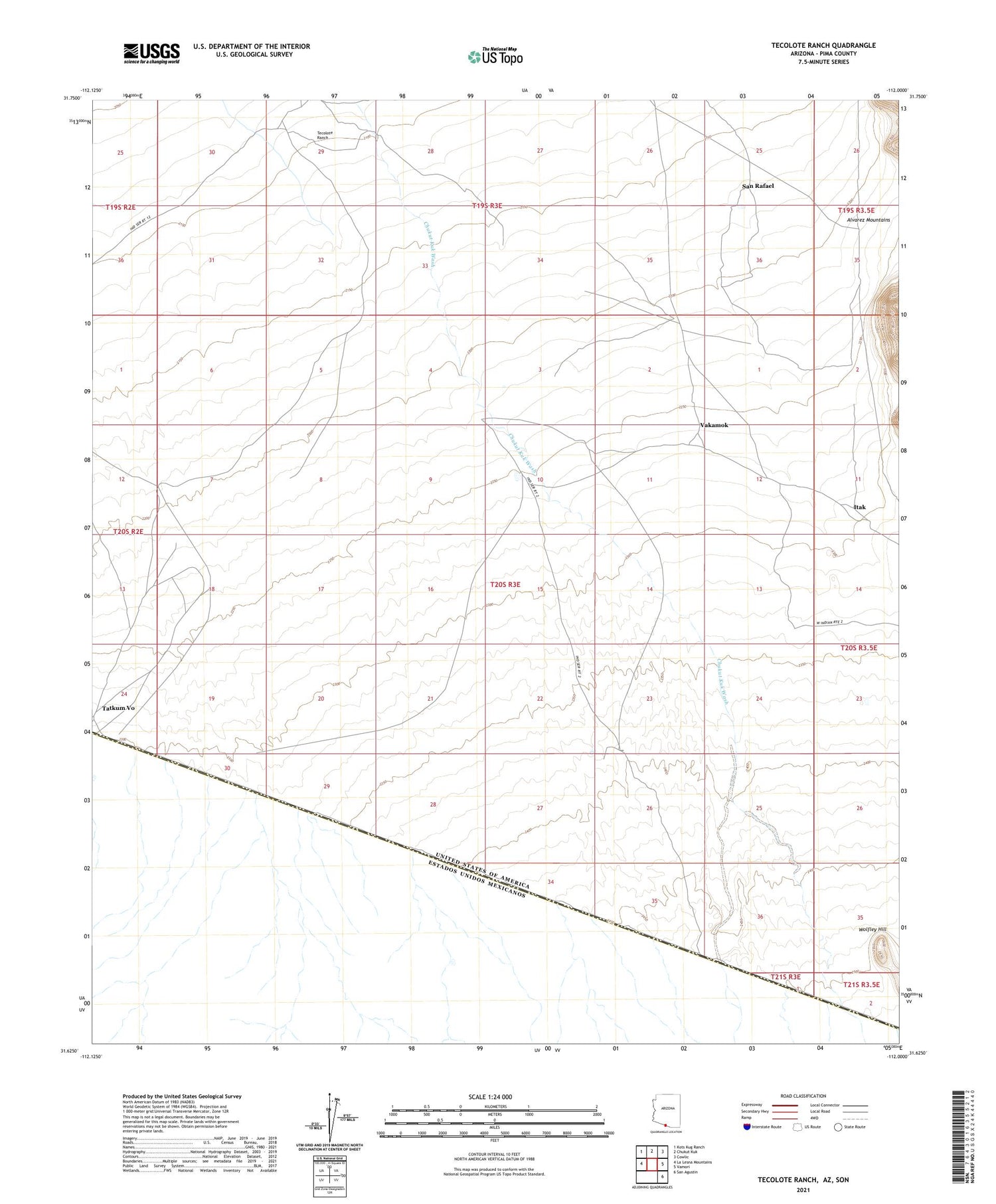
2021 topographic map quadrangle Tecolote Ranch in the state of Arizona. Scale: 1:24000. Based on the newly updated USGS 7.5' US Topo map series, this map is in the following counties: Pima. The map contains contour data, water features, and other items you are used to seeing on USGS maps, but also has updated roads and other features. This is the next generation of topographic maps. Printed on high-quality waterproof paper with UV fade-resistant inks.
Quads adjacent to this one:
West: La Lesna Mountains
Northwest: Kots Kug Ranch
North: Chukut Kuk
Northeast: Cowlic
East: Vamori
Southeast: San Agustin
This map covers the same area as the classic USGS quad with code o31112f1.
Contains the following named places: Chukut Kuk District, Itak, San Rafael, San Rafael Well, Tatkum Vo, Tecolete, Tecolote Ranch, Toros Ranch, Vakamok, Wolfley Hill