
MyTopo
Wide Ruins Arizona US Topo Map
Couldn't load pickup availability
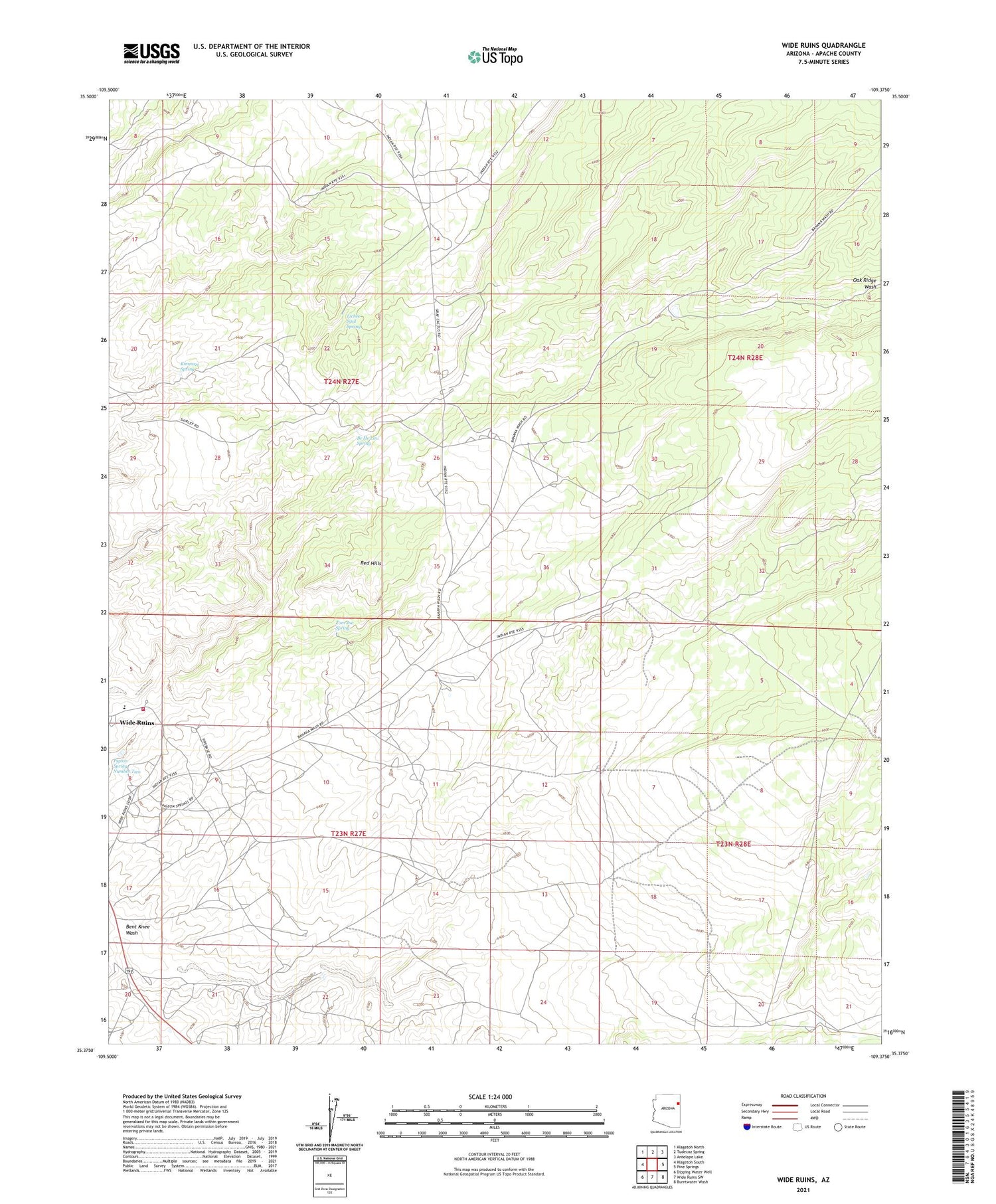
2021 topographic map quadrangle Wide Ruins in the state of Arizona. Scale: 1:24000. Based on the newly updated USGS 7.5' US Topo map series, this map is in the following counties: Apache. The map contains contour data, water features, and other items you are used to seeing on USGS maps, but also has updated roads and other features. This is the next generation of topographic maps. Printed on high-quality waterproof paper with UV fade-resistant inks.
Quads adjacent to this one:
West: Klagetoh South
Northwest: Klagetoh North
North: Tudecoz Spring
Northeast: Antelope Lake
East: Pine Springs
Southeast: Burntwater Wash
South: Wide Ruins SW
Southwest: Dipping Water Well
This map covers the same area as the classic USGS quad with code o35109d4.
Contains the following named places: Apache County, Autsidy Smith Well, Be He Lini Spring, Bent Knee Wash, Kinnazzi Spring, Lichee Sinil Spring, Pigeon Spring Number Two, Red Hills, Tom Joe Spring, Twin Buttes Trading Post, White Top, Wide Ruins, Wide Ruins Census Designated Place, Wide Ruins Fire Department, Wide Ruins Junior High School


