MyTopo
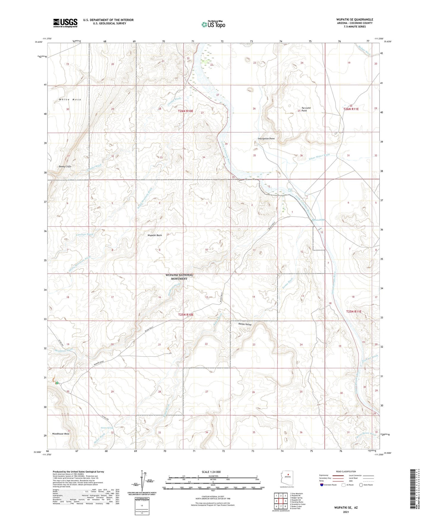
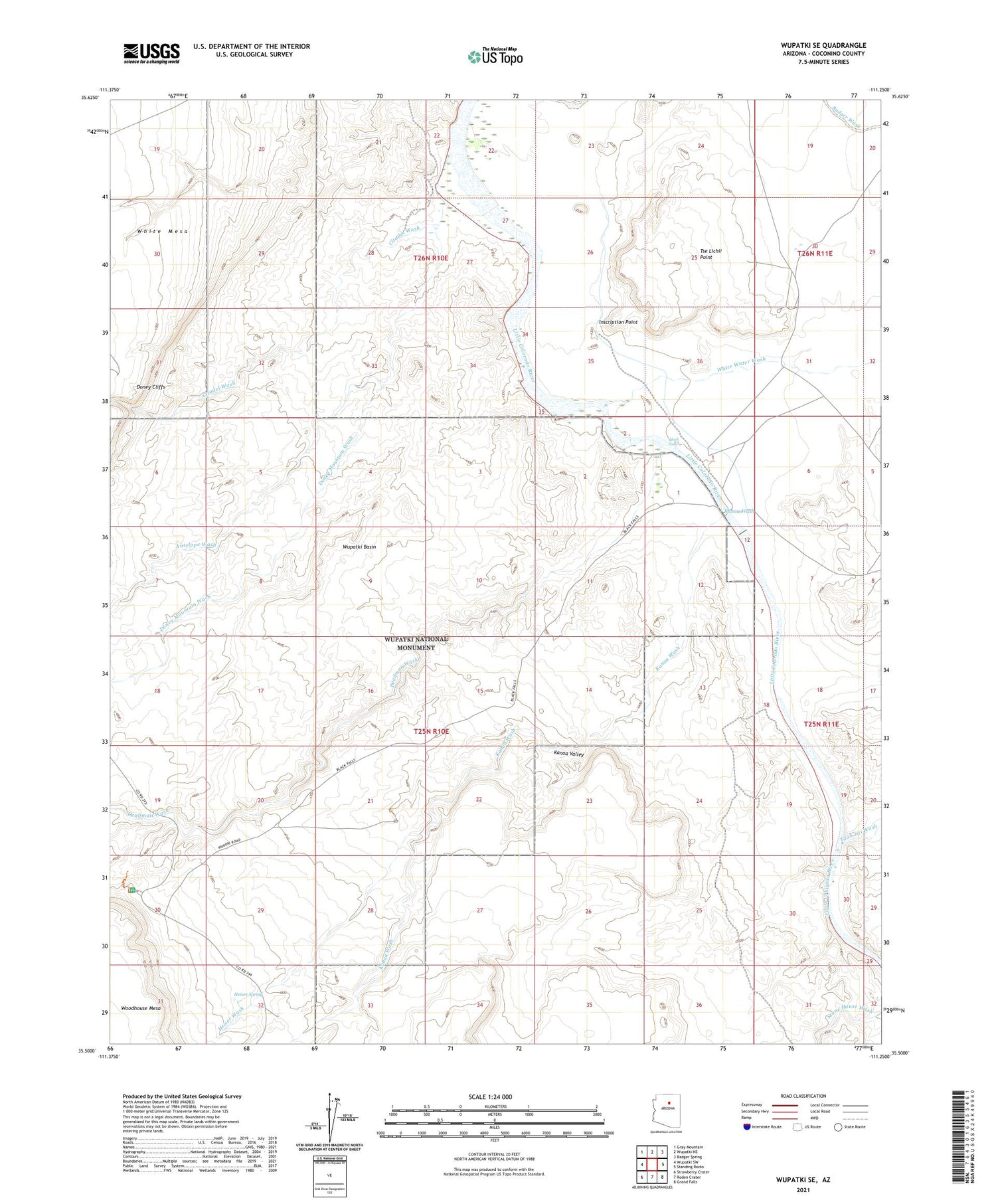
Wupatki SE Arizona US Topo Map
Couldn't load pickup availability
Also explore the Wupatki SE Forest Service Topo of this same quad for updated USFS data
2021 topographic map quadrangle Wupatki SE in the state of Arizona. Scale: 1:24000. Based on the newly updated USGS 7.5' US Topo map series, this map is in the following counties: Coconino. The map contains contour data, water features, and other items you are used to seeing on USGS maps, but also has updated roads and other features. This is the next generation of topographic maps. Printed on high-quality waterproof paper with UV fade-resistant inks.
Quads adjacent to this one:
West: Wupatki SW
Northwest: Gray Mountain
North: Wupatki NE
Northeast: Badger Spring
East: Standing Rocks
Southeast: Grand Falls
South: Roden Crater
Southwest: Strawberry Crater
This map covers the same area as the classic USGS quad with code o35111e3.
Contains the following named places: Antelope Wash, Aswan Tank, Black Falls, Black Falls Crossing, Black Falls Dam, Citadel Wash, Deadman Wash, Doney Mountain Wash, Heiser Spring, Heiser Wash, Inscription Point, Kanaa Valley, Kanaa Wash, Savage Well, Taah Iiti Wash, Trader Tank, Tse Lichii Point, White Water Wash, Wupatki Basin, Wupatki National Monument Visitor Center