MyTopo
Yucca Hill Arizona US Topo Map
Couldn't load pickup availability
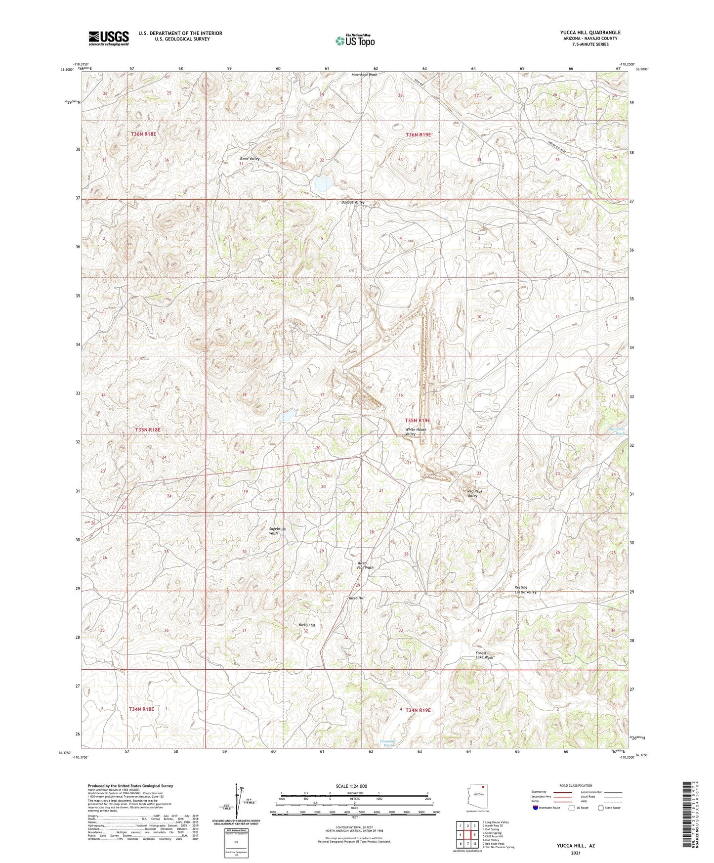
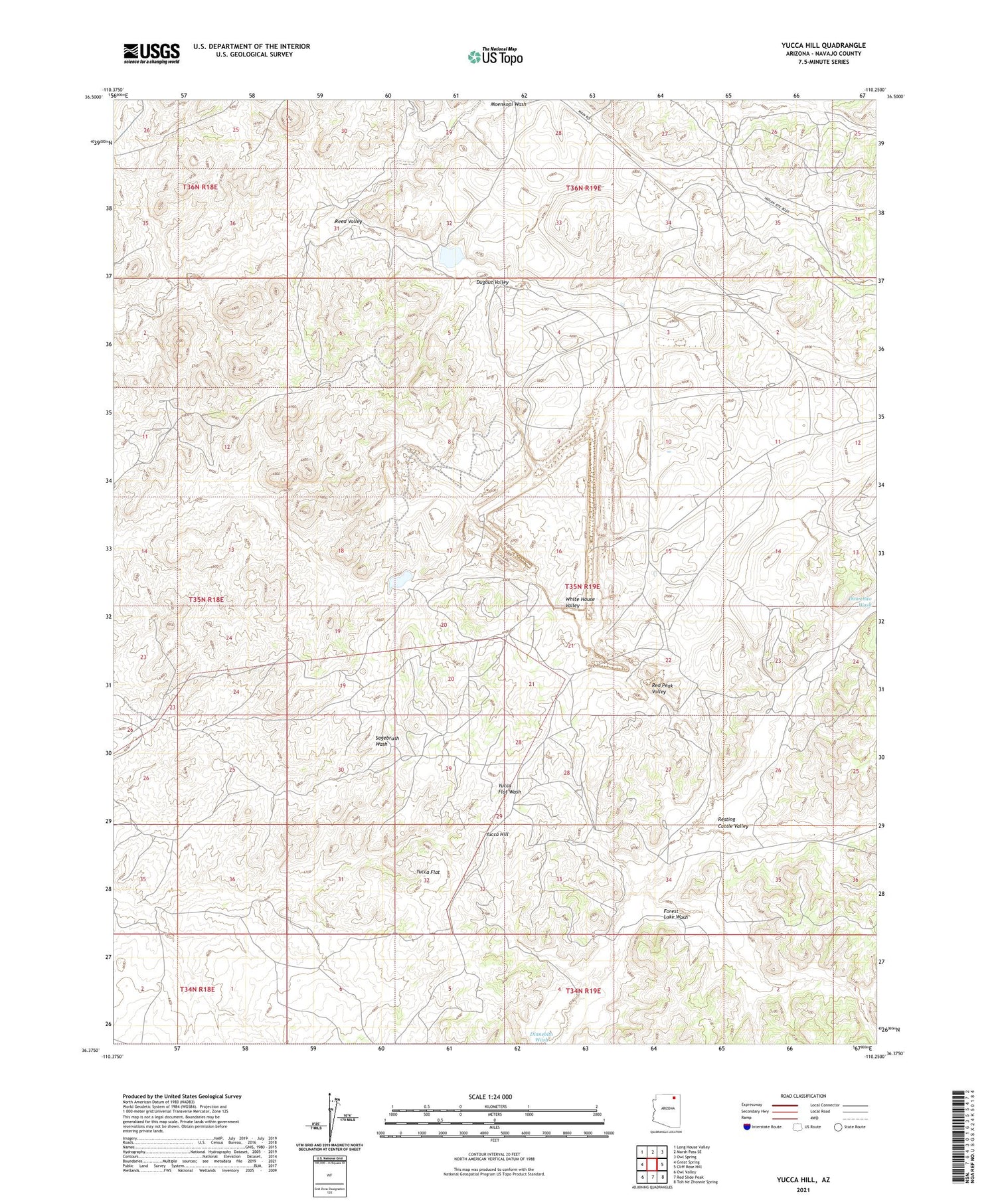
2021 topographic map quadrangle Yucca Hill in the state of Arizona. Scale: 1:24000. Based on the newly updated USGS 7.5' US Topo map series, this map is in the following counties: Navajo. The map contains contour data, water features, and other items you are used to seeing on USGS maps, but also has updated roads and other features. This is the next generation of topographic maps. Printed on high-quality waterproof paper with UV fade-resistant inks.
Quads adjacent to this one:
West: Great Spring
Northwest: Long House Valley
North: Marsh Pass SE
Northeast: Owl Spring
East: Cliff Rose Hill
Southeast: Toh Ne Zhonnie Spring
South: Red Slide Peak
Southwest: Owl Valley
This map covers the same area as the classic USGS quad with code o36110d3.
Contains the following named places: Dugout Valley, Forest Lake Wash, Reed Valley, Resting Cattle Valley, White House Valley, Yucca Flat, Yucca Hill