MyTopo
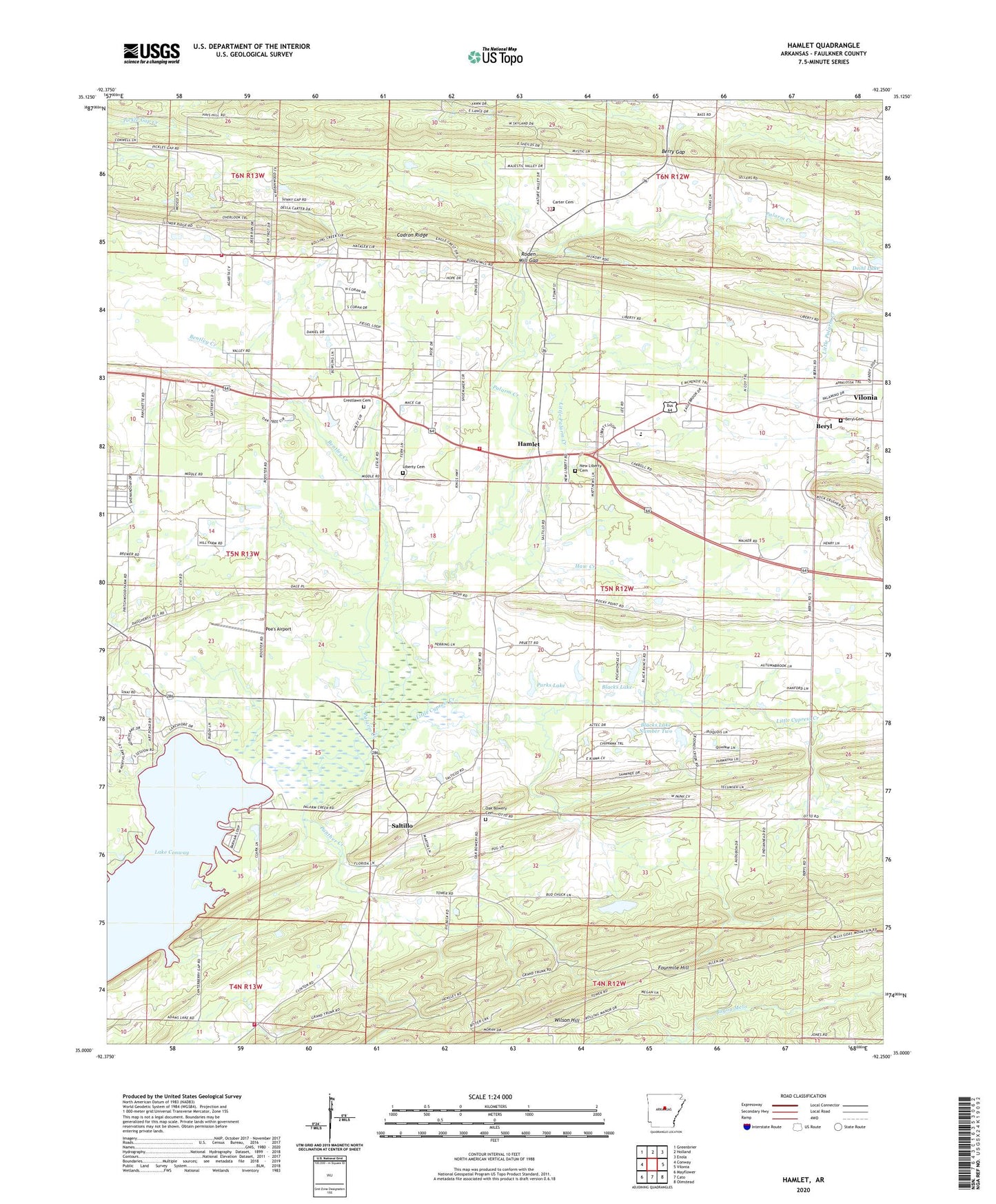
Hamlet Arkansas US Topo Map
Couldn't load pickup availability
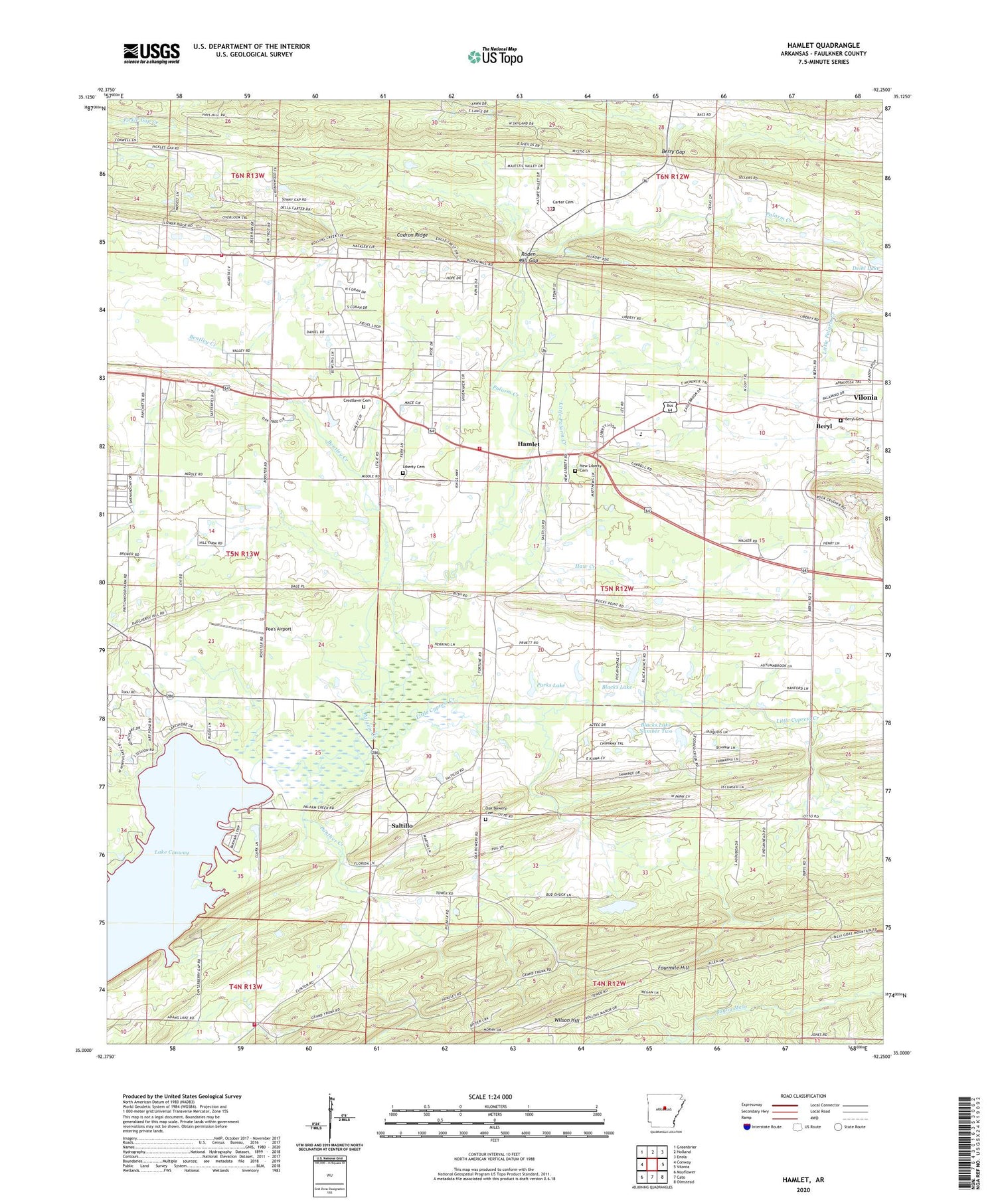
2024 topographic map quadrangle Hamlet in the state of Arkansas. Scale: 1:24000. Based on the newly updated USGS 7.5' US Topo map series, this map is in the following counties: Faulkner. The map contains contour data, water features, and other items you are used to seeing on USGS maps, but also has updated roads and other features. This is the next generation of topographic maps. Printed on high-quality waterproof paper with UV fade-resistant inks.
Quads adjacent to this one:
West: Conway
Northwest: Greenbrier
North: Holland
Northeast: Enola
East: Vilonia
Southeast: Olmstead
South: Cato
Southwest: Mayflower
This map covers the same area as the classic USGS quad with code o35092a3.
Contains the following named places: Art Pond Landing, Bass Creek, Beaverdam Ford, Bentley Creek, Berry Gap, Beryl, Beryl Baptist Church, Beryl Cemetery, Blacks Lake, Blacks Lake Dam, Blacks Lake Number Two, Blacks Lake Number Two Dam, Brazears Store, Browns School, Cadron Ridge, Carter Cemetery, Church of Christ, Crest Lawn Memorial Park, Crestlawn Cemetery, Davis School, Deihl Lake Dam, Duncan School, Emmanuel Baptist Church, Fourmile Hill, Friendship Baptist Church, Graham Chapel Methodist Church, Hamlet, Haw Creek, Jeffries School, Jones Chapel, Knap Church, Liberty Cemetery, Liberty Rural Fire Department, Liberty School, Liberty Volunteer Fire Department Station 2, Little Cypress Creek, Little Palarm Creek, Metropolitan Emergency Medical Service - Liberty, Mount Tabor Church, Muns Store, New Liberty Cemetery, New Liberty Church, Oak Bowery Baptist Church, Oak Bowery Cemetery, Oak Bowery School, Old Liberty Baptist Church, Palarm Creek Landing, Panther Creek, Parks Lake, Parks Lake Dam, Pleasant Grove Church, Poe's Airport, Rocky Ridge School, Rodans Mill, Roden Mill Gap, Saltillo, Saltillo Volunteer Fire Department, Sunny Gap, Sunny Gap School, Township of Eagle, Township of Palarm, Tucker School, Vilonia Primary School, Wilson Hill, ZIP Code: 72032


