MyTopo
Astley Rancho California US Topo Map
Couldn't load pickup availability
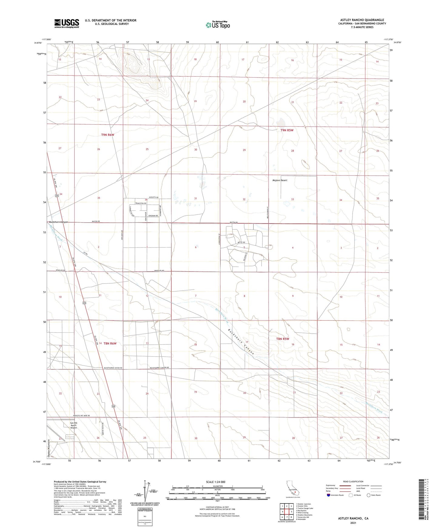
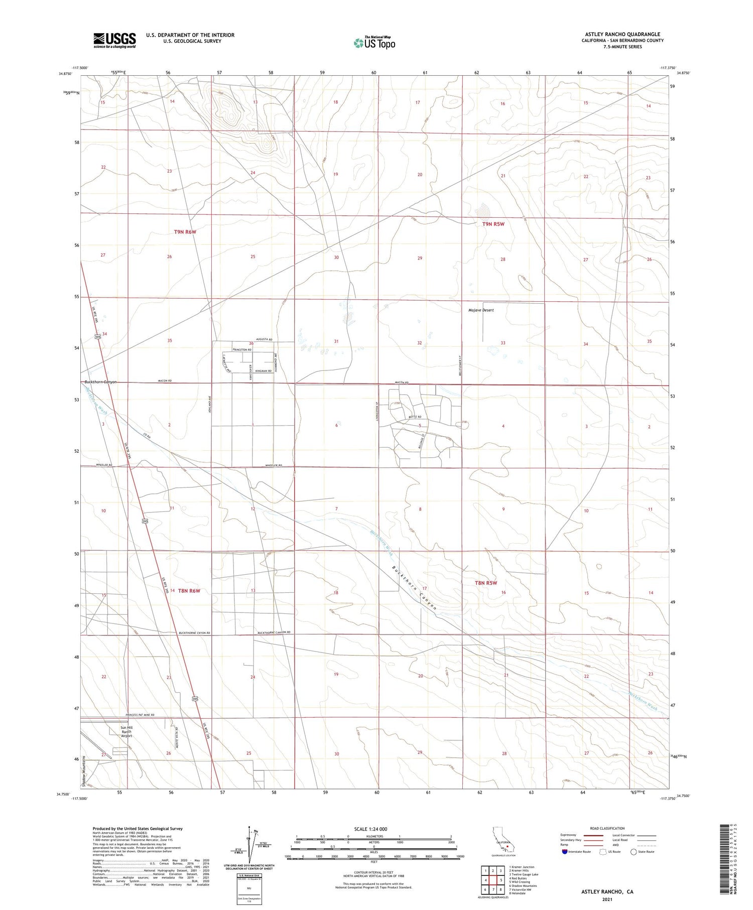
2021 topographic map quadrangle Astley Rancho in the state of California. Scale: 1:24000. Based on the newly updated USGS 7.5' US Topo map series, this map is in the following counties: San Bernardino. The map contains contour data, water features, and other items you are used to seeing on USGS maps, but also has updated roads and other features. This is the next generation of topographic maps. Printed on high-quality waterproof paper with UV fade-resistant inks.
Quads adjacent to this one:
West: Red Buttes
Northwest: Kramer Junction
North: Kramer Hills
Northeast: Twelve Gauge Lake
East: Wild Crossing
Southeast: Helendale
South: Victorville NW
Southwest: Shadow Mountains
This map covers the same area as the classic USGS quad with code o34117g4.
Contains the following named places: Astley Ranch, Sun Hill Ranch Airport