MyTopo
Calvada Springs California US Topo Map
Couldn't load pickup availability
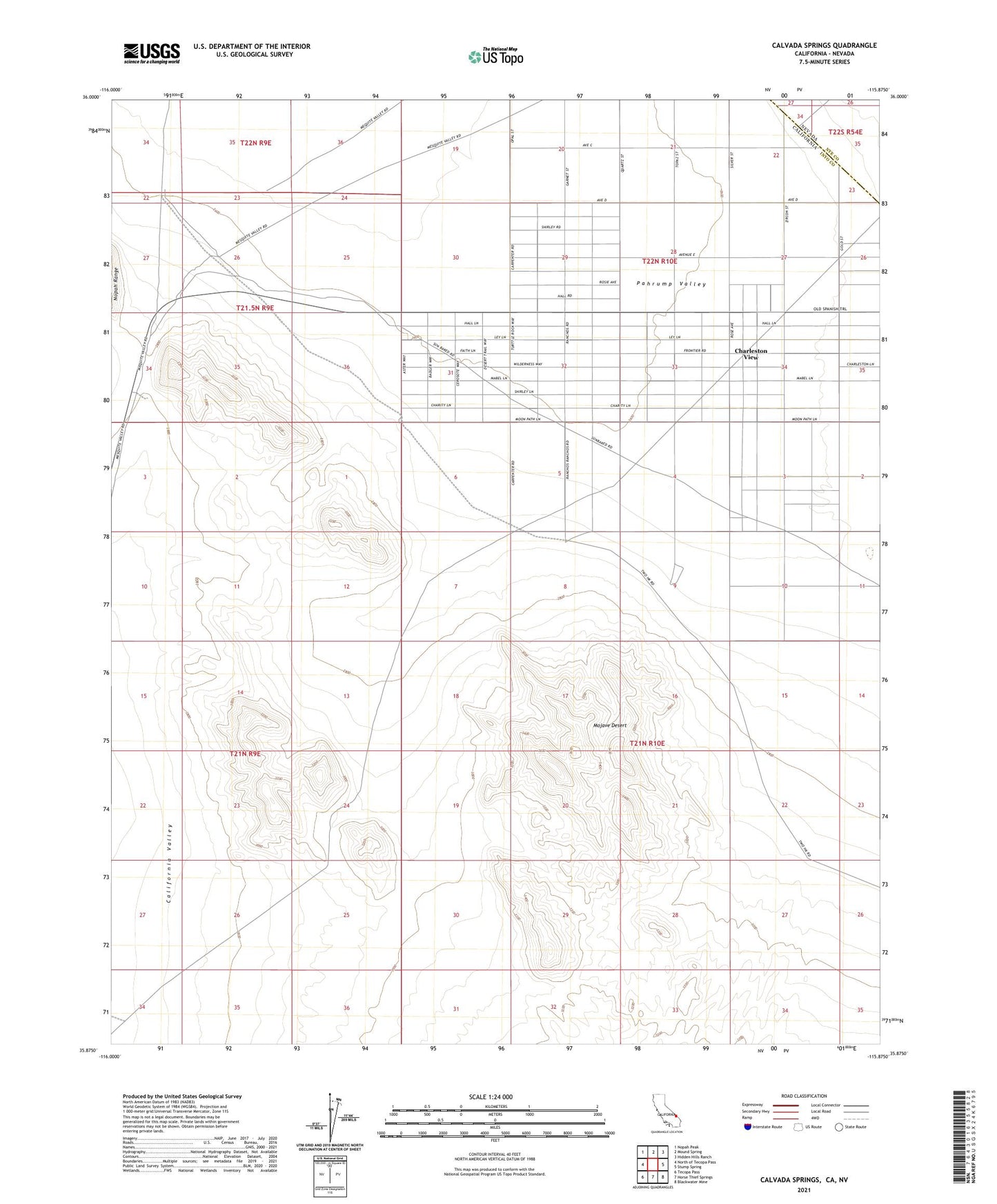
2021 topographic map quadrangle Calvada Springs in the state of California. Scale: 1:24000. Based on the newly updated USGS 7.5' US Topo map series, this map is in the following counties: Inyo, Nye. The map contains contour data, water features, and other items you are used to seeing on USGS maps, but also has updated roads and other features. This is the next generation of topographic maps. Printed on high-quality waterproof paper with UV fade-resistant inks.
Quads adjacent to this one:
West: North of Tecopa Pass
Northwest: Nopah Peak
North: Mound Spring
Northeast: Hidden Hills Ranch
East: Stump Spring
Southeast: Blackwater Mine
South: Horse Thief Springs
Southwest: Tecopa Pass
Contains the following named places: Calvada Springs, Charleston View, Charleston View Census Designated Place