MyTopo
Camatta Canyon California US Topo Map
Couldn't load pickup availability
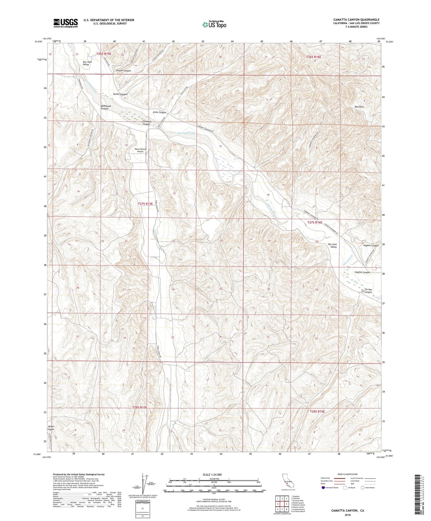
2021 topographic map quadrangle Camatta Canyon in the state of California. Scale: 1:24000. Based on the newly updated USGS 7.5' US Topo map series, this map is in the following counties: San Luis Obispo. The map contains contour data, water features, and other items you are used to seeing on USGS maps, but also has updated roads and other features. This is the next generation of topographic maps. Printed on high-quality waterproof paper with UV fade-resistant inks.
Quads adjacent to this one:
West: Shedd Canyon
Northwest: Shandon
North: Cholame
Northeast: Orchard Peak
East: Holland Canyon
Southeast: La Panza Ranch
South: Camatta Ranch
Southwest: Wilson Corner
This map covers the same area as the classic USGS quad with code o35120e3.
Contains the following named places: Alfalfa Ranch, Alley Camp, Alliance School, Blech Ranch Airport, Camatta Canyon, Camatta Creek, Canyon Ranch, Gillis Canyon, Hughes Canyon, McDonald Canyon, San Juan Valley, Slocum Canyon, Sprague Camp, Tin Pan Canyon, Tucker Canyon