MyTopo
East of Kingston Spring California US Topo Map
Couldn't load pickup availability
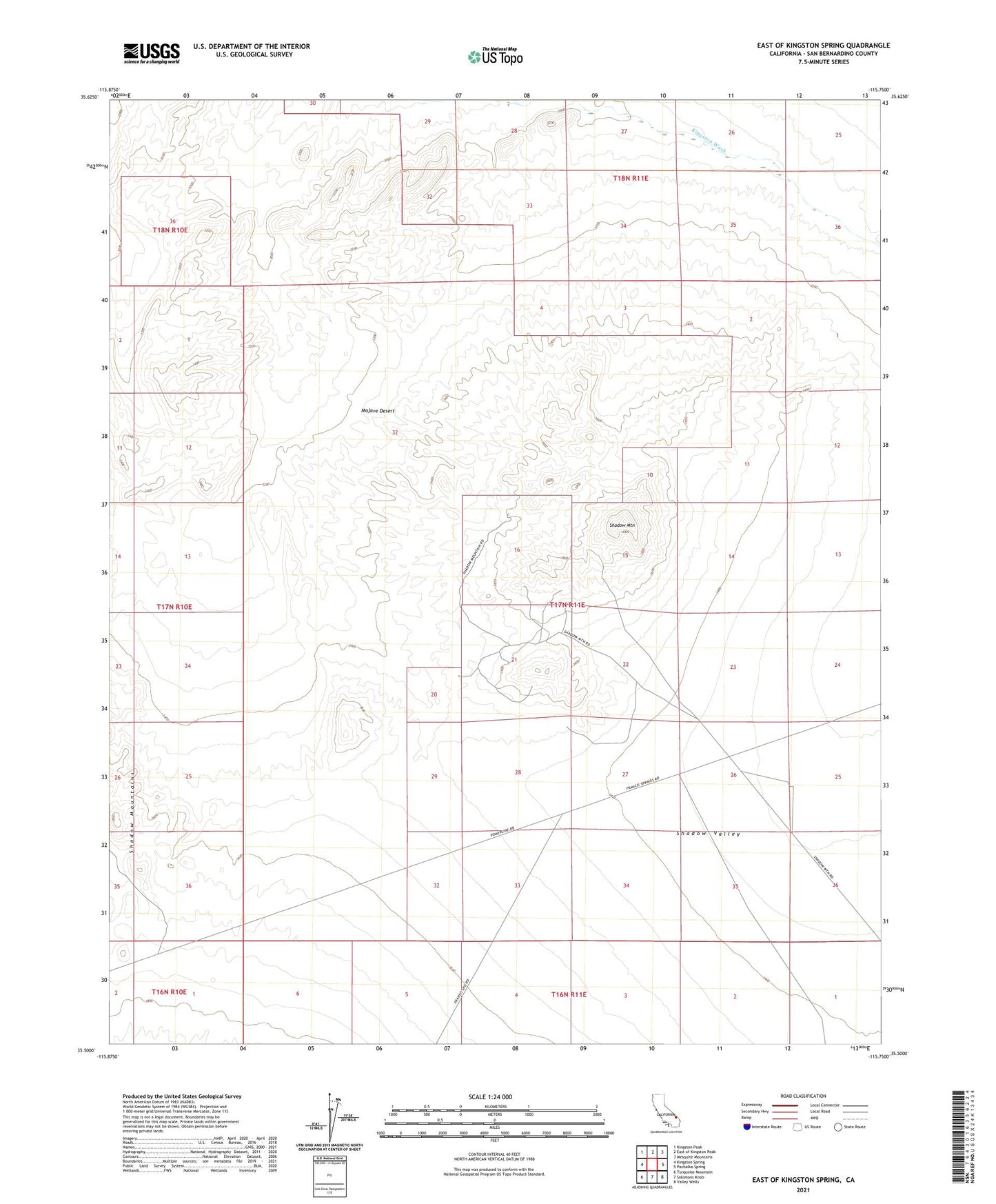
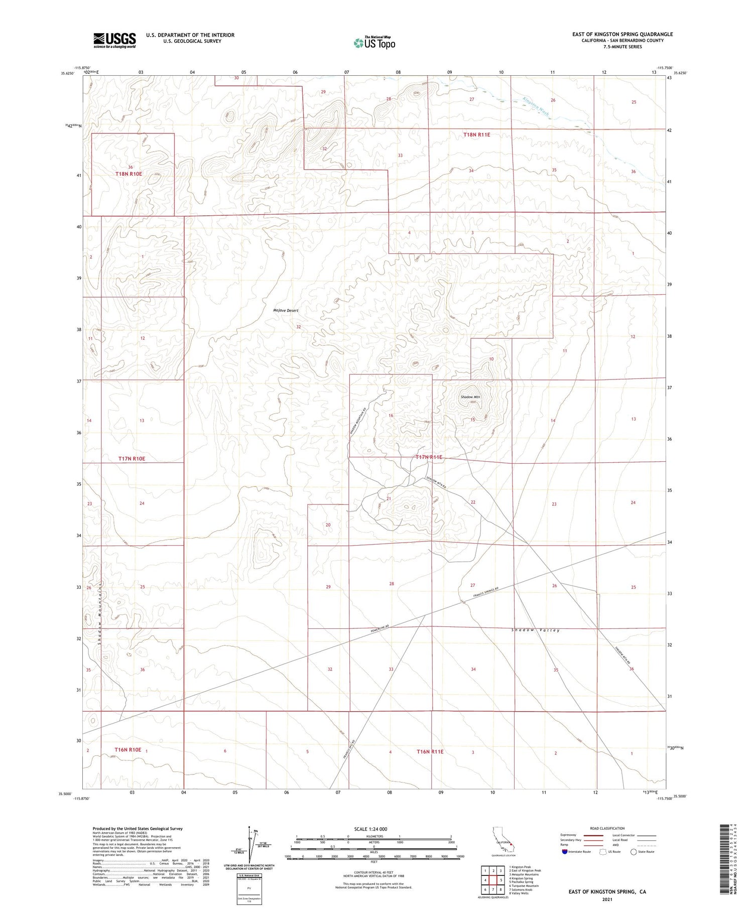
2021 topographic map quadrangle East of Kingston Spring in the state of California. Scale: 1:24000. Based on the newly updated USGS 7.5' US Topo map series, this map is in the following counties: San Bernardino. The map contains contour data, water features, and other items you are used to seeing on USGS maps, but also has updated roads and other features. This is the next generation of topographic maps. Printed on high-quality waterproof paper with UV fade-resistant inks.
Quads adjacent to this one:
West: Kingston Spring
Northwest: Kingston Peak
North: East of Kingston Peak
Northeast: Mesquite Mountains
East: Pachalka Spring
Southeast: Valley Wells
South: Solomons Knob
Southwest: Turquoise Mountain
This map covers the same area as the classic USGS quad with code o35115e7.
Contains the following named places: Shadow Mountain, Shadow Mountain Mine