MyTopo
East of Tin Mountain California US Topo Map
Couldn't load pickup availability
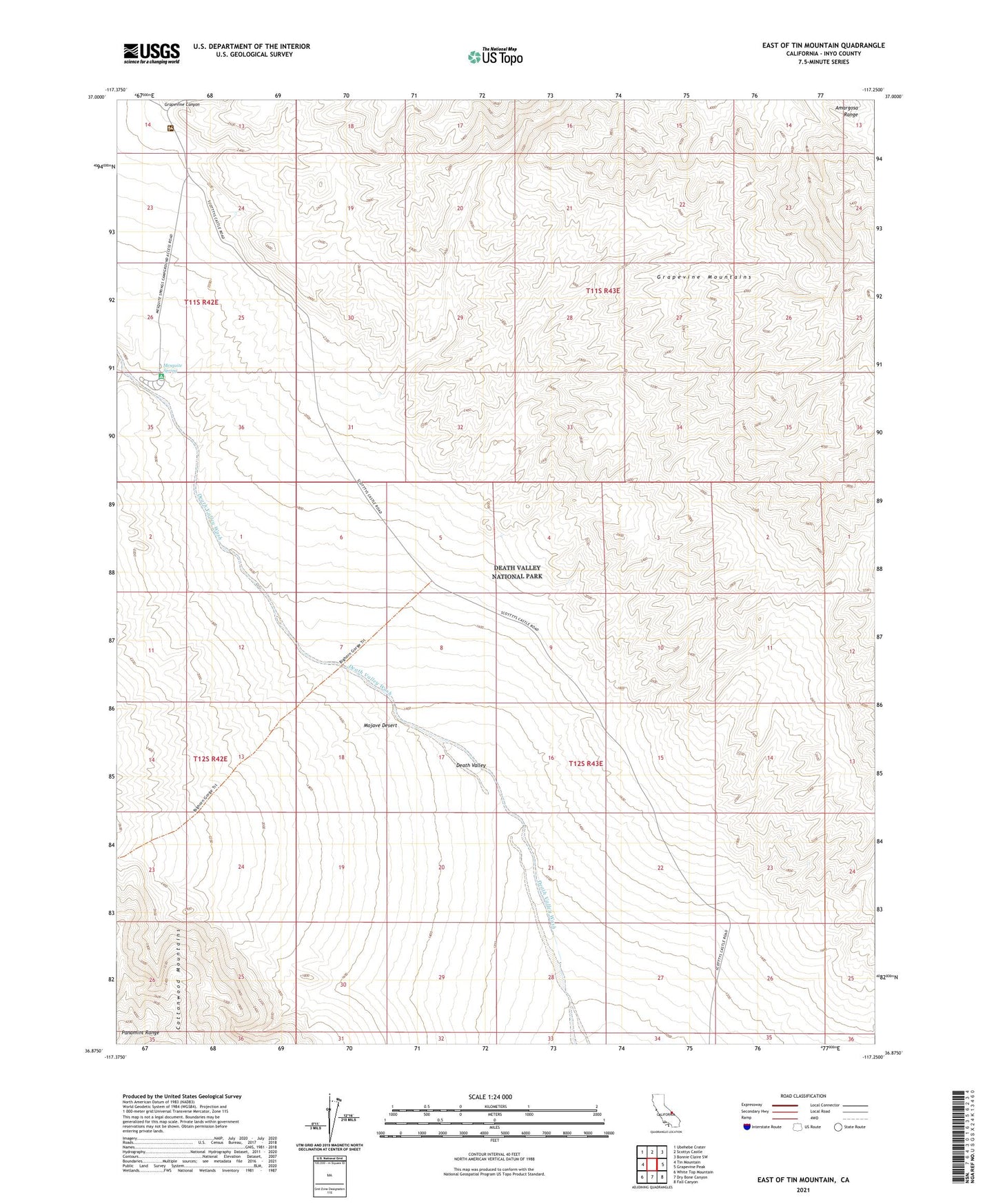
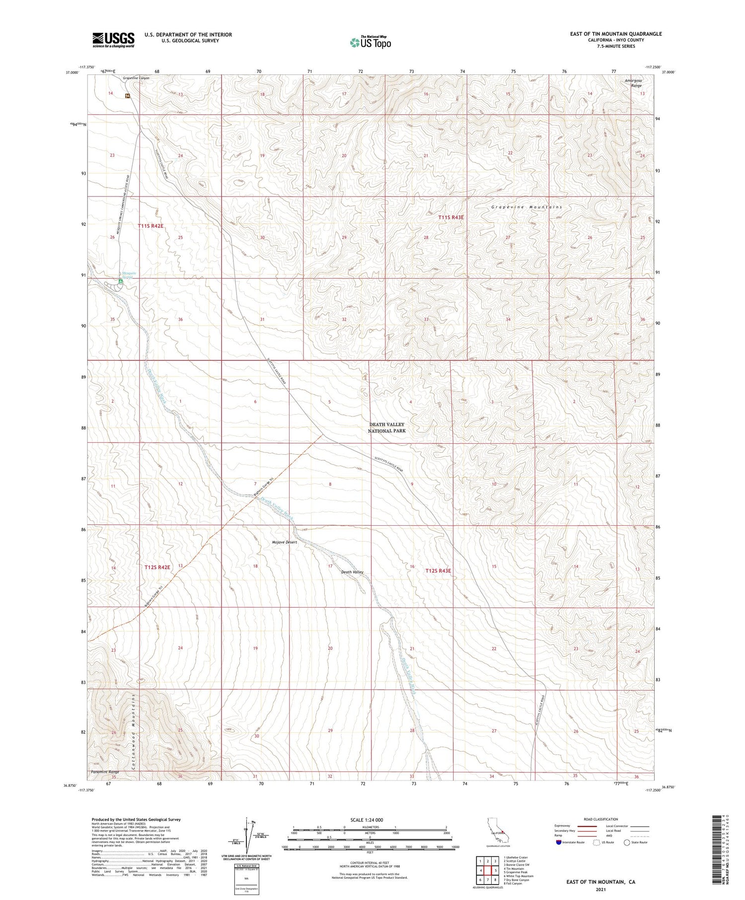
2021 topographic map quadrangle East of Tin Mountain in the state of California. Scale: 1:24000. Based on the newly updated USGS 7.5' US Topo map series, this map is in the following counties: Inyo. The map contains contour data, water features, and other items you are used to seeing on USGS maps, but also has updated roads and other features. This is the next generation of topographic maps. Printed on high-quality waterproof paper with UV fade-resistant inks.
Quads adjacent to this one:
West: Tin Mountain
Northwest: Ubehebe Crater
North: Scottys Castle
Northeast: Bonnie Claire SW
East: Grapevine Peak
Southeast: Fall Canyon
South: Dry Bone Canyon
Southwest: White Top Mountain
Contains the following named places: Grapevine Canyon, Grapevine Ranger Station, Mesquite Spring, Mesquite Spring Campground