MyTopo
Grommet California US Topo Map
Couldn't load pickup availability
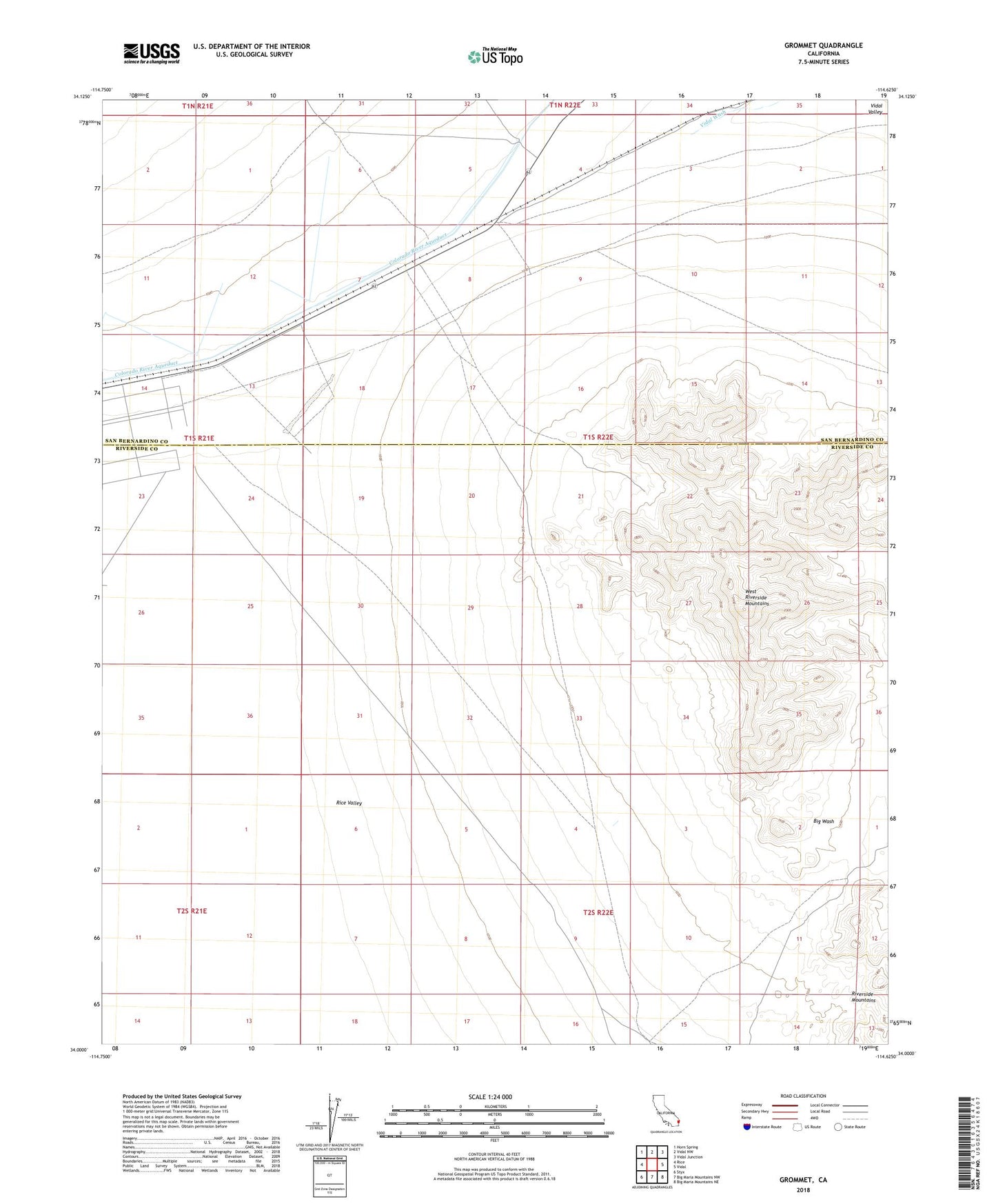
2021 topographic map quadrangle Grommet in the state of California. Scale: 1:24000. Based on the newly updated USGS 7.5' US Topo map series, this map is in the following counties: Riverside, San Bernardino. The map contains contour data, water features, and other items you are used to seeing on USGS maps, but also has updated roads and other features. This is the next generation of topographic maps. Printed on high-quality waterproof paper with UV fade-resistant inks.
Quads adjacent to this one:
West: Rice
Northwest: Horn Spring
North: Vidal NW
Northeast: Vidal Junction
East: Vidal
Southeast: Big Maria Mountains NE
South: Big Maria Mountains NW
Southwest: Styx
This map covers the same area as the classic USGS quad with code o34114a6.
Contains the following named places: West Riverside Mountains, ZIP Code: 92280