MyTopo
Hayfield Spring California US Topo Map
Couldn't load pickup availability
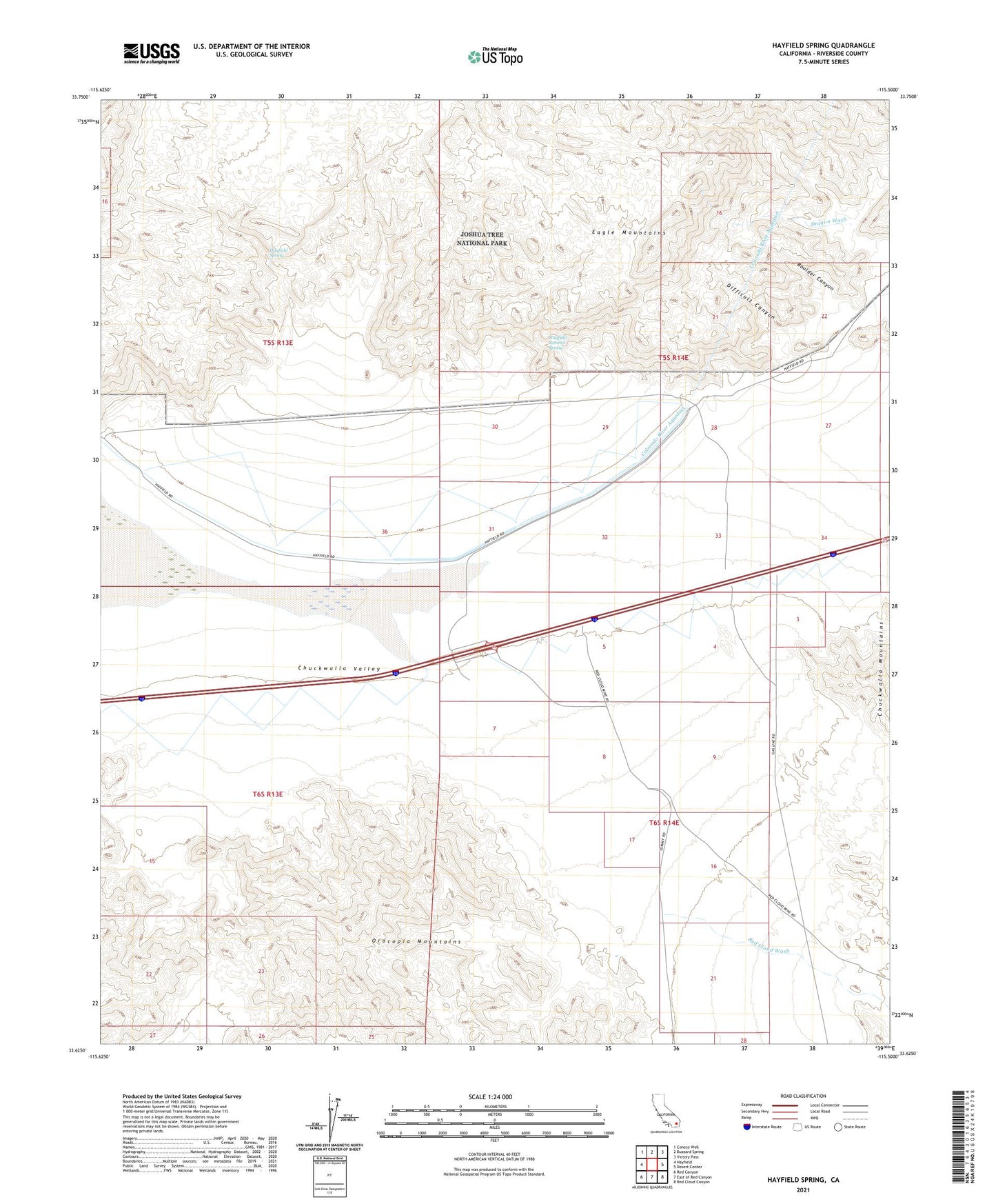
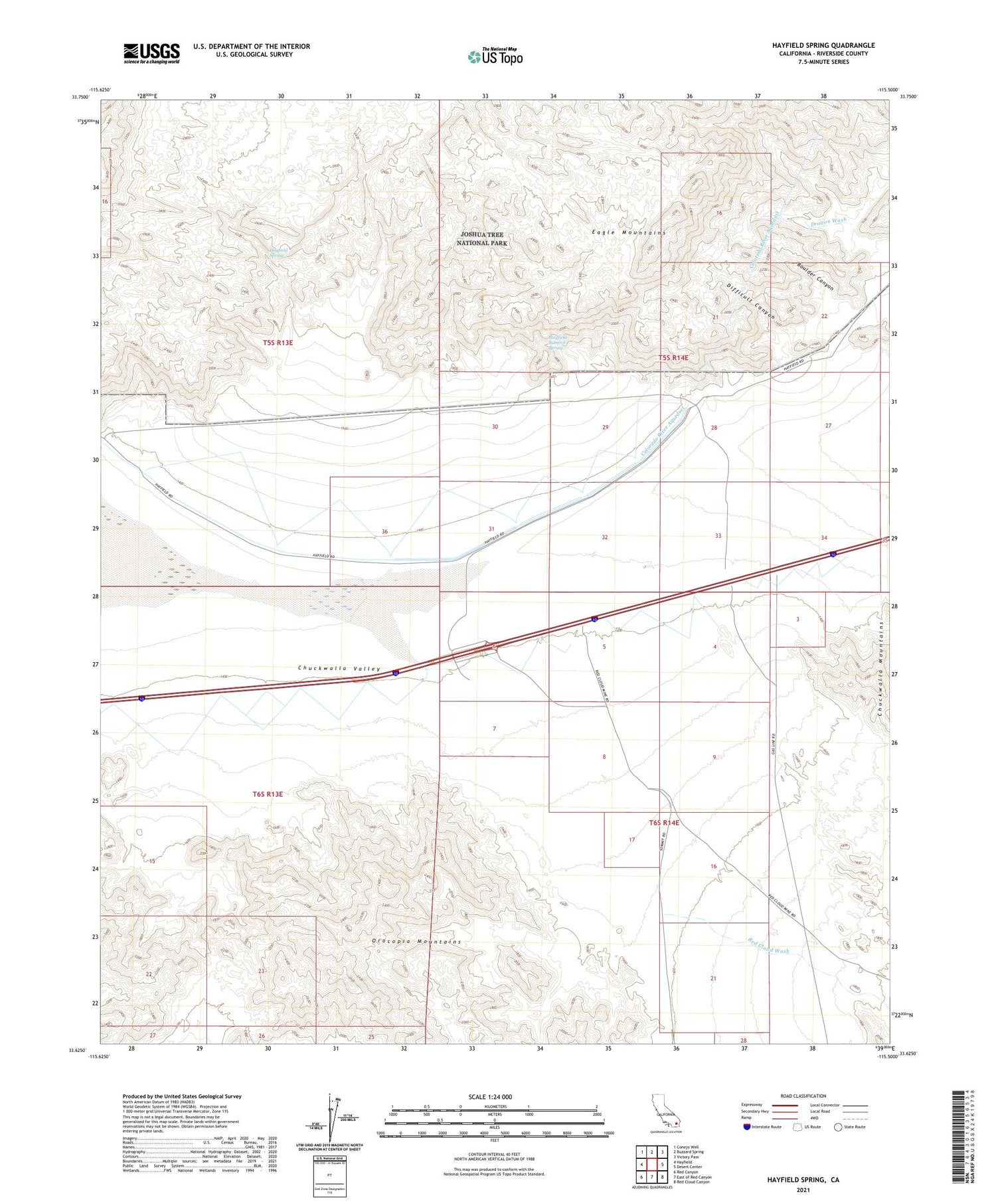
2021 topographic map quadrangle Hayfield Spring in the state of California. Scale: 1:24000. Based on the newly updated USGS 7.5' US Topo map series, this map is in the following counties: Riverside. The map contains contour data, water features, and other items you are used to seeing on USGS maps, but also has updated roads and other features. This is the next generation of topographic maps. Printed on high-quality waterproof paper with UV fade-resistant inks.
Quads adjacent to this one:
West: Hayfield
Northwest: Conejo Well
North: Buzzard Spring
Northeast: Victory Pass
East: Desert Center
Southeast: Red Cloud Canyon
South: East of Red Canyon
Southwest: Red Canyon
This map covers the same area as the classic USGS quad with code o33115f5.
Contains the following named places: Boulder Canyon, Difficult Canyon, Hayfield Lake, Hayfield Spring, Hayfield Summit Spring, Red Cloud Wash, Skylark Ranch, West Eagle Mountain Tunnel