MyTopo
Kelso Dunes California US Topo Map
Couldn't load pickup availability
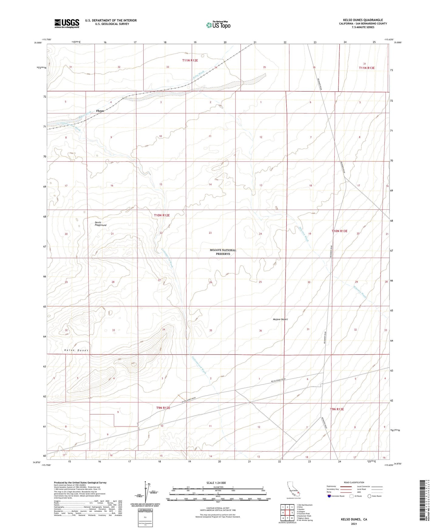
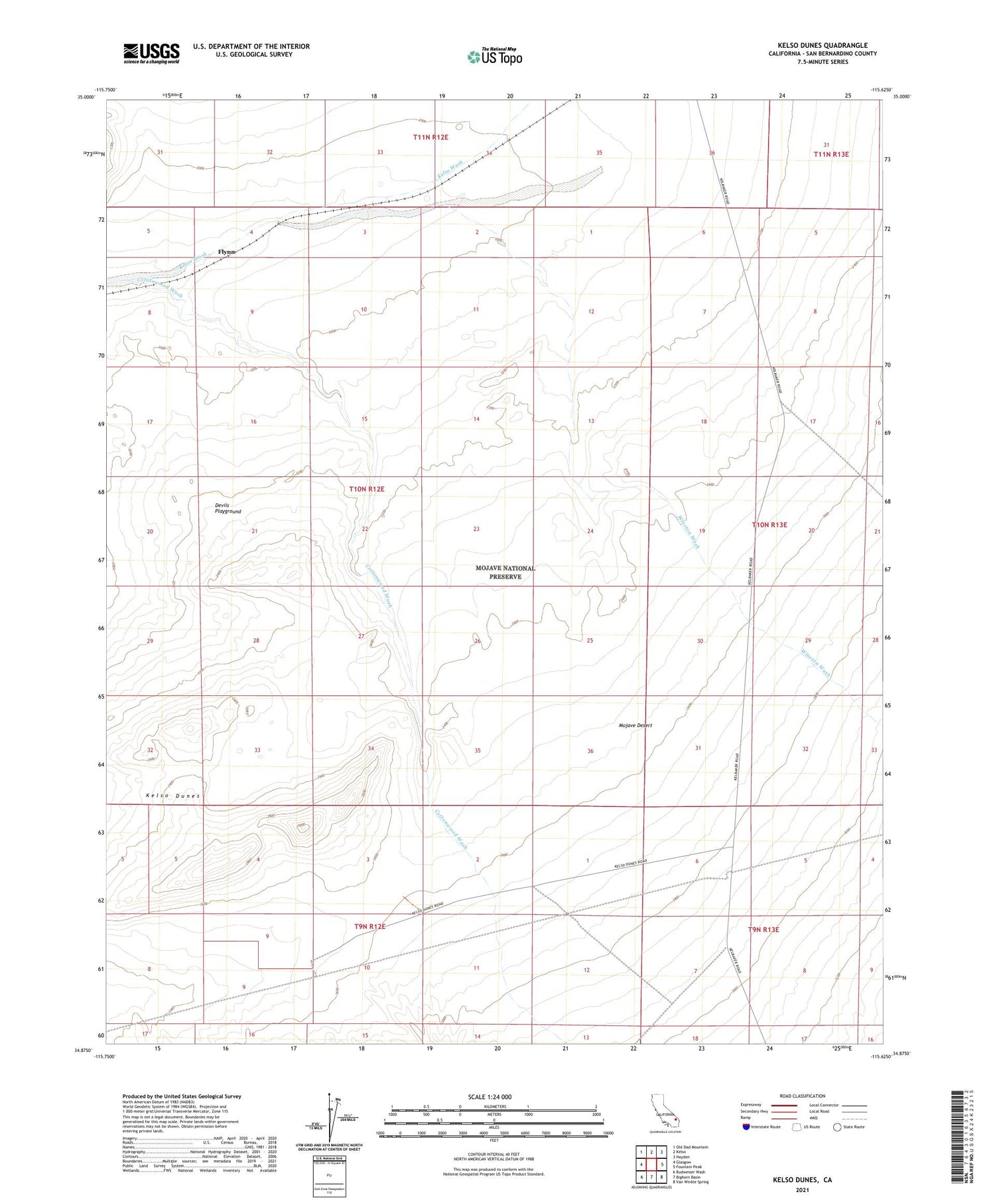
2021 topographic map quadrangle Kelso Dunes in the state of California. Scale: 1:24000. Based on the newly updated USGS 7.5' US Topo map series, this map is in the following counties: San Bernardino. The map contains contour data, water features, and other items you are used to seeing on USGS maps, but also has updated roads and other features. This is the next generation of topographic maps. Printed on high-quality waterproof paper with UV fade-resistant inks.
Quads adjacent to this one:
West: Glasgow
Northwest: Old Dad Mountain
North: Kelso
Northeast: Hayden
East: Fountain Peak
Southeast: Van Winkle Spring
South: Bighorn Basin
Southwest: Budweiser Wash
This map covers the same area as the classic USGS quad with code o34115h6.
Contains the following named places: Cottonwood Wash, Dick Taylor Airstrip, Flynn, Kelso Dunes, Winston Wash