MyTopo
Mohawk Spring California US Topo Map
Couldn't load pickup availability
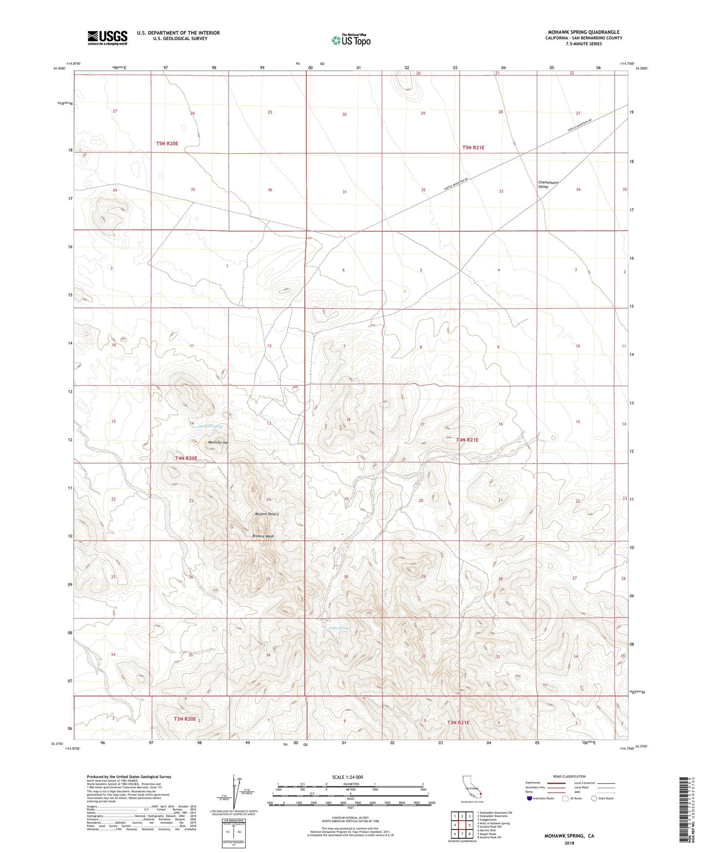
2021 topographic map quadrangle Mohawk Spring in the state of California. Scale: 1:24000. Based on the newly updated USGS 7.5' US Topo map series, this map is in the following counties: San Bernardino. The map contains contour data, water features, and other items you are used to seeing on USGS maps, but also has updated roads and other features. This is the next generation of topographic maps. Printed on high-quality waterproof paper with UV fade-resistant inks.
Quads adjacent to this one:
West: West of Mohawk Spring
Northwest: Stepladder Mountains SW
North: Stepladder Mountains
Northeast: Snaggletooth
East: Savahia Peak NW
Southeast: Savahia Peak SW
South: Mopah Peaks
Southwest: Martins Well
This map covers the same area as the classic USGS quad with code o34114d7.
Contains the following named places: Browns Camp, Carsons Wells, Coffin Spring, Mexican Hat, Mohawk Spring