MyTopo
Mormon Point California US Topo Map
Couldn't load pickup availability
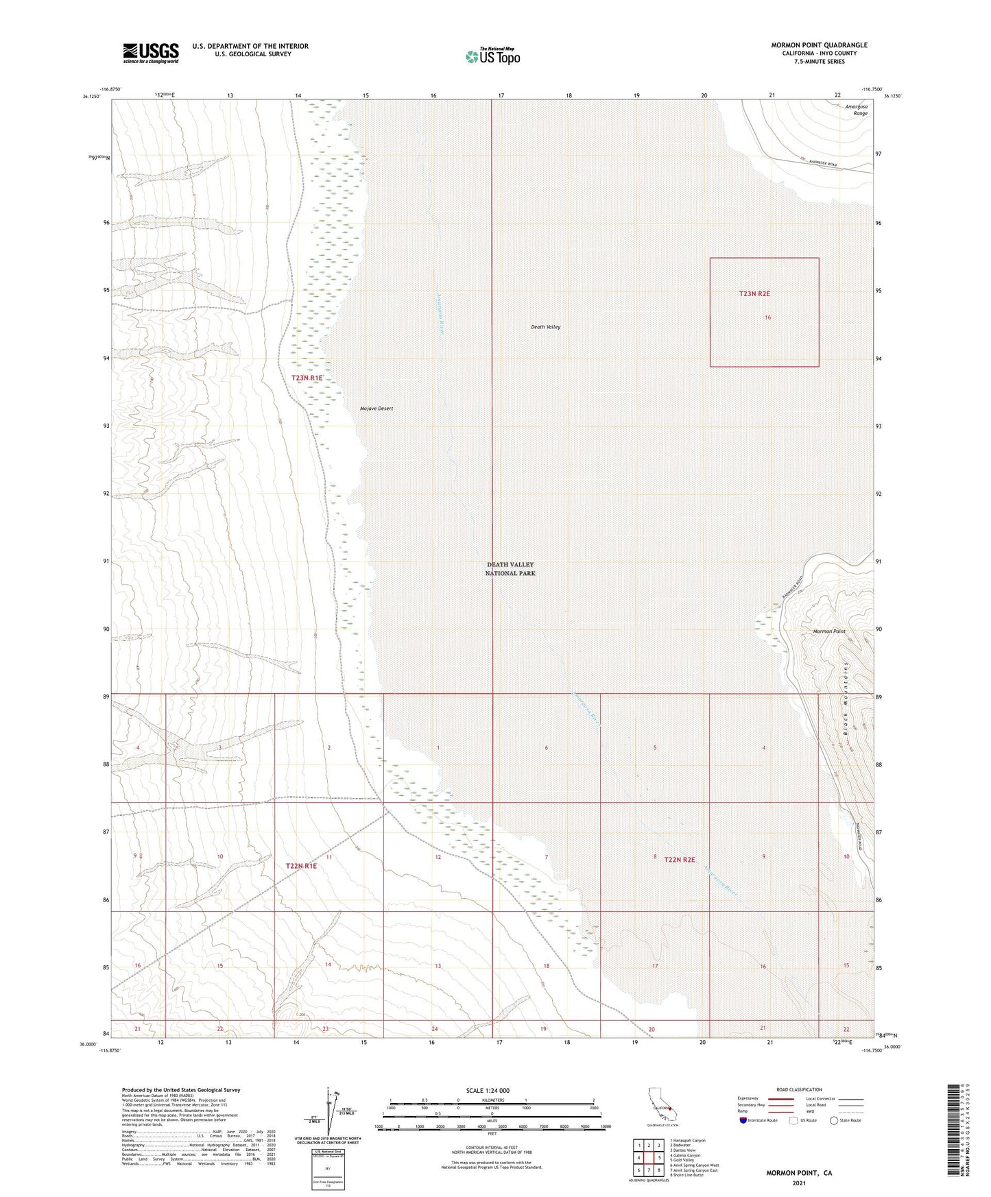
2021 topographic map quadrangle Mormon Point in the state of California. Scale: 1:24000. Based on the newly updated USGS 7.5' US Topo map series, this map is in the following counties: Inyo. The map contains contour data, water features, and other items you are used to seeing on USGS maps, but also has updated roads and other features. This is the next generation of topographic maps. Printed on high-quality waterproof paper with UV fade-resistant inks.
Quads adjacent to this one:
West: Galena Canyon
Northwest: Hanaupah Canyon
North: Badwater
Northeast: Dantes View
East: Gold Valley
Southeast: Shore Line Butte
South: Anvil Spring Canyon East
Southwest: Anvil Spring Canyon West
This map covers the same area as the classic USGS quad with code o36116a7.
Contains the following named places: Gravel Well, Mormon Point