MyTopo
New Dale California US Topo Map
Couldn't load pickup availability
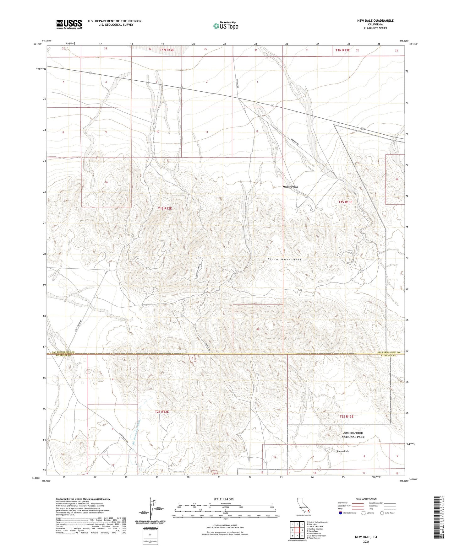
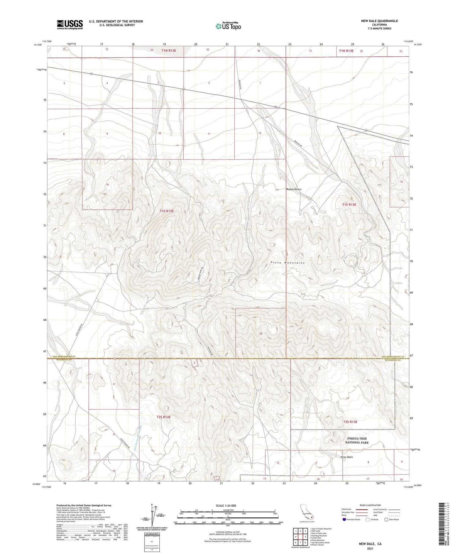
2021 topographic map quadrangle New Dale in the state of California. Scale: 1:24000. Based on the newly updated USGS 7.5' US Topo map series, this map is in the following counties: San Bernardino, Riverside. The map contains contour data, water features, and other items you are used to seeing on USGS maps, but also has updated roads and other features. This is the next generation of topographic maps. Printed on high-quality waterproof paper with UV fade-resistant inks.
Quads adjacent to this one:
West: Humbug Mountain
Northwest: East of Valley Mountain
North: Dale Lake
Northeast: East of Dale Lake
East: Clarks Pass
Southeast: Placer Canyon
South: San Bernardino Wash
Southwest: Pinto Mountain
This map covers the same area as the classic USGS quad with code o34115a6.
Contains the following named places: Brooklyn Mine, Carlysle Mine, Gold Rose Mine, Gold Standard Mine, Goldenrod Mine, Iron Age Mine, Ivanhoe Mine, Lorman Mine, Los Angeles Mine, Moose Mine, New Dale, Ok Mine, Rose of Peru Mine, Supply Mine