MyTopo
Nipomo California US Topo Map
Couldn't load pickup availability
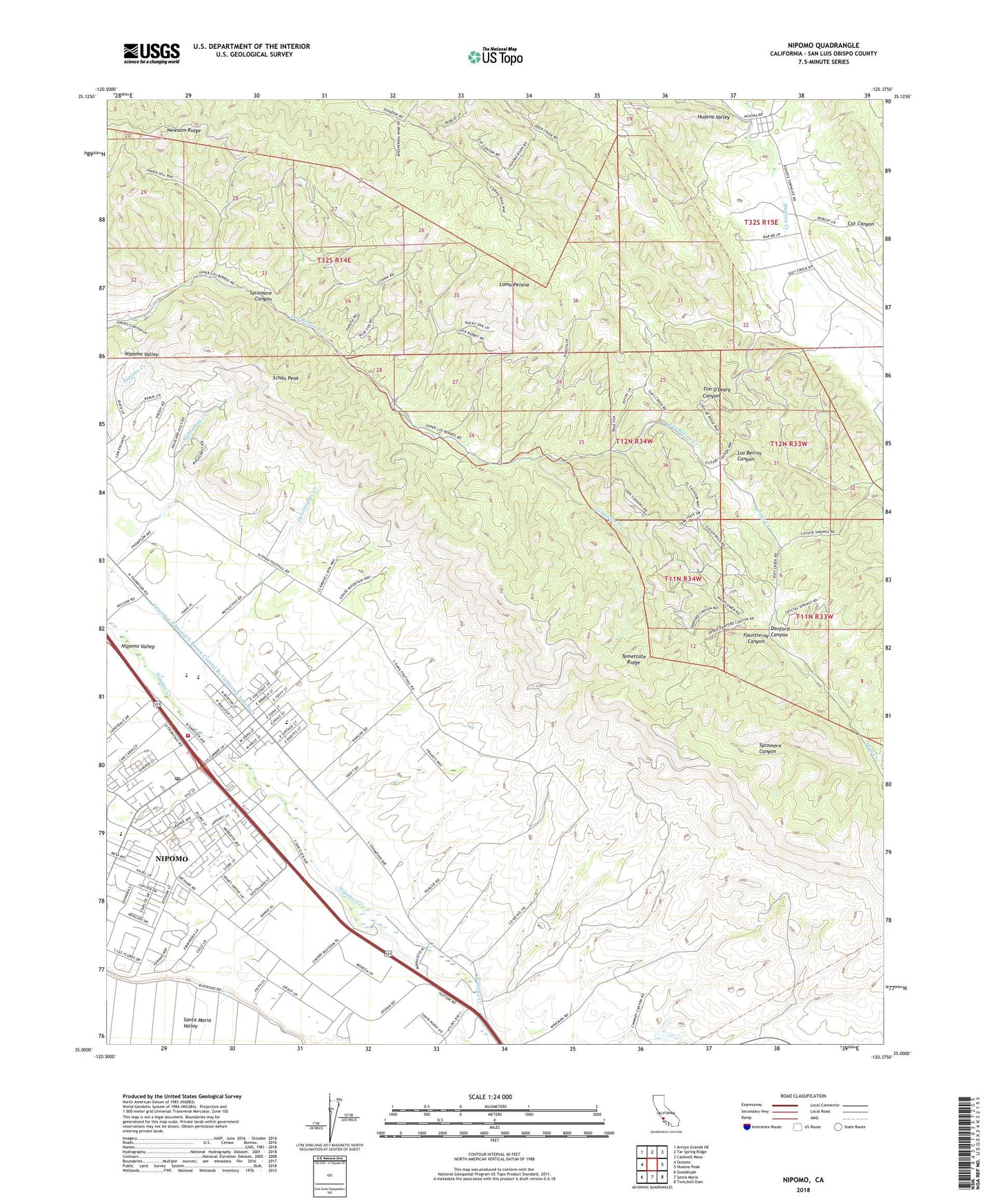
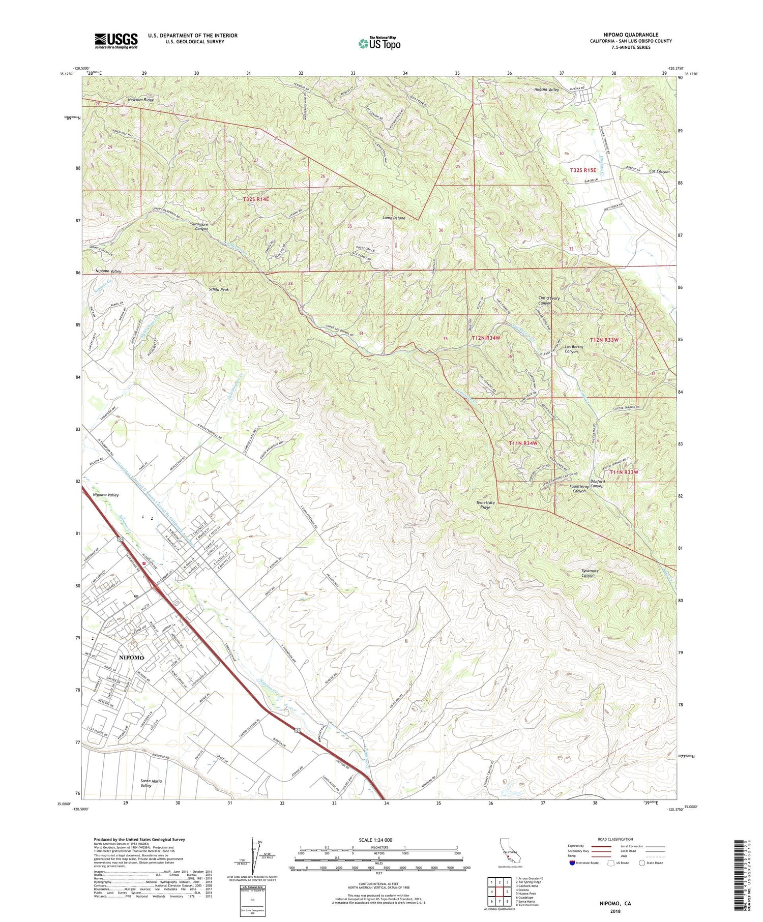
2021 topographic map quadrangle Nipomo in the state of California. Scale: 1:24000. Based on the newly updated USGS 7.5' US Topo map series, this map is in the following counties: San Luis Obispo. The map contains contour data, water features, and other items you are used to seeing on USGS maps, but also has updated roads and other features. This is the next generation of topographic maps. Printed on high-quality waterproof paper with UV fade-resistant inks.
Quads adjacent to this one:
West: Oceano
Northwest: Arroyo Grande NE
North: Tar Spring Ridge
Northeast: Caldwell Mesa
East: Huasna Peak
Southeast: Twitchell Dam
South: Santa Maria
Southwest: Guadalupe
This map covers the same area as the classic USGS quad with code o35120a4.
Contains the following named places: Arroyo Grande Division, Brassica Wholesale Nursery, CAL FIRE San Luis Obispo County Fire Department Nipomo Station 20, Church of Christ, Dana Adobe, Dana Elementary School, Danford Canyon, Deleissigues Creek, Fantasy Farm, Fauntleroy Canyon, First Baptist Church of Nipomo, Highland Preparatory School, Huasna, Huasna School, Jesus Saves Full Gospel Tabernacle Church, Kingdom Hall of Jehovahs Witnesses, Lemon Creek Ranch, Lighthouse Christian Center, Loma Bonita Ranch, Loma Pelona, Loma Pelona School, New Harvest Community Foursquare Church, Newsom Ridge, Nipomo, Nipomo Branch San Luis Obispo City-County Library, Nipomo Census Designated Place, Nipomo Community Center, Nipomo Community Medical Center, Nipomo Elementary School, Nipomo High School, Nipomo Old Town Nursery, Nipomo Post Office, Nipomo Regional Park, Nipomo Senior Center, Nipomo Shepherd of Hope Church, Nipomo Township, O K Avocado Ranch, Ross-Kellar Winery, Santa Maria Speedway, Schau Peak, Solid Rock Ranch, Suey Creek School, Sycamore Canyon, Temettate Creek, Temettate Ridge, Yo En Dios Dios En Mi Church


