MyTopo
Oxnard OE W California US Topo Map
Couldn't load pickup availability
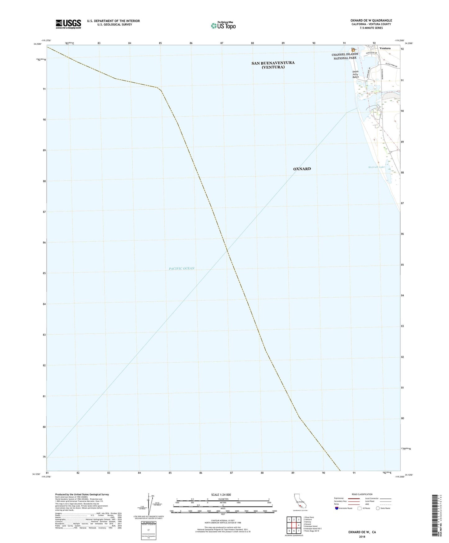
2022 topographic map quadrangle Oxnard OE W in the state of California. Scale: 1:24000. Based on the newly updated USGS 7.5' US Topo map series, this map is in the following counties: Ventura. The map contains contour data, water features, and other items you are used to seeing on USGS maps, but also has updated roads and other features. This is the next generation of topographic maps. Printed on high-quality waterproof paper with UV fade-resistant inks.
Quads adjacent to this one:
Northwest: Pitas Point
North: Ventura
Northeast: Saticoy
East: Oxnard
Southeast: Point Mugu OE W
South: Anacapa Island OE E
Southwest: Anacapa Island
Contains the following named places: Channel Islands National Park Headquarters and Visitors Center, Mandalay Generating Station, McGrath Lake, McGrath State Beach, Olivas Park, Pierpont Bay Yacht Club, Santa Clara Estuary Natural Preserve, Santa Clara River, South Jetty Beach, Ventura Harbor, Ventura Harbor Shopping Center, Ventura Harbor Village Shopping Center, Ventura Yacht Club