MyTopo
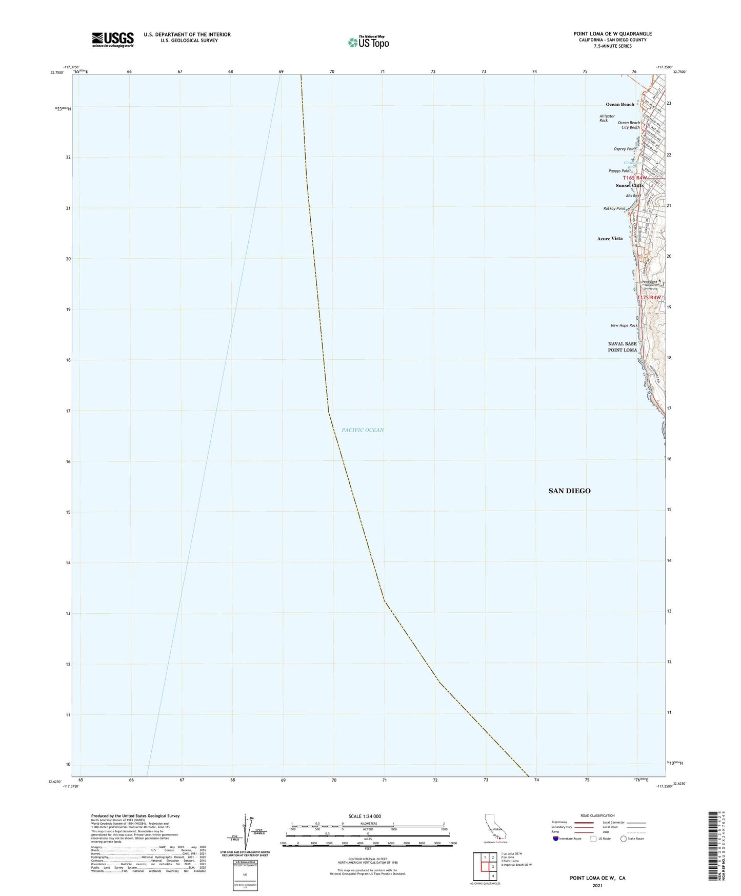
Point Loma OE W California US Topo Map
Couldn't load pickup availability
2021 topographic map quadrangle Point Loma OE W in the state of California. Scale: 1:24000. Based on the newly updated USGS 7.5' US Topo map series, this map is in the following counties: San Diego. The map contains contour data, water features, and other items you are used to seeing on USGS maps, but also has updated roads and other features. This is the next generation of topographic maps. Printed on high-quality waterproof paper with UV fade-resistant inks.
Quads adjacent to this one:
North: La Jolla OE W
Northeast: La Jolla
East: Point Loma
Southeast: Imperial Beach OE W
Contains the following named places: ABs Reef, Alligator Rock, Azure Vista, Bennington Monument, California Western University, Claibornes Cove, New Hope Rock, Ocean Beach, Ocean Beach City Beach, Ocean Beach Elementary School, Ocean Beach Fishing Pier, Osprey Point, Pappys Point, Point Loma Ecological Reserve, Point Loma Nazarene University, Point Loma Park, Ratkay Point, Riviera Villas, Sacred Heart Academy, Saint Peters by the Sea Church, Saint Peters by the Sea Pre-School, Silver Gate Elementary School, Sunset Cliffs, Sunset View Elementary School, Theosophical Headquarters, Warren-Walker School


