MyTopo
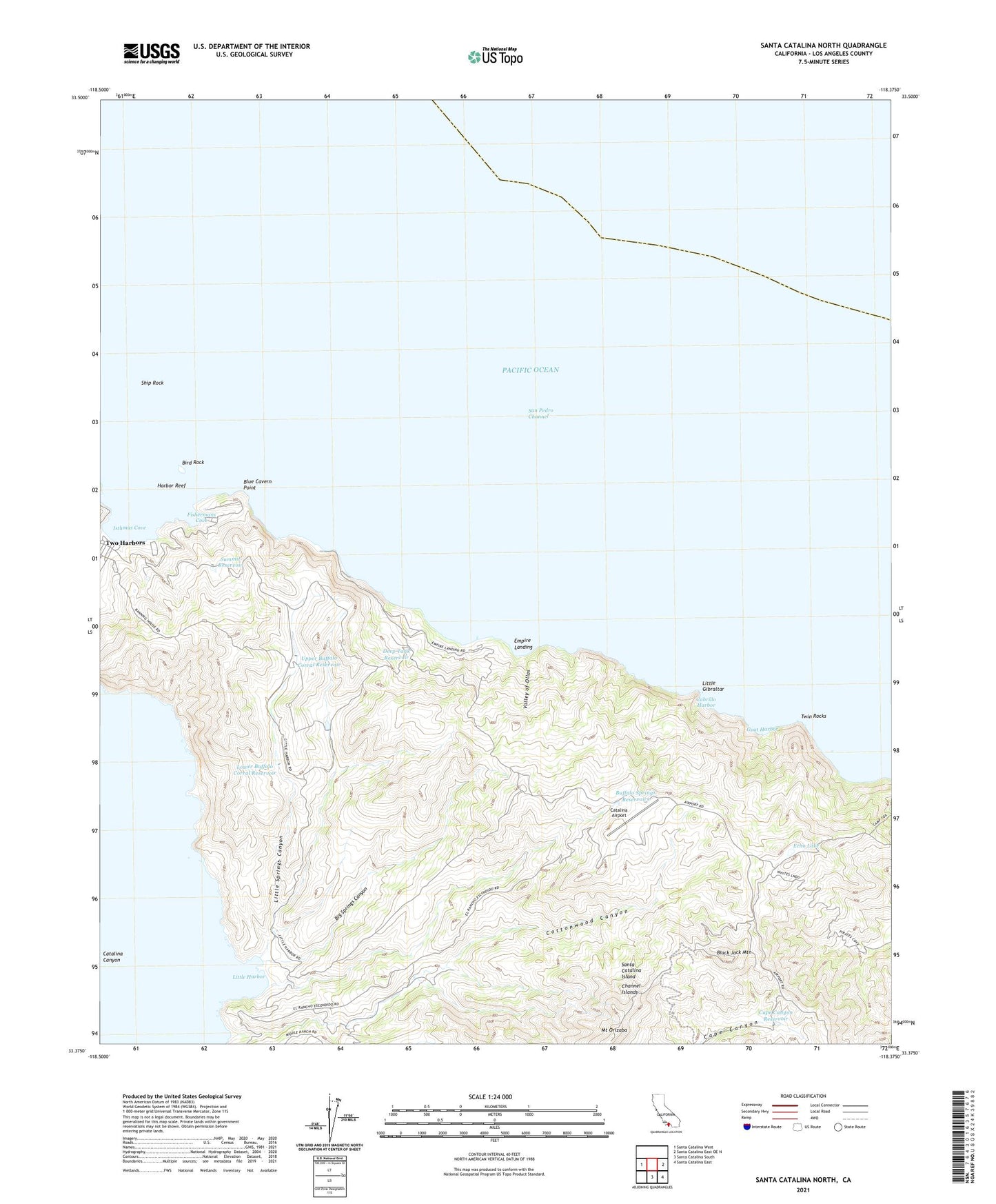
Santa Catalina North California US Topo Map
Couldn't load pickup availability
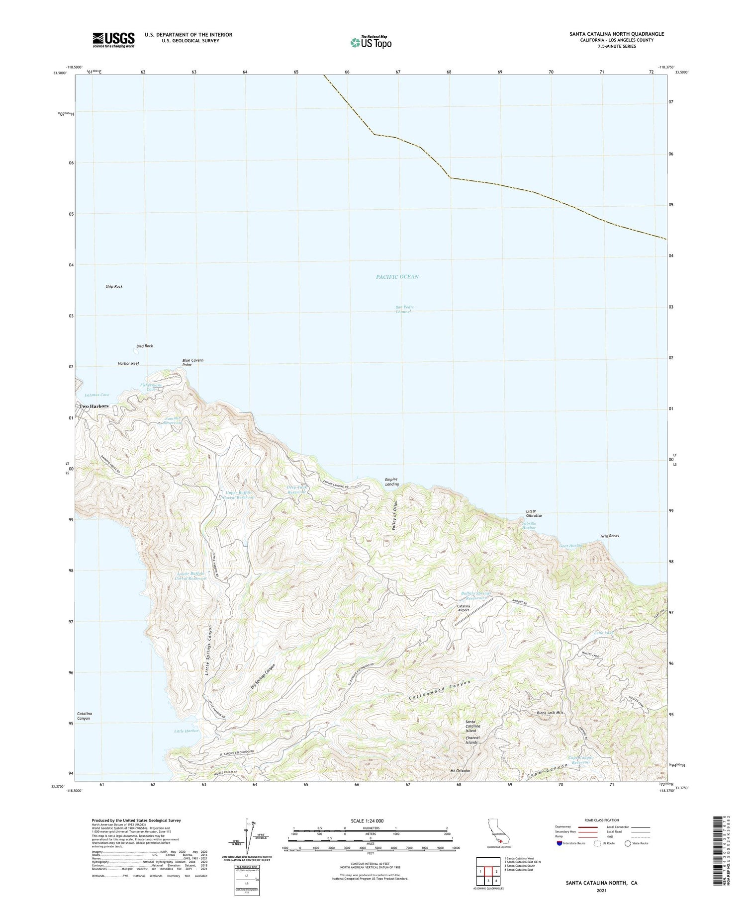
2021 topographic map quadrangle Santa Catalina North in the state of California. Scale: 1:24000. Based on the newly updated USGS 7.5' US Topo map series, this map is in the following counties: Los Angeles. The map contains contour data, water features, and other items you are used to seeing on USGS maps, but also has updated roads and other features. This is the next generation of topographic maps. Printed on high-quality waterproof paper with UV fade-resistant inks.
Quads adjacent to this one:
West: Santa Catalina West
East: Santa Catalina East OE N
Southeast: Santa Catalina East
South: Santa Catalina South
This map covers the same area as the classic USGS quad with code o33118d4.
Contains the following named places: Big Springs Canyon, Big Springs Reservoir, Bird Rock, Black Jack Camp, Black Jack Mountain, Blue Cavern Point, Buffalo Springs Reservoirs, Cabrillo Harbor, Cape Canyon Reservoir, Catalina Airport, Cottonwood Canyon, Deep Tank Reservoir, Echo Lake, Empire Landing, Fishermans Cove, Fourth of July Cove, Goat Harbor, Harbor Reef, Isthmus Cove, Italian Gardens, KRPA-TV (Rancho Palos Verdes ), Little Gibraltar, Little Harbor, Little Springs Canyon, Lower Buffalo Corral Reservoir, Mount Orizaba, Palos Verdes Division, Santa Catalina Island, Ship Rock, Summit Reservoir, Twin Rocks, Two Harbors, Upper Buffalo Corral Reservoir, Valley of Ollas, Wrigley Ranch, ZIP Code: 90704


