
MyTopo
Santa Rosa Island North California US Topo Map
Couldn't load pickup availability
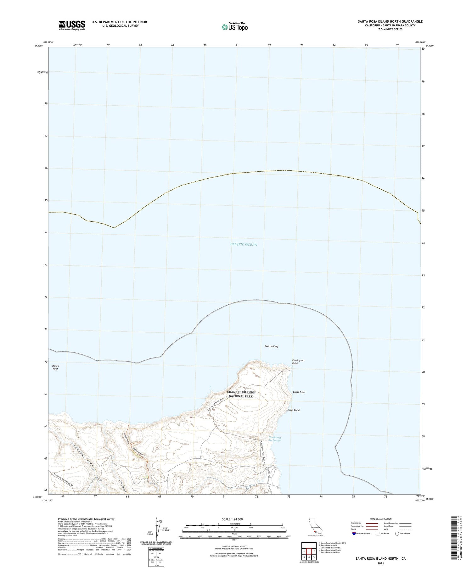
2021 topographic map quadrangle Santa Rosa Island North in the state of California. Scale: 1:24000. Based on the newly updated USGS 7.5' US Topo map series, this map is in the following counties: Santa Barbara. The map contains contour data, water features, and other items you are used to seeing on USGS maps, but also has updated roads and other features. This is the next generation of topographic maps. Printed on high-quality waterproof paper with UV fade-resistant inks.
Quads adjacent to this one:
West: Santa Rosa Island North OE W
East: Santa Cruz Island A
Southeast: Santa Rosa Island East
South: Santa Rosa Island South
Southwest: Santa Rosa Island West
Contains the following named places: Beacon Reef, Canada Lobos, Carrington Point, Coati Point, Corral Point, Cow Canyon, Northwest Anchorage, Rodes Reef


