MyTopo
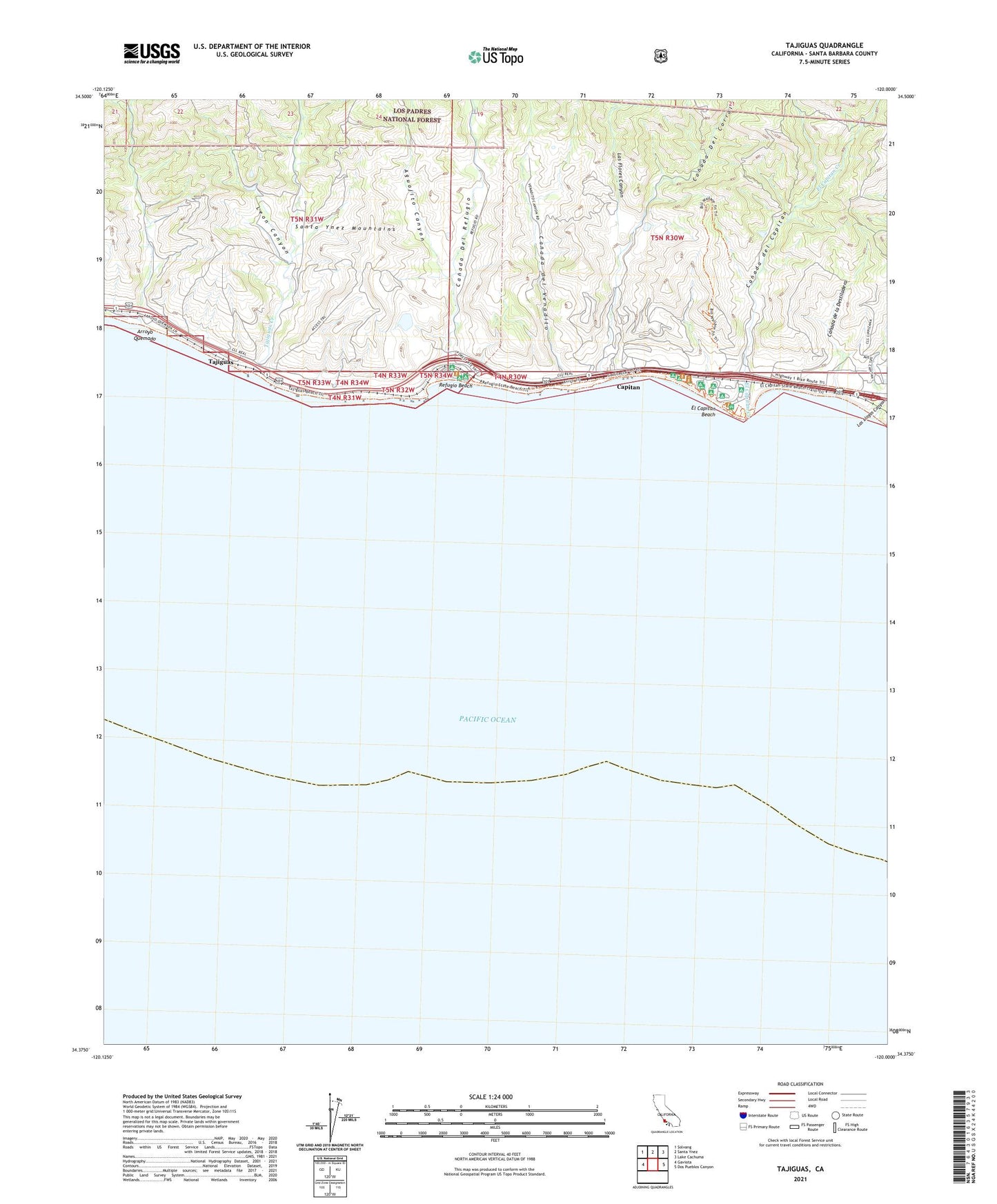
Tajiguas California US Topo Map
Couldn't load pickup availability
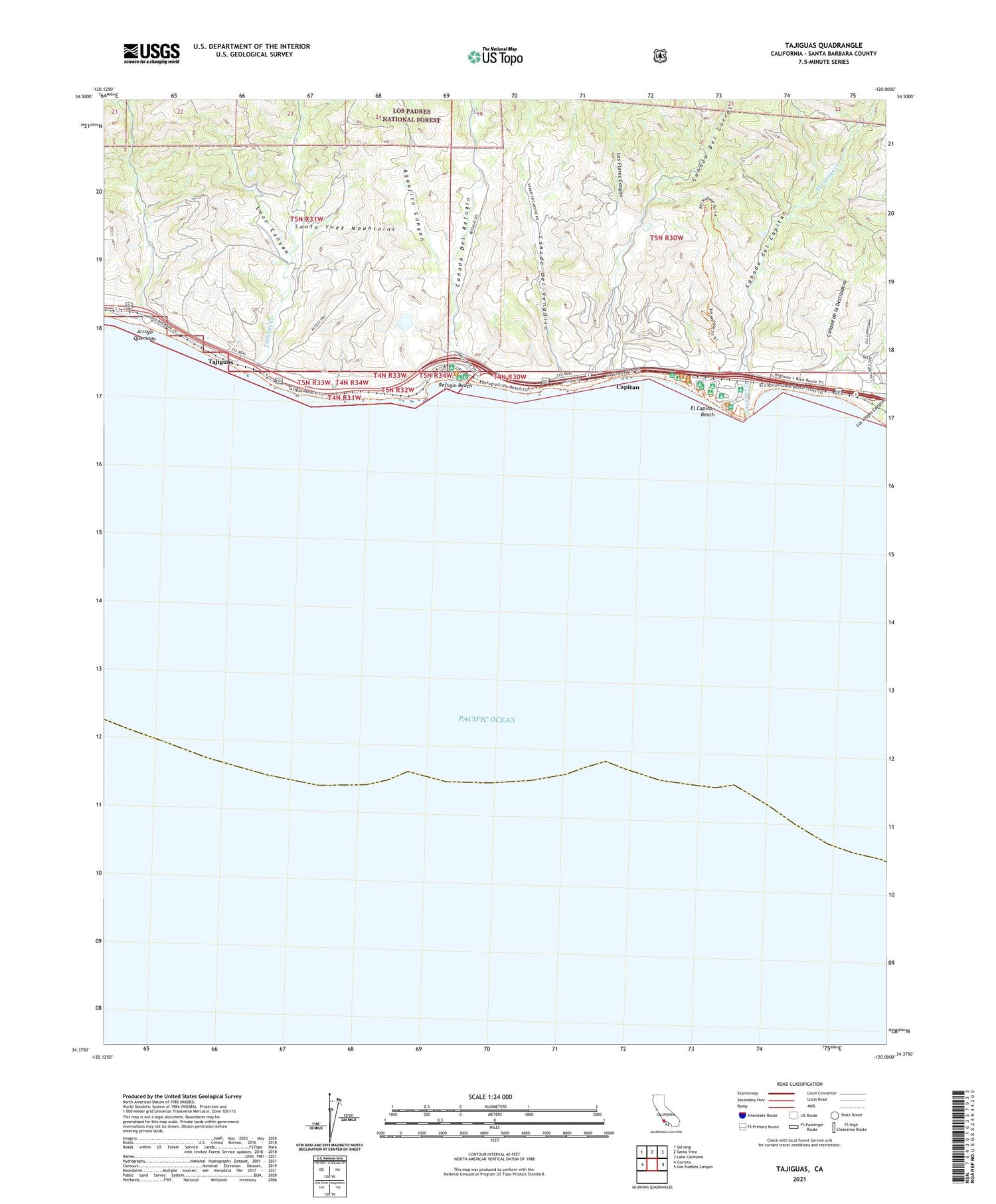
Also explore the Tajiguas Forest Service Topo of this same quad for updated USFS data
2021 topographic map quadrangle Tajiguas in the state of California. Scale: 1:24000. Based on the newly updated USGS 7.5' US Topo map series, this map is in the following counties: Santa Barbara. The map contains contour data, water features, and other items you are used to seeing on USGS maps, but also has updated roads and other features. This is the next generation of topographic maps. Printed on high-quality waterproof paper with UV fade-resistant inks.
Quads adjacent to this one:
West: Gaviota
Northwest: Solvang
North: Santa Ynez
Northeast: Lake Cachuma
East: Dos Pueblos Canyon
This map covers the same area as the classic USGS quad with code o34120d1.
Contains the following named places: Aguajito Canyon, Ahwin, Arroyo Quemado, Canada de la Destiladera, Canada del Capitan, Canada del Corral, Canada Del Corral, Canada Del Refugio, Canada del Venadito, Capitan, El Capitan Beach, El Capitan Creek, El Capitan State Beach, Exxon Santa Ynez Vessel Heliport, Las Flores Canyon, Las Llagas Canyon, Leon Canyon, Orella, Platform OCS P-0188 Hondo Heliport, Refugio Beach, Refugio State Beach, Tajiguas, Tajiguas Creek, Tajiguas Ranch, ZIP Code: 93117