MyTopo
Thermal Canyon California US Topo Map
Couldn't load pickup availability
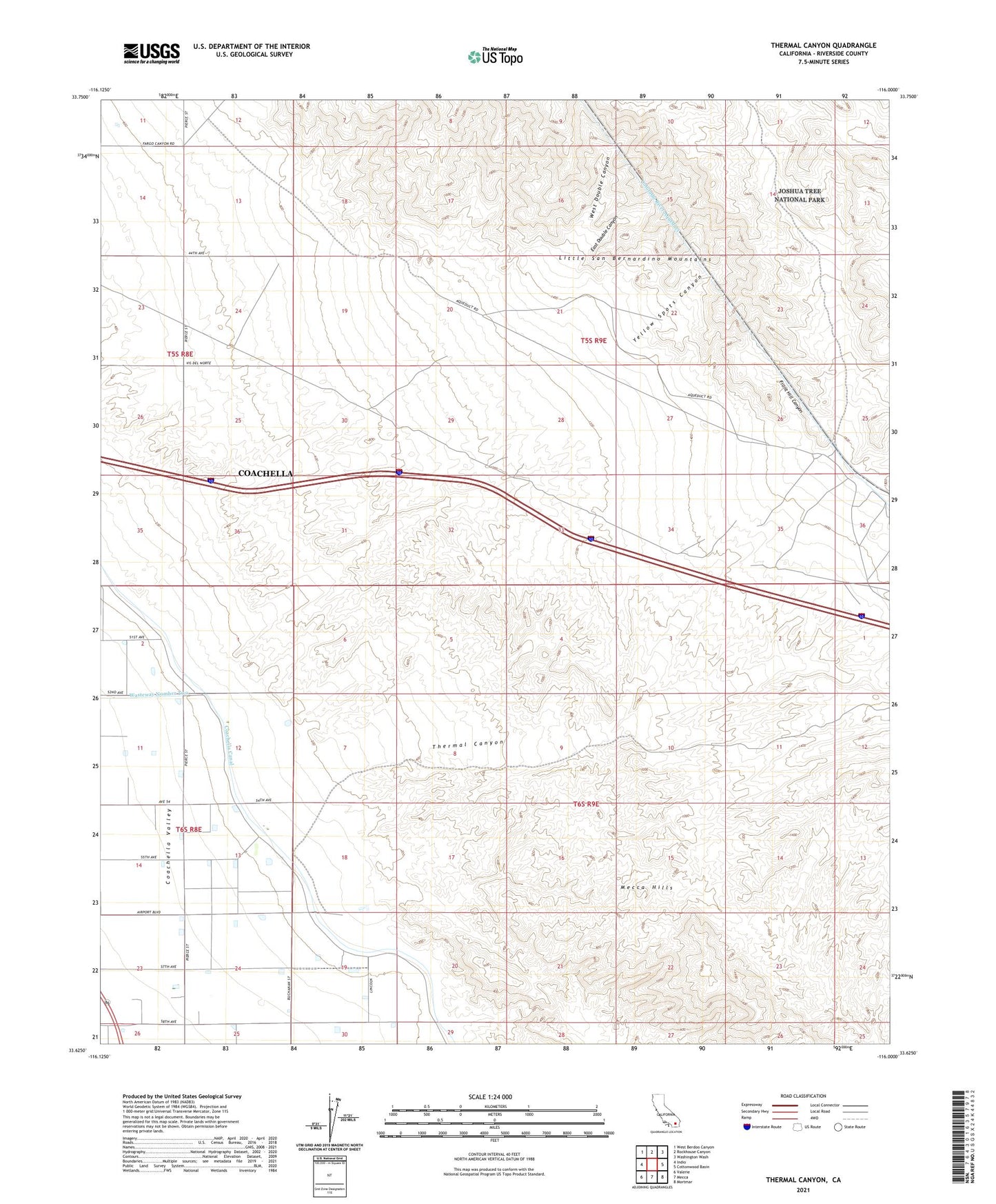
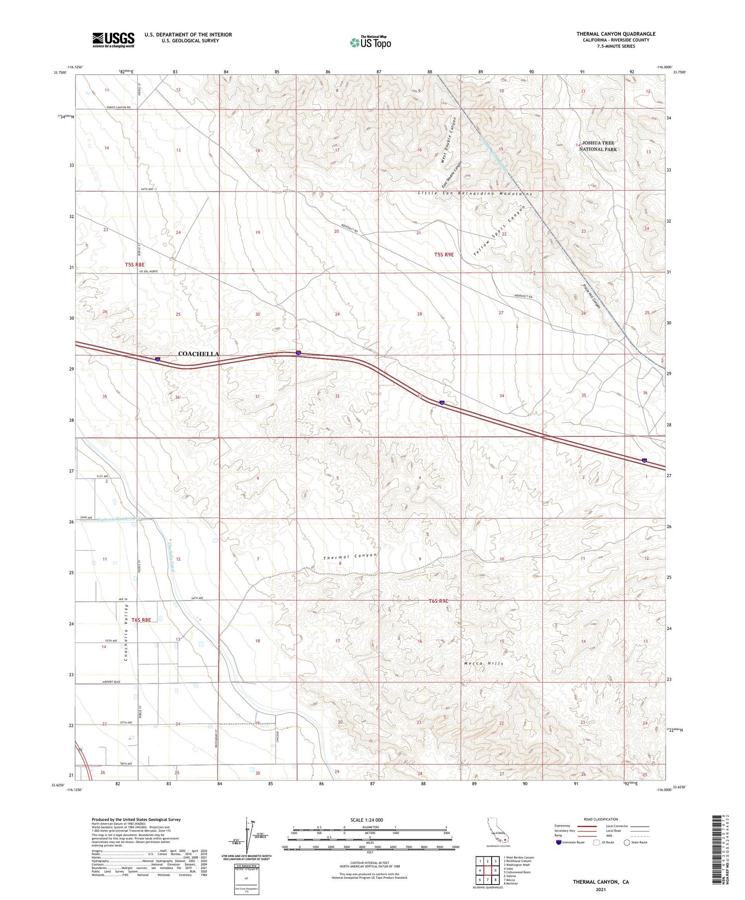
2021 topographic map quadrangle Thermal Canyon in the state of California. Scale: 1:24000. Based on the newly updated USGS 7.5' US Topo map series, this map is in the following counties: Riverside. The map contains contour data, water features, and other items you are used to seeing on USGS maps, but also has updated roads and other features. This is the next generation of topographic maps. Printed on high-quality waterproof paper with UV fade-resistant inks.
Quads adjacent to this one:
West: Indio
Northwest: West Berdoo Canyon
North: Rockhouse Canyon
Northeast: Washington Wash
East: Cottonwood Basin
Southeast: Mortmar
South: Mecca
Southwest: Valerie
This map covers the same area as the classic USGS quad with code o33116f1.
Contains the following named places: Aqueduct Jeep Trail, East Double Canyon, East Side Detention Dike Number 1 Dam, Front Hill Canyon, Thermal Canyon, West Double Canyon, Yellow Spots Canyon