MyTopo
West of Eagle Mountain California US Topo Map
Couldn't load pickup availability
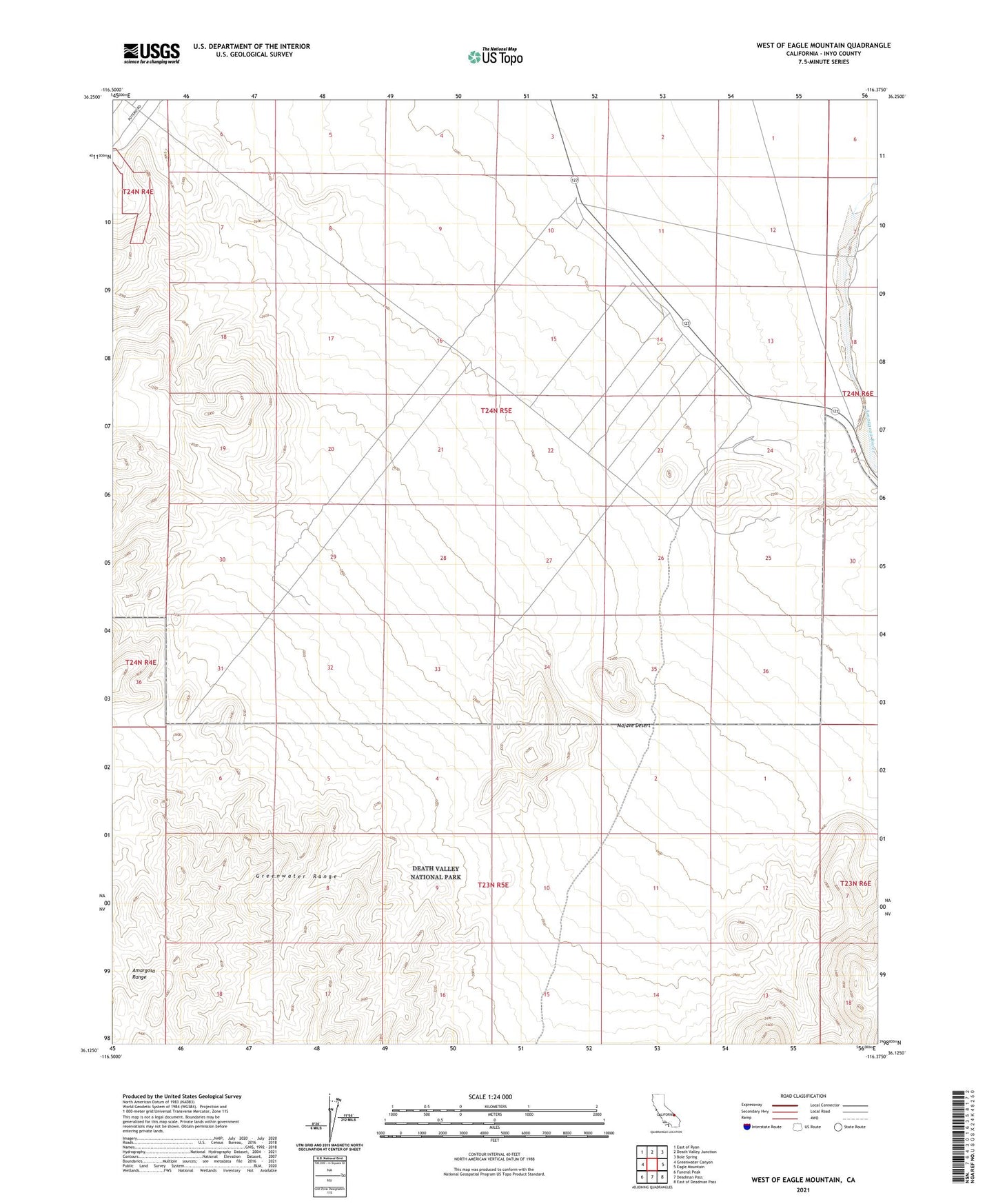
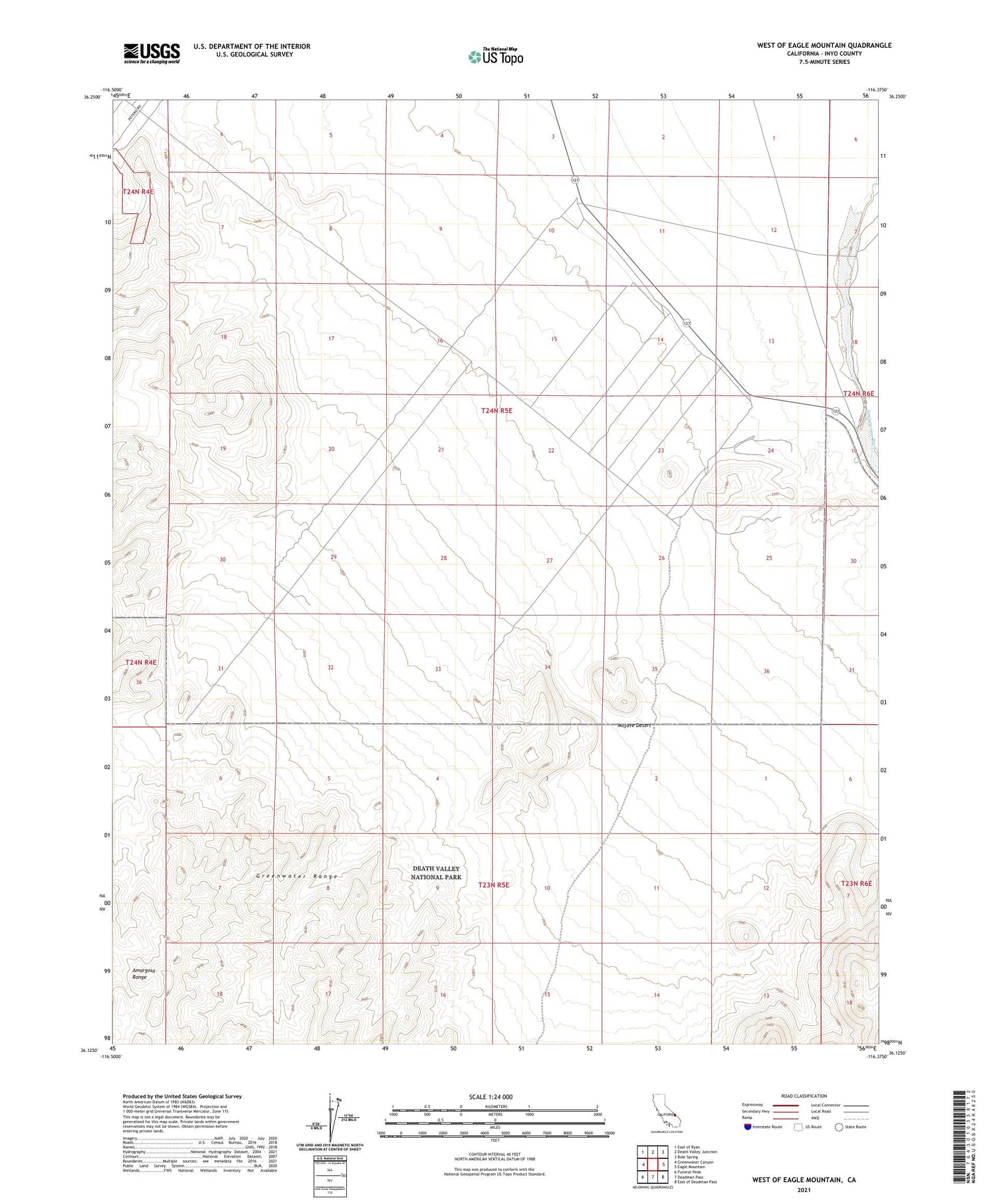
2021 topographic map quadrangle West of Eagle Mountain in the state of California. Scale: 1:24000. Based on the newly updated USGS 7.5' US Topo map series, this map is in the following counties: Inyo. The map contains contour data, water features, and other items you are used to seeing on USGS maps, but also has updated roads and other features. This is the next generation of topographic maps. Printed on high-quality waterproof paper with UV fade-resistant inks.
Quads adjacent to this one:
West: Greenwater Canyon
Northwest: East of Ryan
North: Death Valley Junction
Northeast: Bole Spring
East: Eagle Mountain
Southeast: East of Deadman Pass
South: Deadman Pass
Southwest: Funeral Peak
This map covers the same area as the classic USGS quad with code o36116b4.
Contains the following named places: Carson Slough, Greenwater Range, Lila C, Lila C Mine