MyTopo
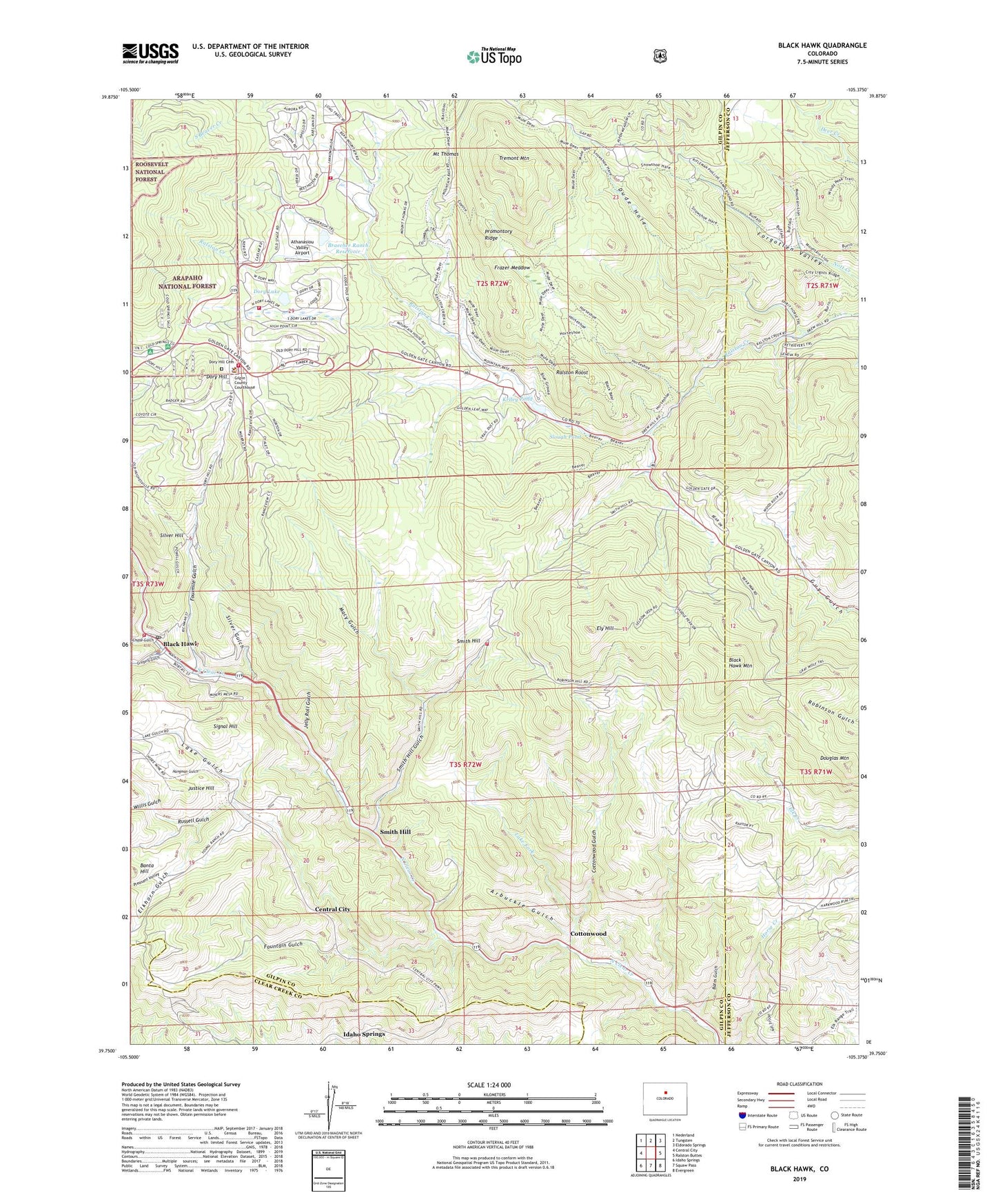
Black Hawk Colorado US Topo Map
Couldn't load pickup availability
Also explore the Black Hawk Forest Service Topo of this same quad for updated USFS data
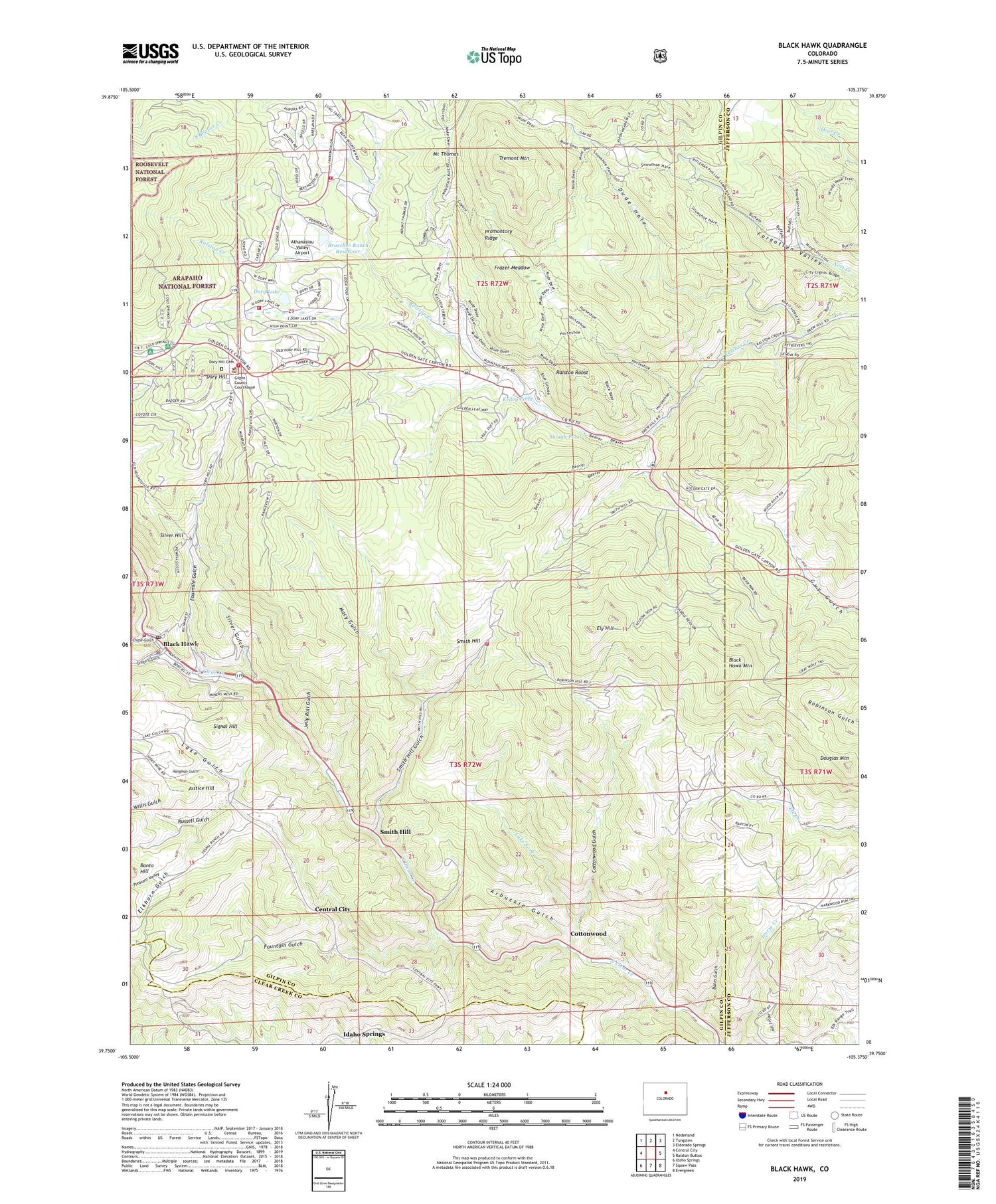
2022 topographic map quadrangle Black Hawk in the state of Colorado. Scale: 1:24000. Based on the newly updated USGS 7.5' US Topo map series, this map is in the following counties: Gilpin, Jefferson, Clear Creek. The map contains contour data, water features, and other items you are used to seeing on USGS maps, but also has updated roads and other features. This is the next generation of topographic maps. Printed on high-quality waterproof paper with UV fade-resistant inks.
Quads adjacent to this one:
West: Central City
Northwest: Nederland
North: Tungsten
Northeast: Eldorado Springs
East: Ralston Buttes
Southeast: Evergreen
South: Squaw Pass
Southwest: Idaho Springs
This map covers the same area as the classic USGS quad with code o39105g4.
Contains the following named places: Adelbert Lode Mine, After Supper Mine, Ajax Mica Mine, American Girl Mine, Arbuckle Gulch, Athanasiou Valley Airport, Baltimore Mine, Banta Hill, Banta Hill Mine, Bates Gulch, Beecher Mine, Black Hawk, Black Hawk Fire Department, Black Hawk Mountain, Black Hawk Police Department, Black Hawk Post Office, Blackhawk Placer Mine, Bobtail Mine, Bootleg Bottom Picnic Area, Bowman Lease Mine, Braecher Lake, Braecher Ranch Dam, Chase Gulch, Chemung-Belmont Mine, Cherokee Mine, City of Black Hawk, Cold Springs Campground, Congress Lode, Cottonwood, Cottonwood Gulch, Cyclops Mine, Denango County Mine, Diamond Joe Mine, Dory Hill, Dory Hill Cemetery, Dory Hill Mine, Dory Lake, Douglas Mountain, Dude Hole, E and H Jelly Roll Mine, East Williams Mine, Elkhorn Gulch, Ely Hill, Fisk Mine, Forgotten Valley, Fountain Gulch, Fourmile Gulch, Frazer Meadow, Gilpin Ambulance Authority Black Hawk, Gilpin County Community Center, Gilpin County Jail, Gilpin County Justice Center - Courthouse, Gilpin County Library, Gilpin County Sheriff's Office, Gold Bug Mine, Gold Medal Mine, Golden Gate Canyon State Park, Gregory Gulch, Gregory Mine, Hangman Gulch, Hope Mine, Hunky Dory Mine, Jelly Roll Gulch, Justice Hill, Justice Mine, Klence Fall Mine, Kriley Pond, Lake Fork, Lake Gulch, Little Annie Mine, Lost Dollar Mine, Lost Lode Mine, Macy Gulch, Marshall Placer, Mary Miller Mine, Morning Snow Mine, Mount Thomas, Nemeha-Cotton Mine, Ole Barn Knoll Picnic Area, Pleasant Valley, Priscilla Group Claim Mine, Promontory Ridge, Ralston Roost, Ralston Roost Picnic Area, Reider Mine, Rimrock Campground, Root Ranch Lease Mine, Round the Bend Picnic Area, Russell Gulch, Shamrock Mine, Signal Hill, Silent Friend Mine, Silver Dollar Mine, Silver Gulch, Silver Hill, Slough Pond, Smith Hill, Smith Hill Gulch, Smith Mine, Specie Mine, Spread Eagle Mine, Success-Meeker Mine, Timberline Fire / Rescue Station 3, Timberline Fire / Rescue Station 6, Timberline Fire Protection District Station 5, Timberline Fire Protection District Station 7, Tremont Mountain, Two Brothers Tunnel Mine, Widow Woman Vein Mine, Willis Gulch, Wolverine Mine, ZIP Code: 80427


