MyTopo
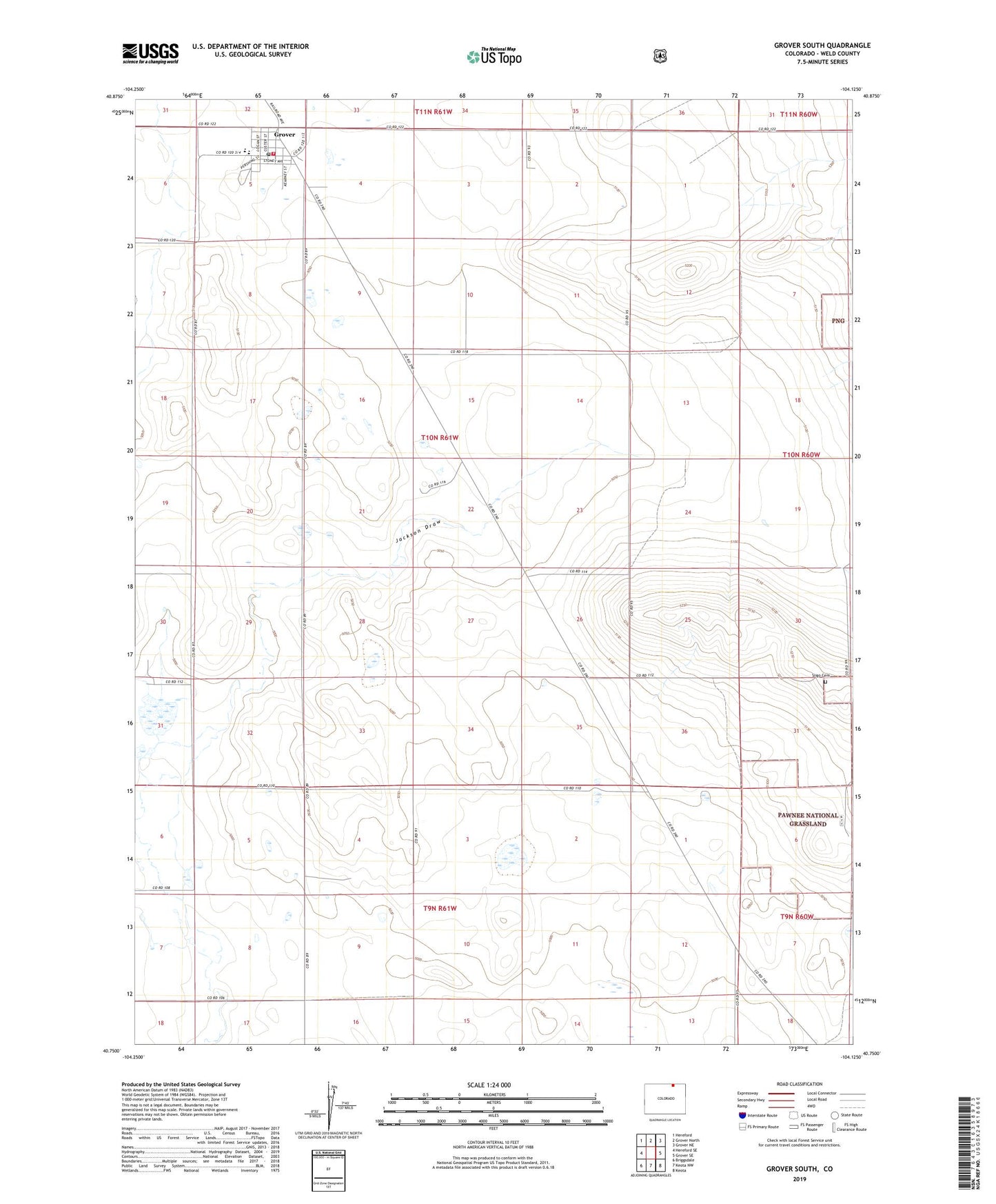
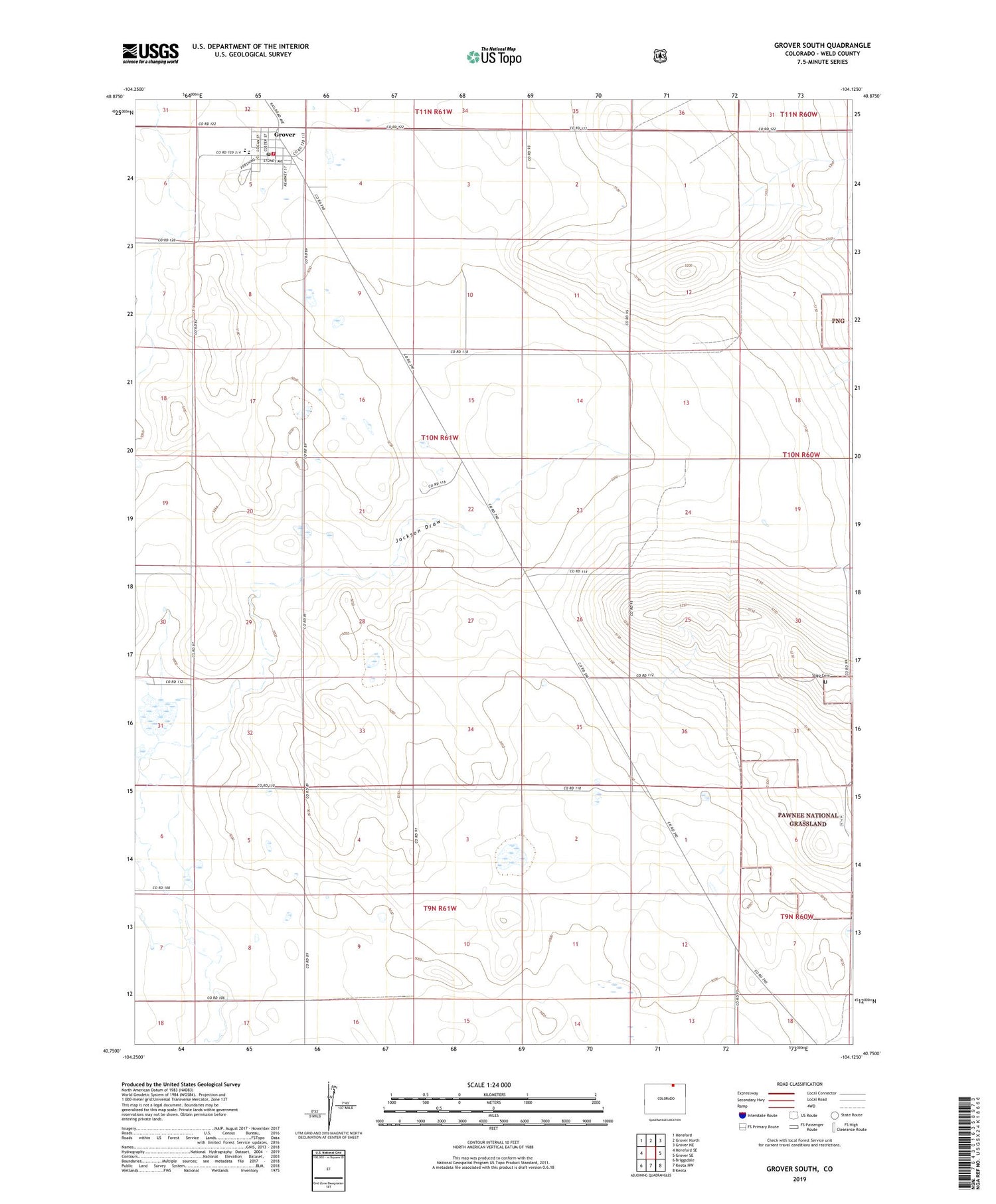
Grover South Colorado US Topo Map
Couldn't load pickup availability
Also explore the Grover South Forest Service Topo of this same quad for updated USFS data
2022 topographic map quadrangle Grover South in the state of Colorado. Scale: 1:24000. Based on the newly updated USGS 7.5' US Topo map series, this map is in the following counties: Weld. The map contains contour data, water features, and other items you are used to seeing on USGS maps, but also has updated roads and other features. This is the next generation of topographic maps. Printed on high-quality waterproof paper with UV fade-resistant inks.
Quads adjacent to this one:
West: Hereford SE
Northwest: Hereford
North: Grover North
Northeast: Grover NE
East: Grover SE
Southeast: Keota
South: Keota NW
Southwest: Briggsdale
This map covers the same area as the classic USGS quad with code o40104g2.
Contains the following named places: Grover, Grover Post Office, Keota Oil Field, Pawnee Fire Protection District Grover Fire Department, Sligo Cemetery, Town of Grover